Understanding the Difference Between a Land Survey, Property Staking, and an Archaeological Survey in the County of Hawaiʻi
If you’re purchasing vacant land on the Big Island, you may hear terms like land survey, staking, and archaeological survey used interchangeably—but they are very different services with very different purposes. Knowing the difference can help you avoid delays, unexpected costs, and confusion during your purchase or building process.
Here’s a breakdown of what each one means and when you may need it.
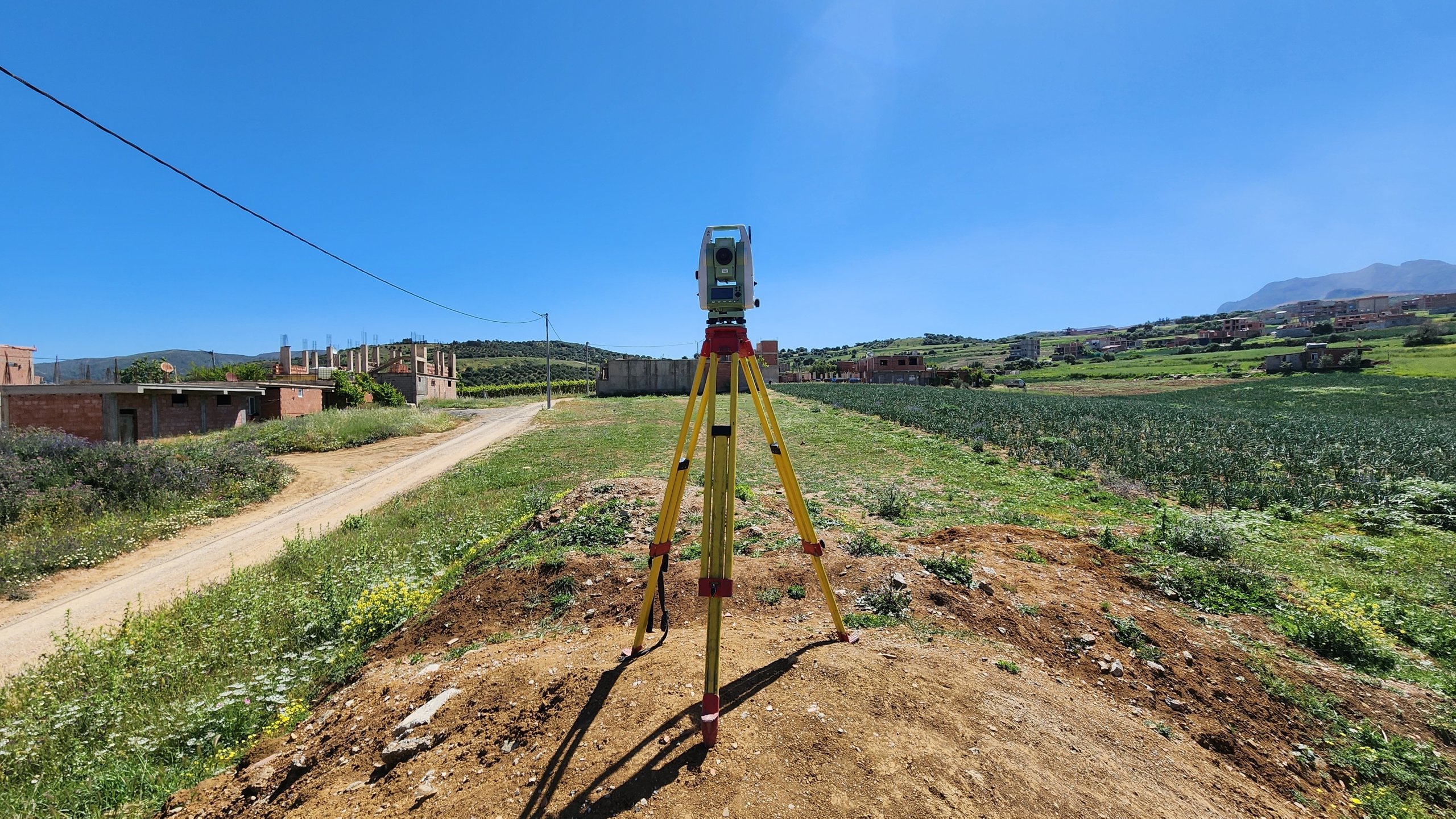
1. Land Survey (Boundary Survey)
A land survey is the most comprehensive way to confirm exactly where your property boundaries are located.
A licensed Hawaiʻi surveyor:
- Researches recorded maps and legal descriptions
- Locates existing boundary markers (if present)
- Measures the property using professional equipment
- Confirms boundary locations
- Produces a survey map showing property dimensions and features
When You Typically Need a Land Survey
A boundary survey is recommended when:
- Buying a large vacant lot that is irregularly shaped
- Installing fencing
- Planning construction near property lines
- Resolving boundary disputes
- Subdividing property
On the Big Island, many older subdivision lots were originally surveyed decades ago. Over time, markers may be buried, missing, or difficult to locate—especially in forested areas like Puna, Orchidland, Hawaiian Acres, or Fern Forest.
Important: A land survey provides legal boundary confirmation. Staking alone does not.
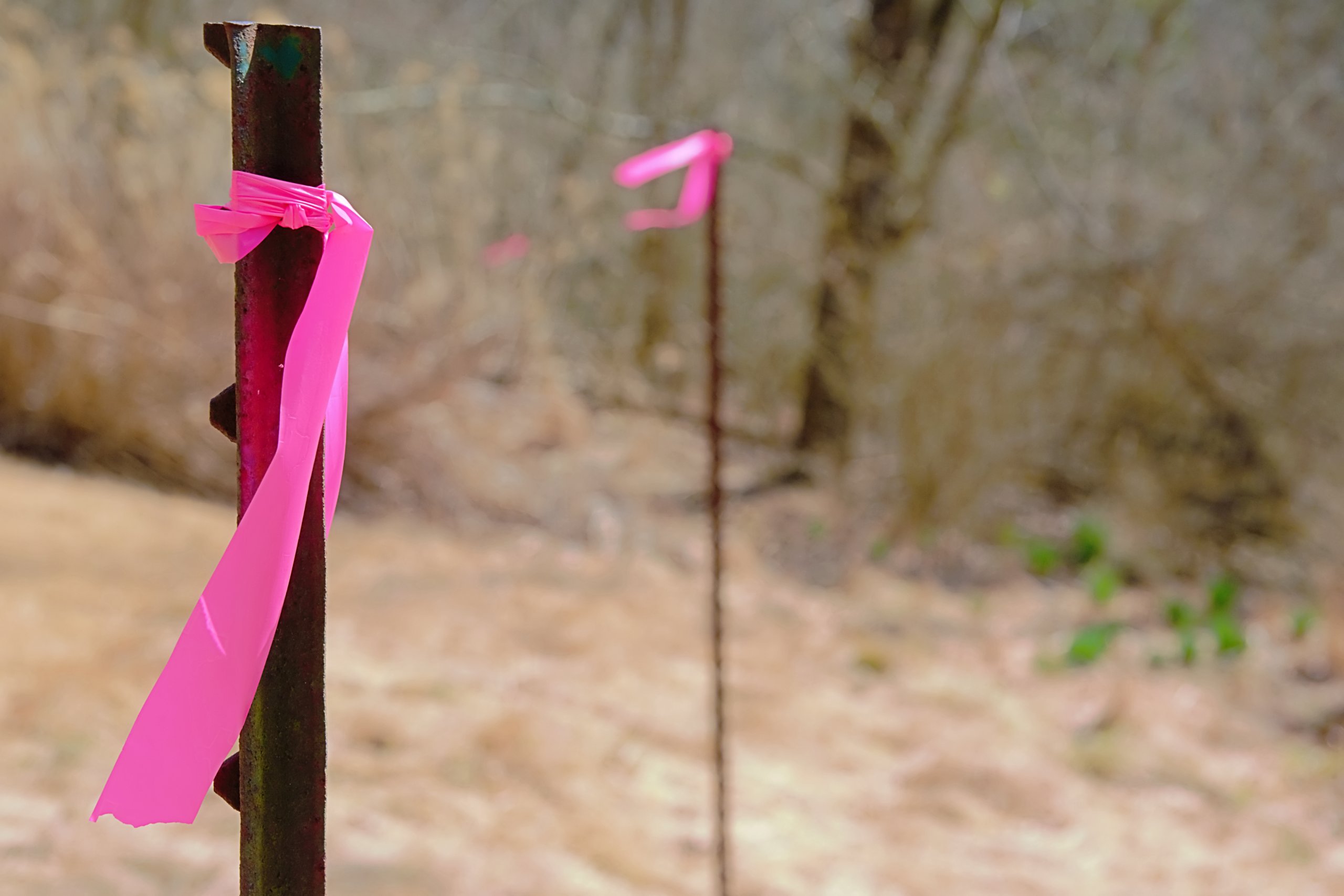
2. Property Staking
Staking means physically marking property corners on the ground so they are visible.
Surveyors typically:
- Locate boundary corners
- Place stakes or flagging at corners
- Sometimes flag boundary lines between corners
This is often done:
- When purchasing a vacant lot in a developed subdivision
- Using existing recorded survey data (if reliable monuments remain)
When Staking is Commonly Used
Property staking is helpful when:
- Clearing land
- Installing fencing
- Showing contractors where boundaries are
- Helping buyers visualize lot size
Think of staking as the visible field marking, while a survey is the official measurement and documentation.
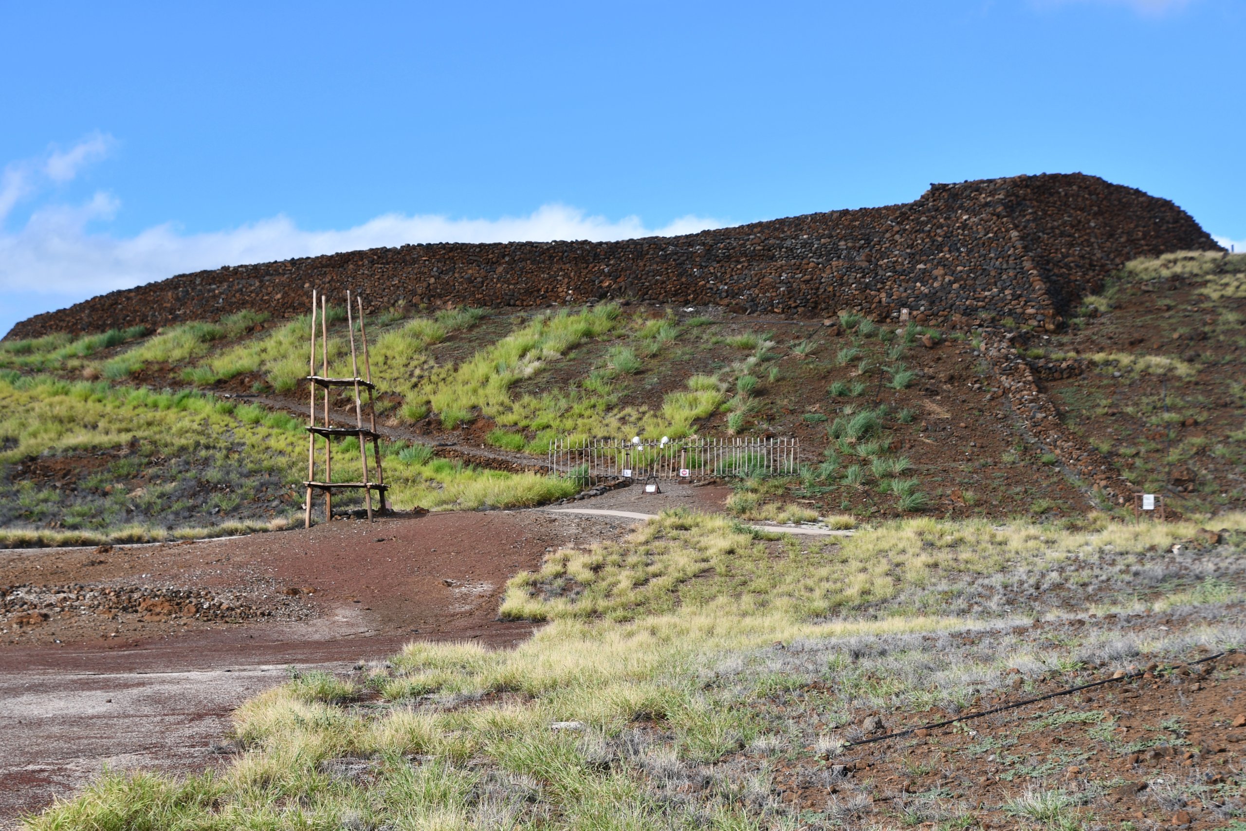
3. Archaeological Survey (AIS)
An Archaeological Inventory Survey (AIS) is completely different from a boundary survey. Archaeological surveys are generally required in Hawaii when a proposed development project involves state or county lands, requires state or county permits, or uses state funds. These surveys are part of the historic preservation review process (often referred to as “Chapter 6E review“) to identify, evaluate, and mitigate impacts on historic properties.
It evaluates whether there are historic or cultural resources on a property. Key firms like Cultural Surveys Hawai‘i (with a Hilo office), ASM Affiliates, and OASES conduct these studies, including inventory surveys, site visits, and mapping, as seen in this 2024 CSH document. The Bishop Museum also maintains a database of over 12,800 sites.
These surveys are conducted by qualified archaeologists—not surveyors—and are sometimes required before development, grading, or building permits can be issued.
An AIS may:
- Identify historic Hawaiian habitation sites
- Locate burial sites
- Document agricultural terraces or lava tubes
- Record cultural features protected under state law
When an Archaeological Survey May be Required
In the County of Hawaiʻi, an AIS may be required:
- When subdividing land
- When developing larger parcels
- If the parcel falls within a known cultural sensitivity area
- If triggered by the State Historic Preservation Division (SHPD)
Most residential subdivision lots do not require an archaeological survey—but some may if this is a large project scope with undeveloped land.
If archaeological features are discovered, additional review or preservation requirements may apply.
Quick Comparison Guide
| Service | Purpose | Who Performs It | Required for Permits? |
| Land Survey | Confirms legal boundaries | Licensed land surveyor | Sometimes |
| Property Staking | Marks corners on the ground | Surveyor | Usually optional |
| Archaeological Survey (AIS) | Identifies cultural/historic sites | Archaeologist | Sometimes |
Why This Matters for Big Island Buyers
Vacant land on Hawaiʻi Island often looks similar at first glance—but requirements can vary significantly from one parcel to another.
For example:
- Heavily forested parcels may need staking before clearing
- Older subdivisions with undeveloped lots may benefit from a fresh boundary survey
- Certain areas that are known may trigger archaeological review before construction
Understanding these differences early helps buyers plan realistically for timeline, permitting, and development costs.
As someone who has worked with many land transactions across subdivisions like Hawaiian Acres, Orchidland Estates, Ainaloa, and Volcano Golf & Country Club, I often recommend buyers confirm whether staking or a survey already exists before closing—it can save both time and money later.
If you’re considering purchasing vacant land on the Big Island and want help determining what surveys may apply to a specific parcel, I’m happy to walk through the details with you.

Leave your opinion here. Please be nice. Your Email address will be kept private, this form is secure and we never spam you.