Click to
communicate.
Sign In
10,000
Listings
Sort
Map
Whoops, that listing wasn't found.
We tried to find your listing, but we couldn't.
We don't currently show sold or expired listings.
Create New Search
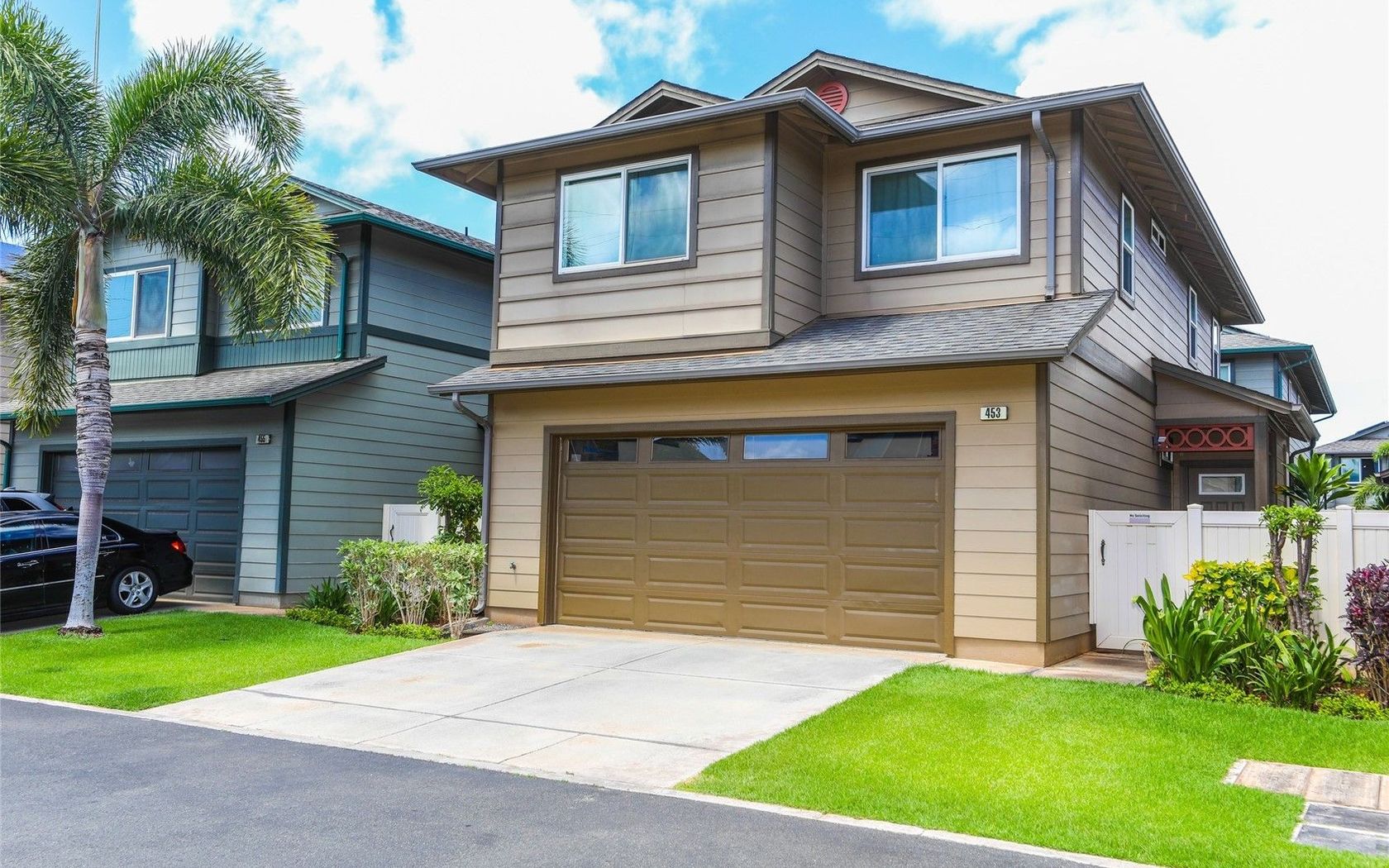
Fresh on Market
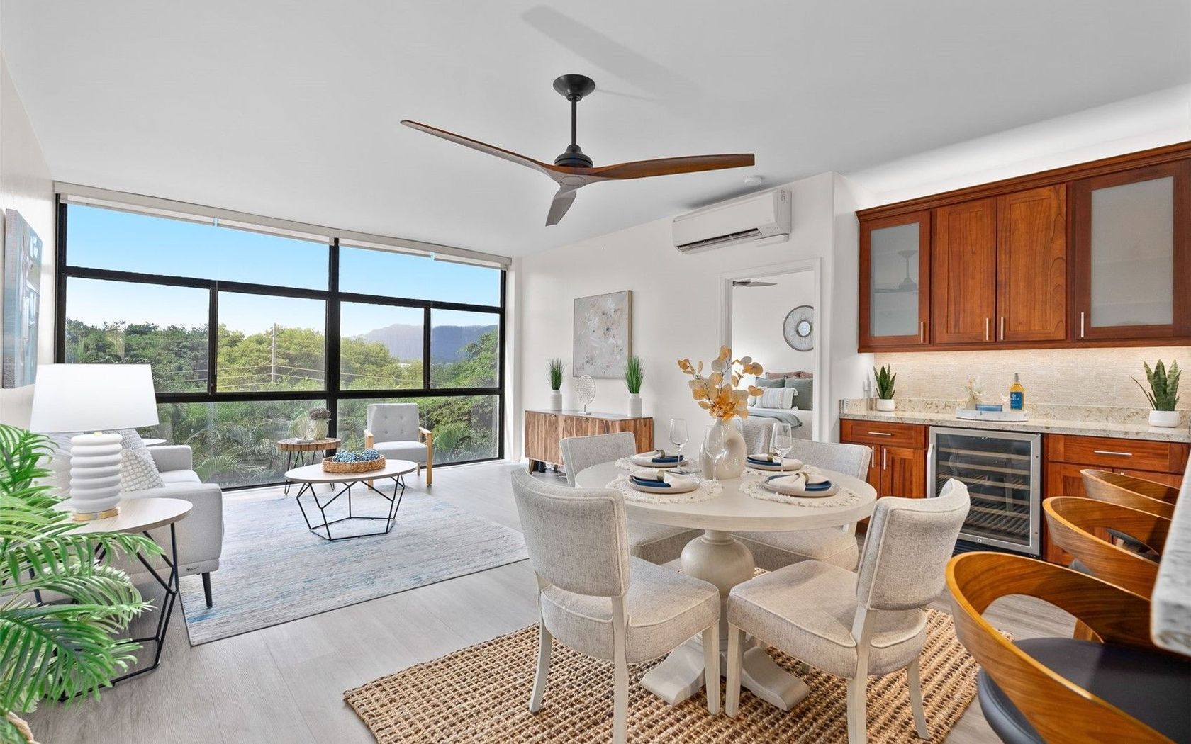
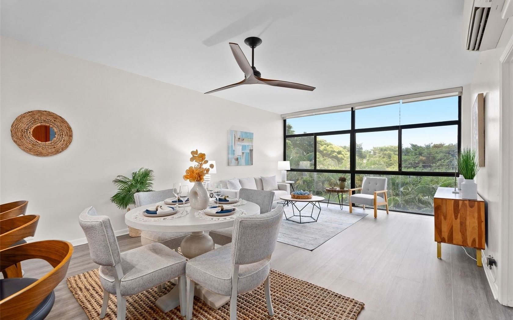
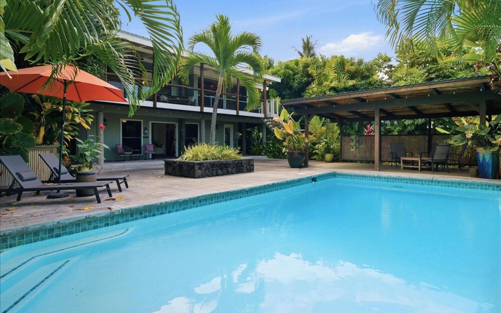
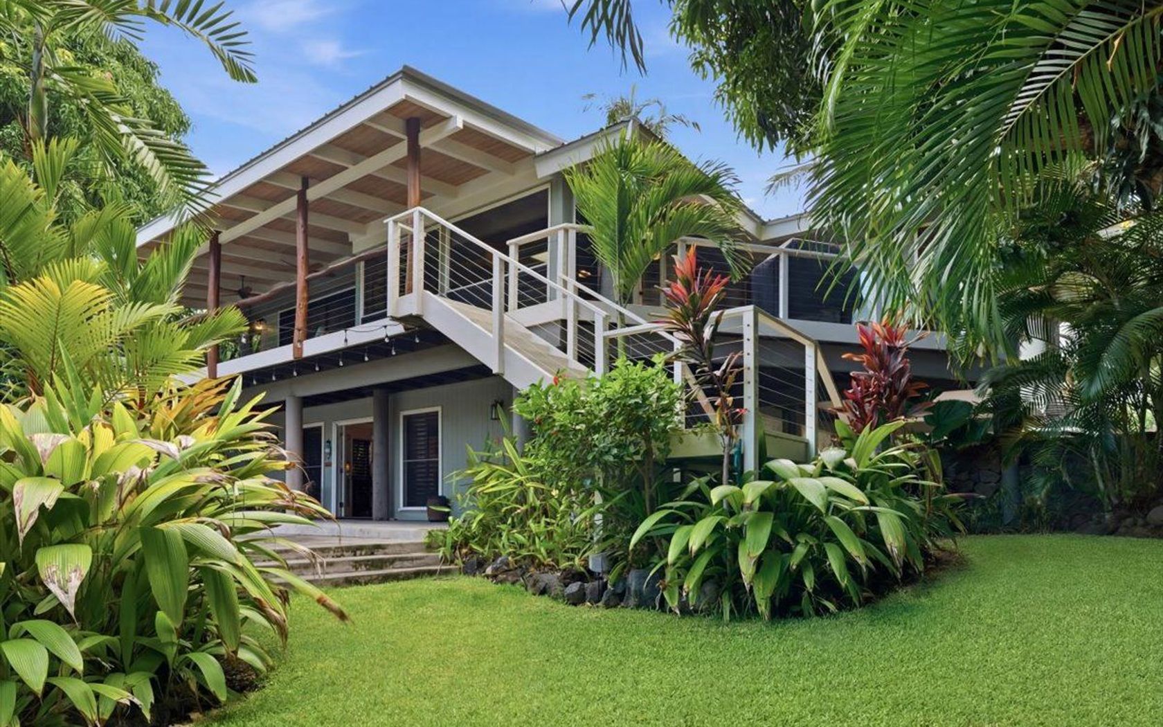
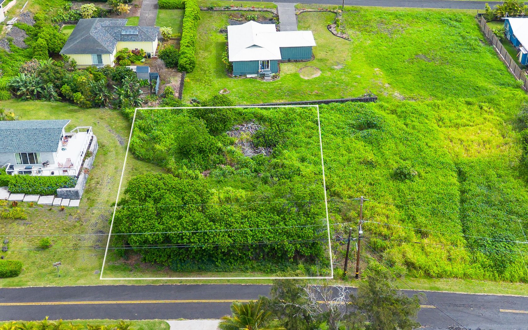
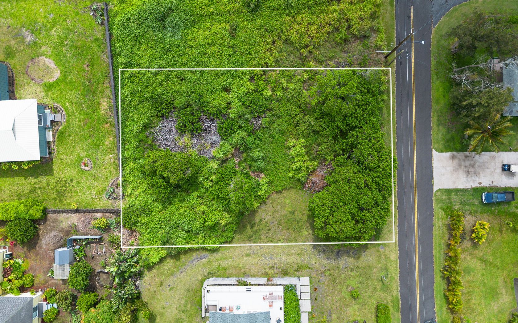
$1,995,000
Fee Simple
Active
0.23
acres
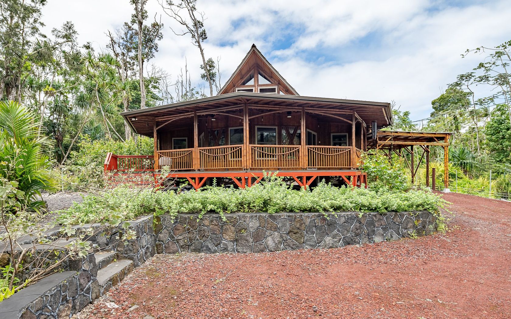
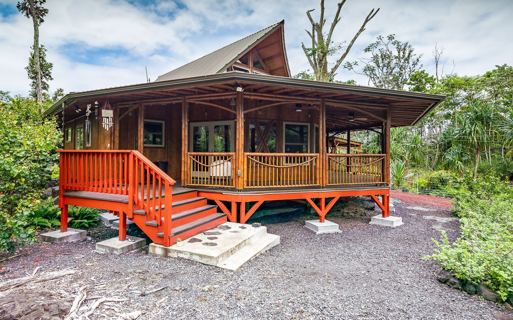
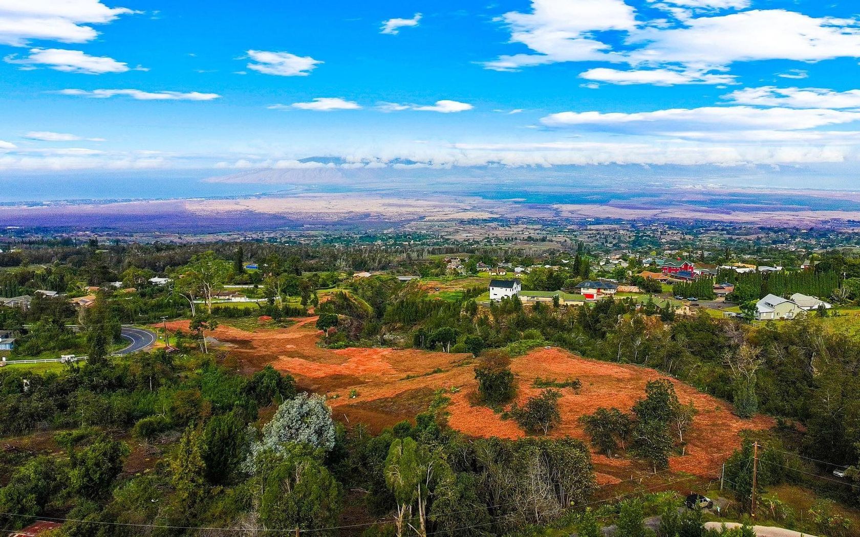
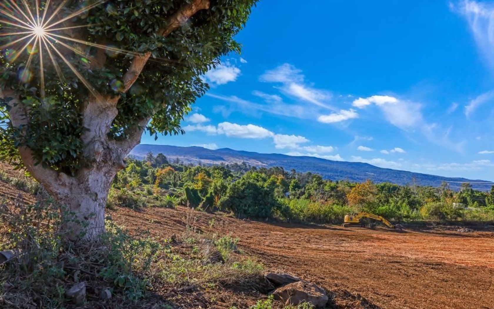
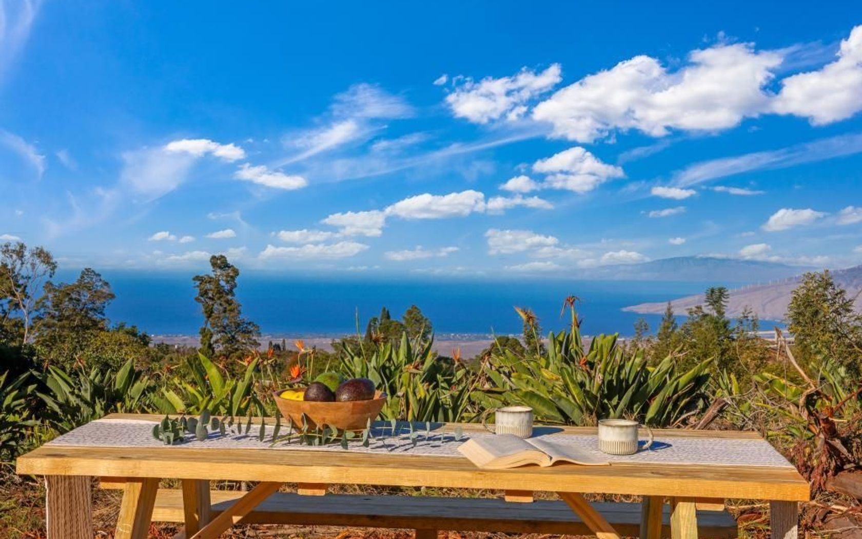
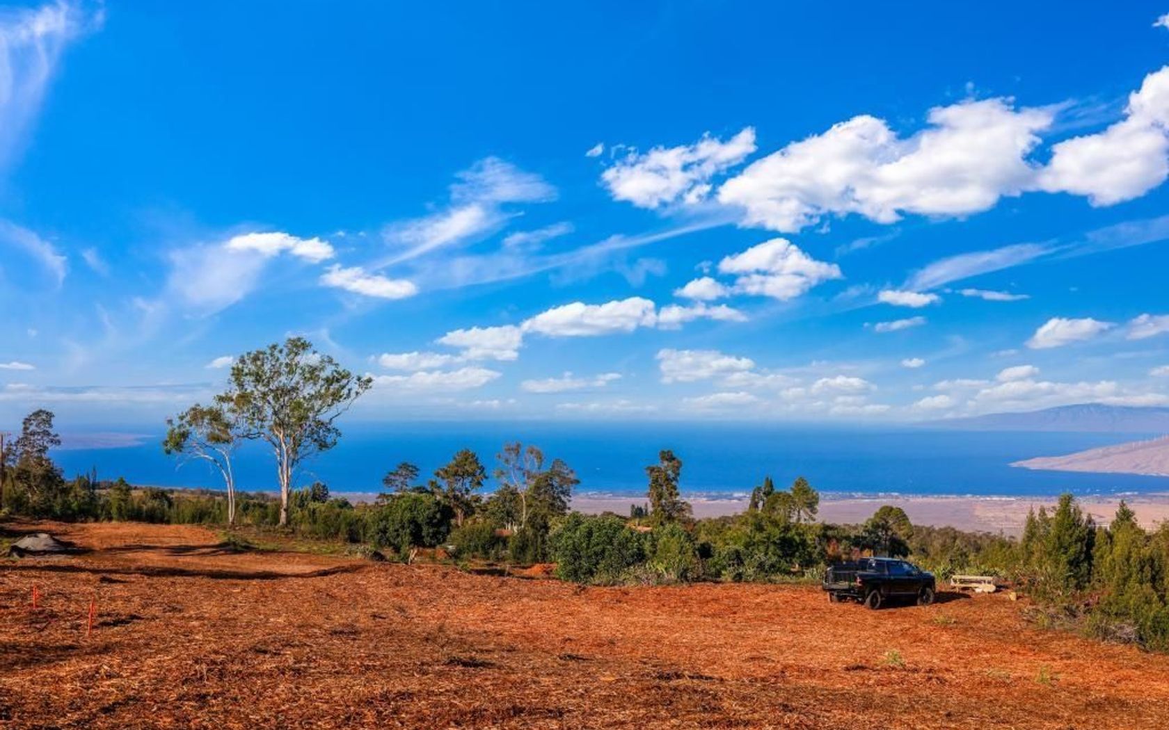
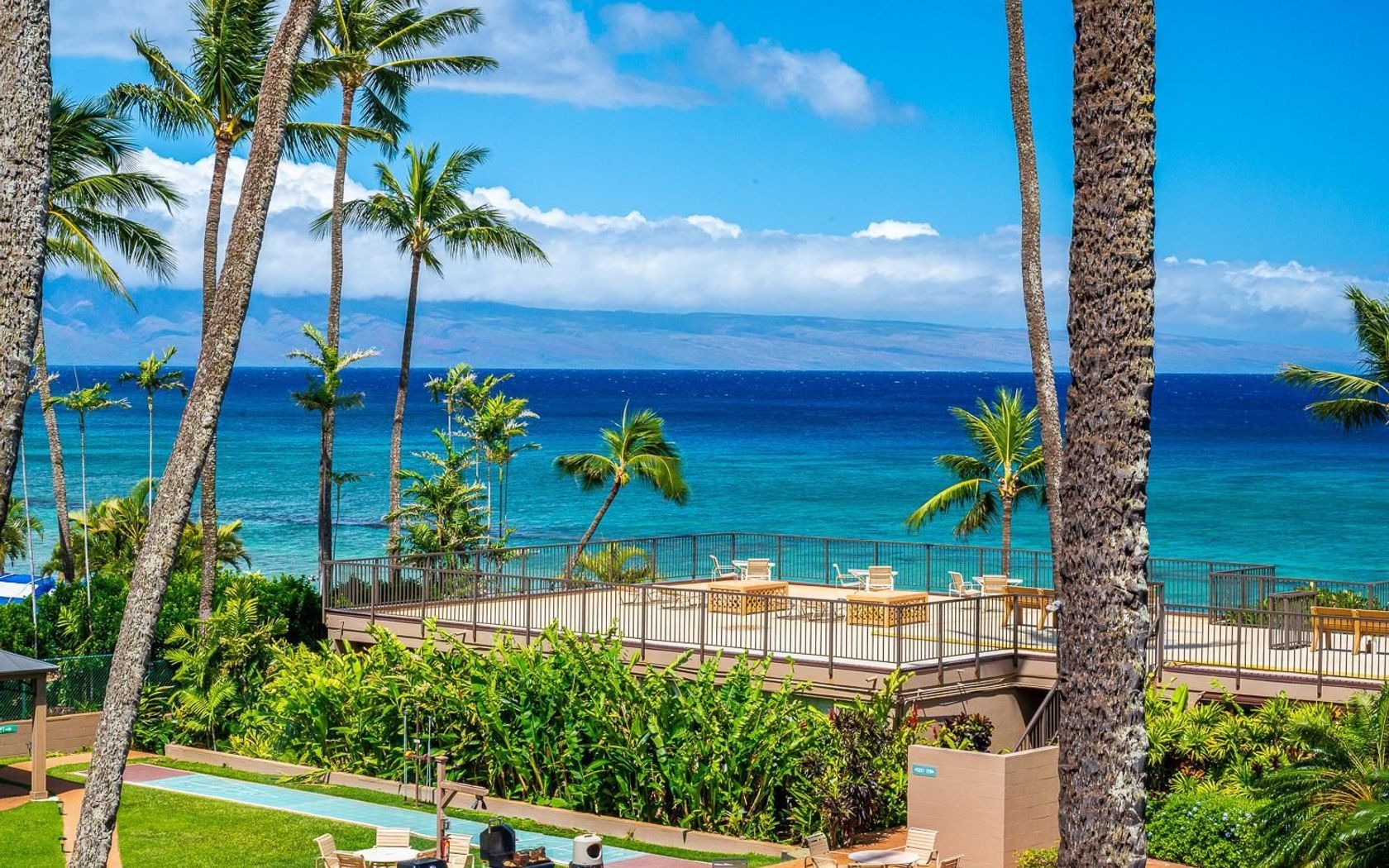
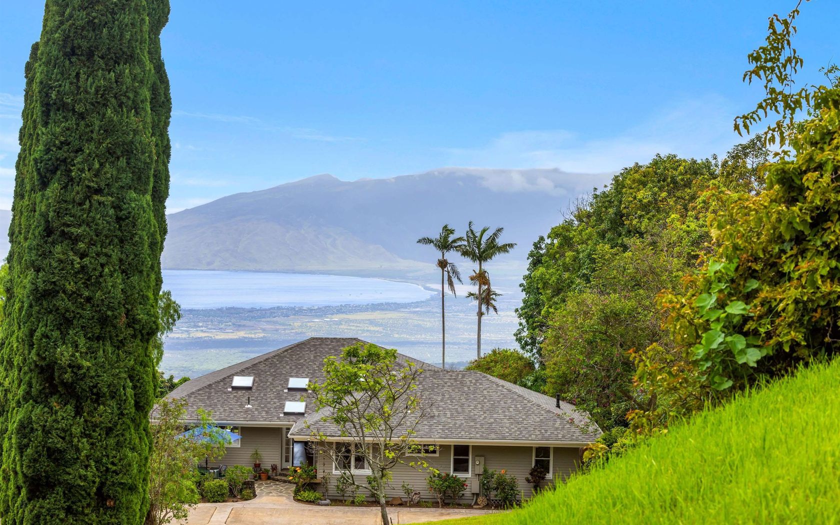
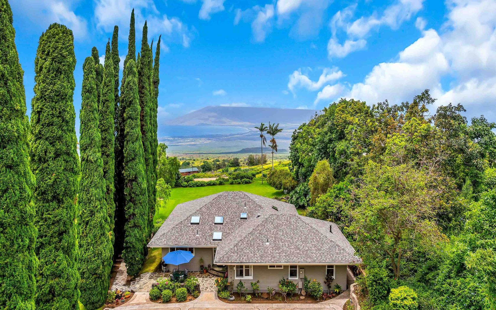
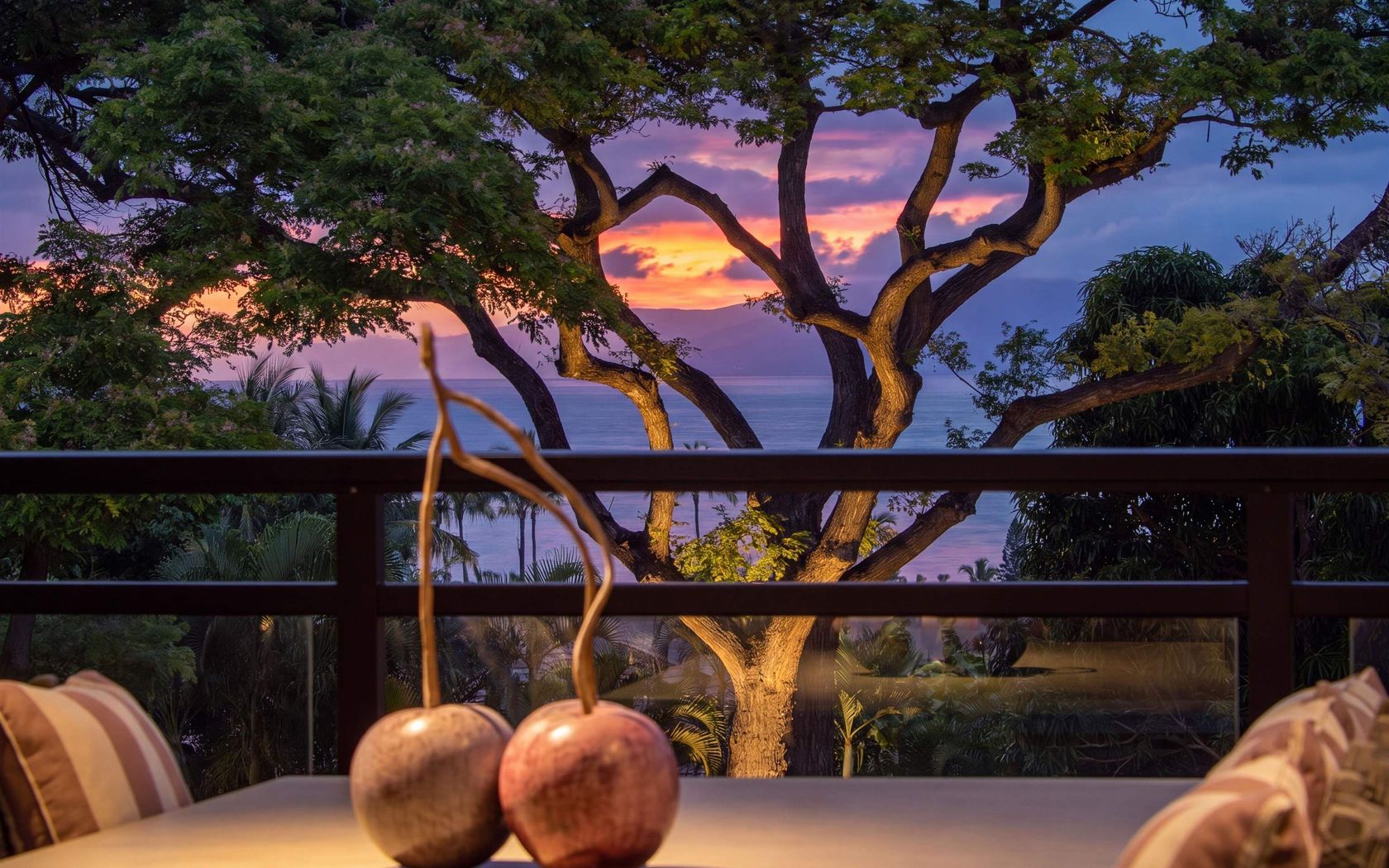
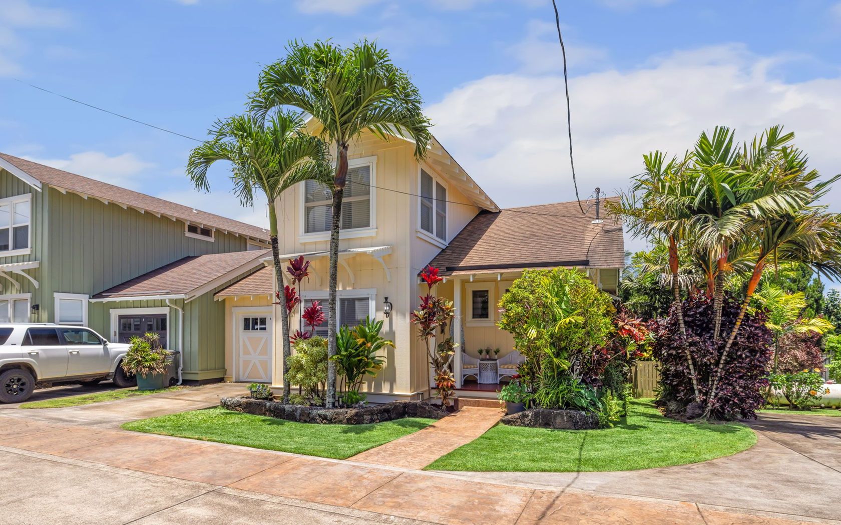
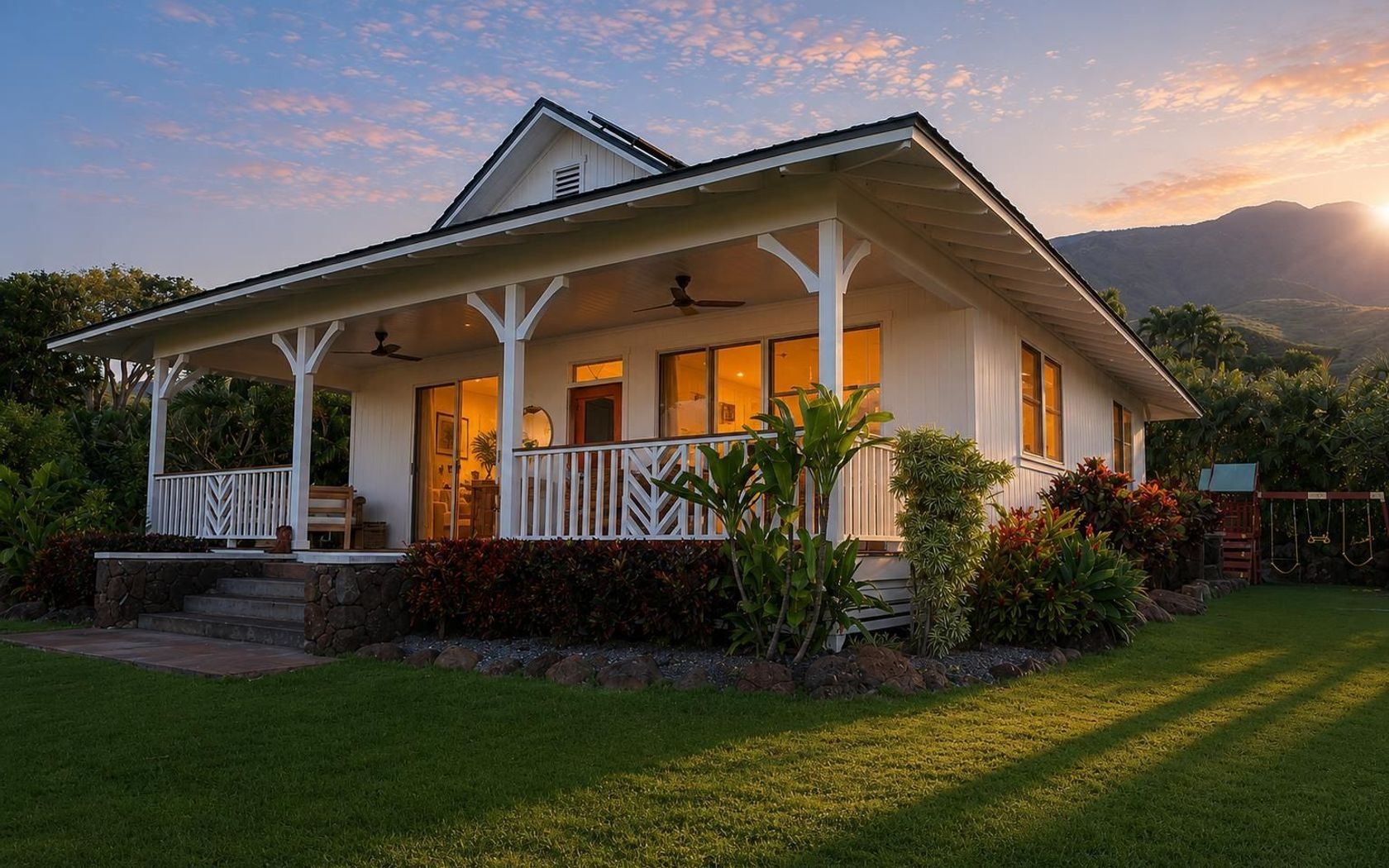
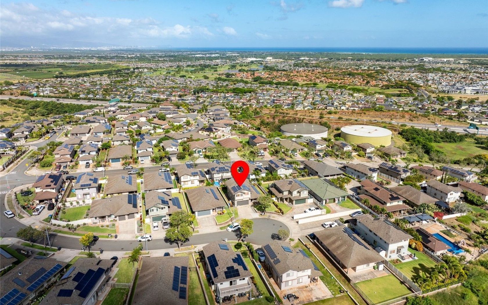
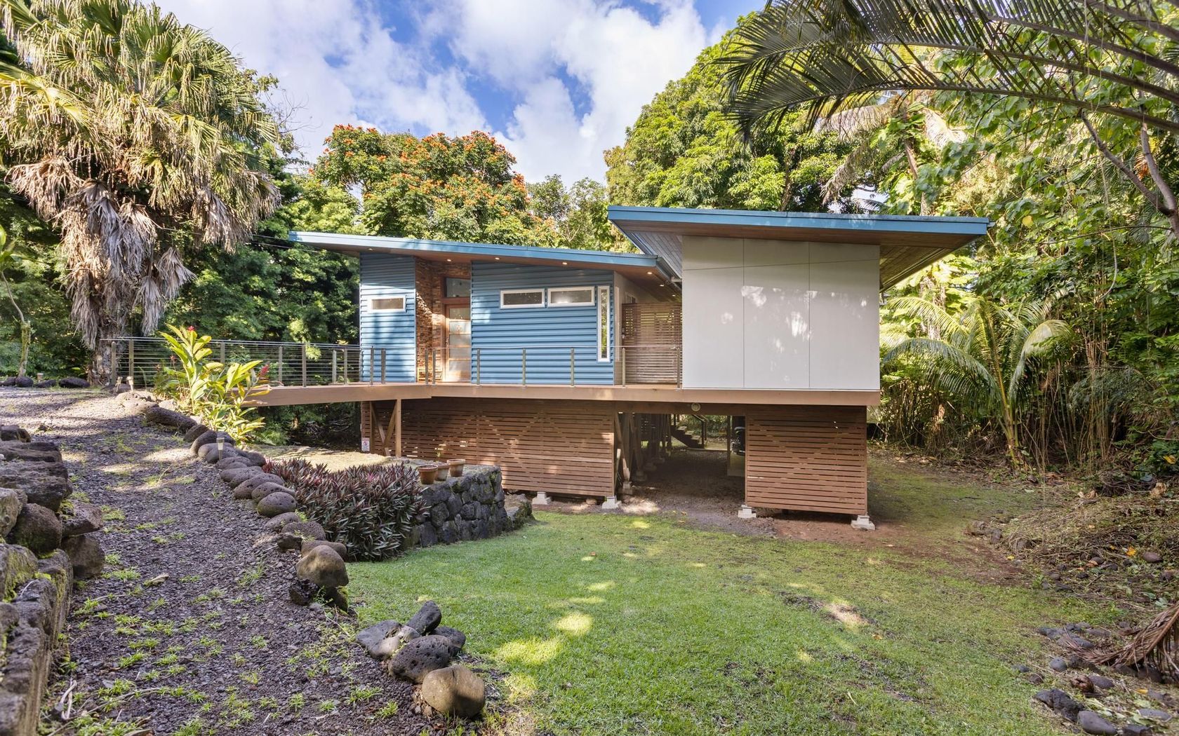
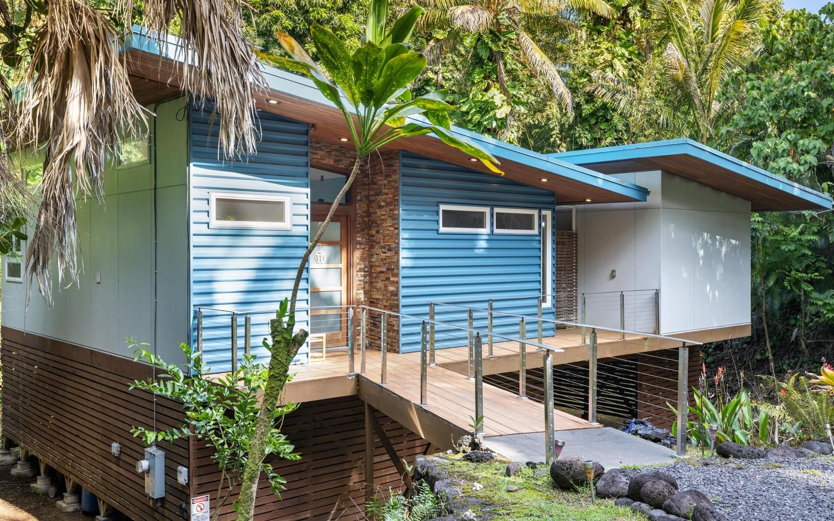
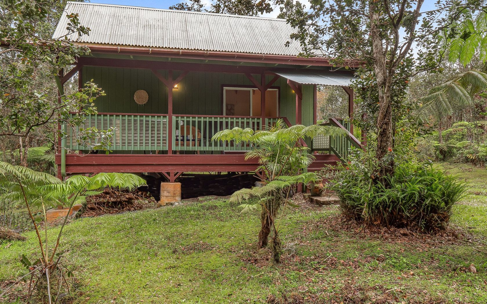
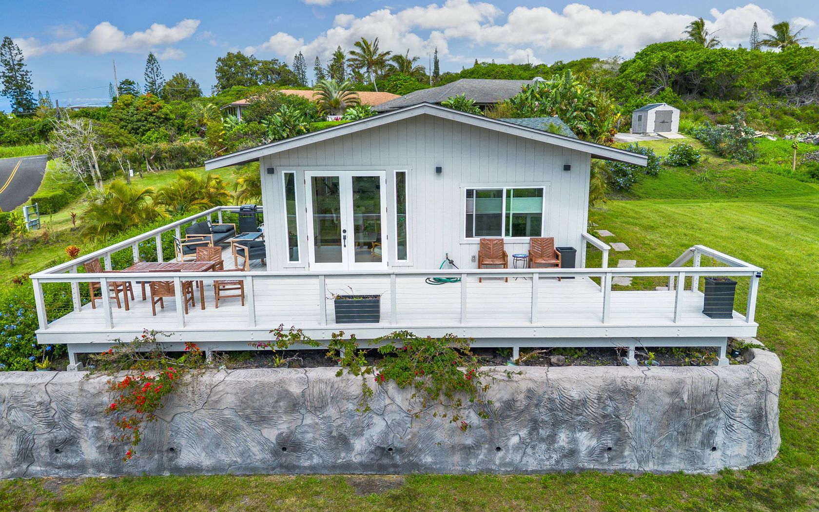
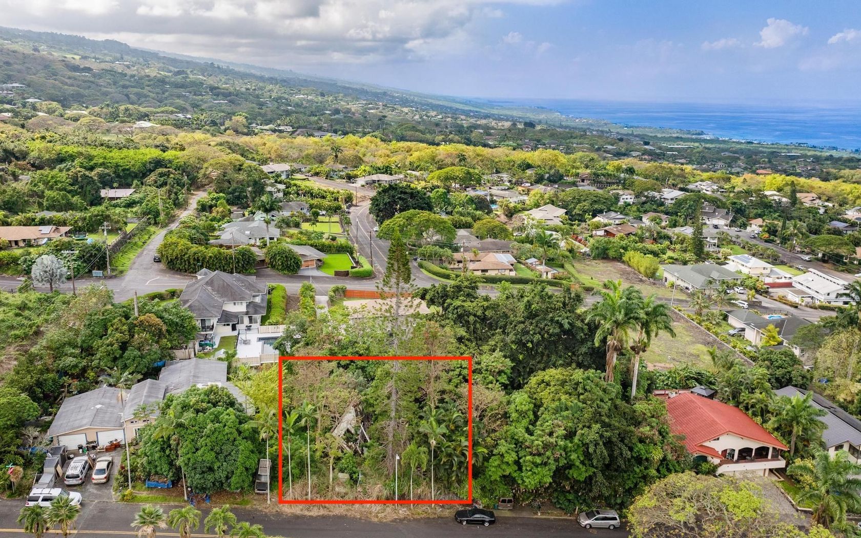
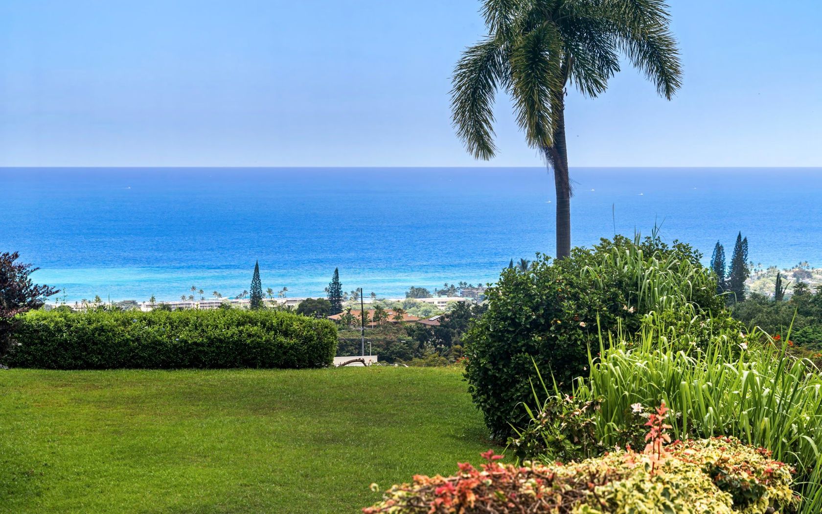
Land in Kihei Maui
Fresh on Market
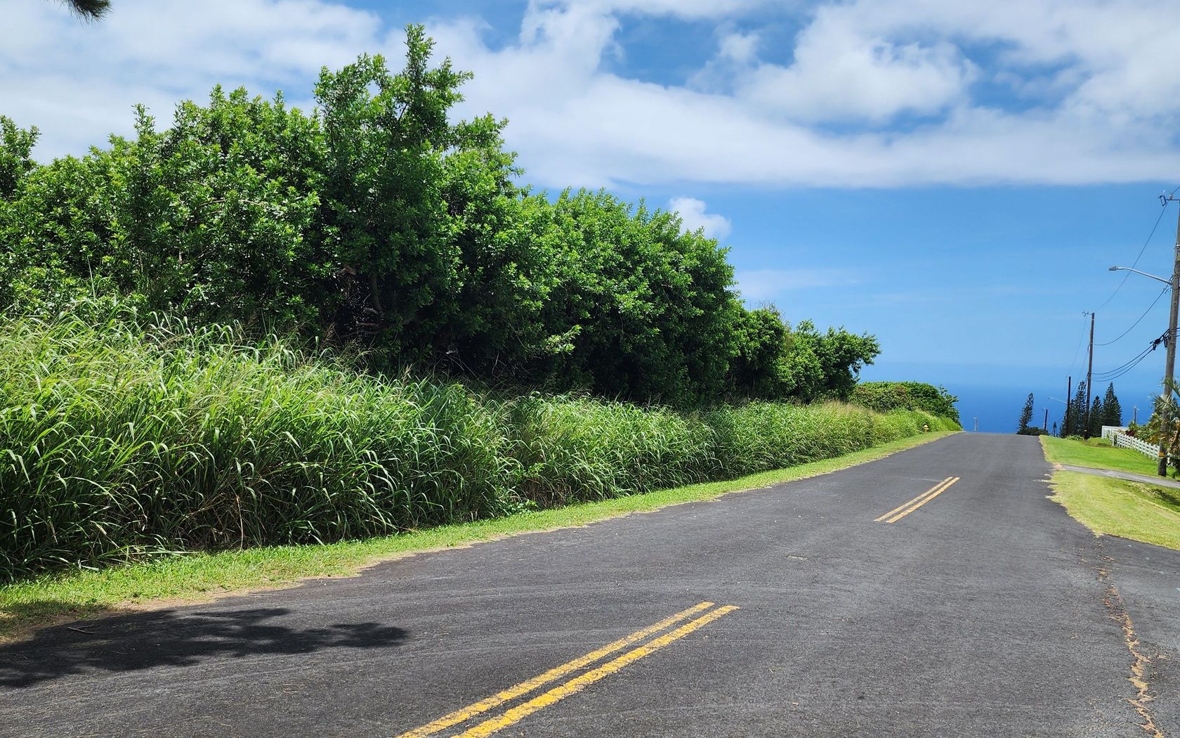
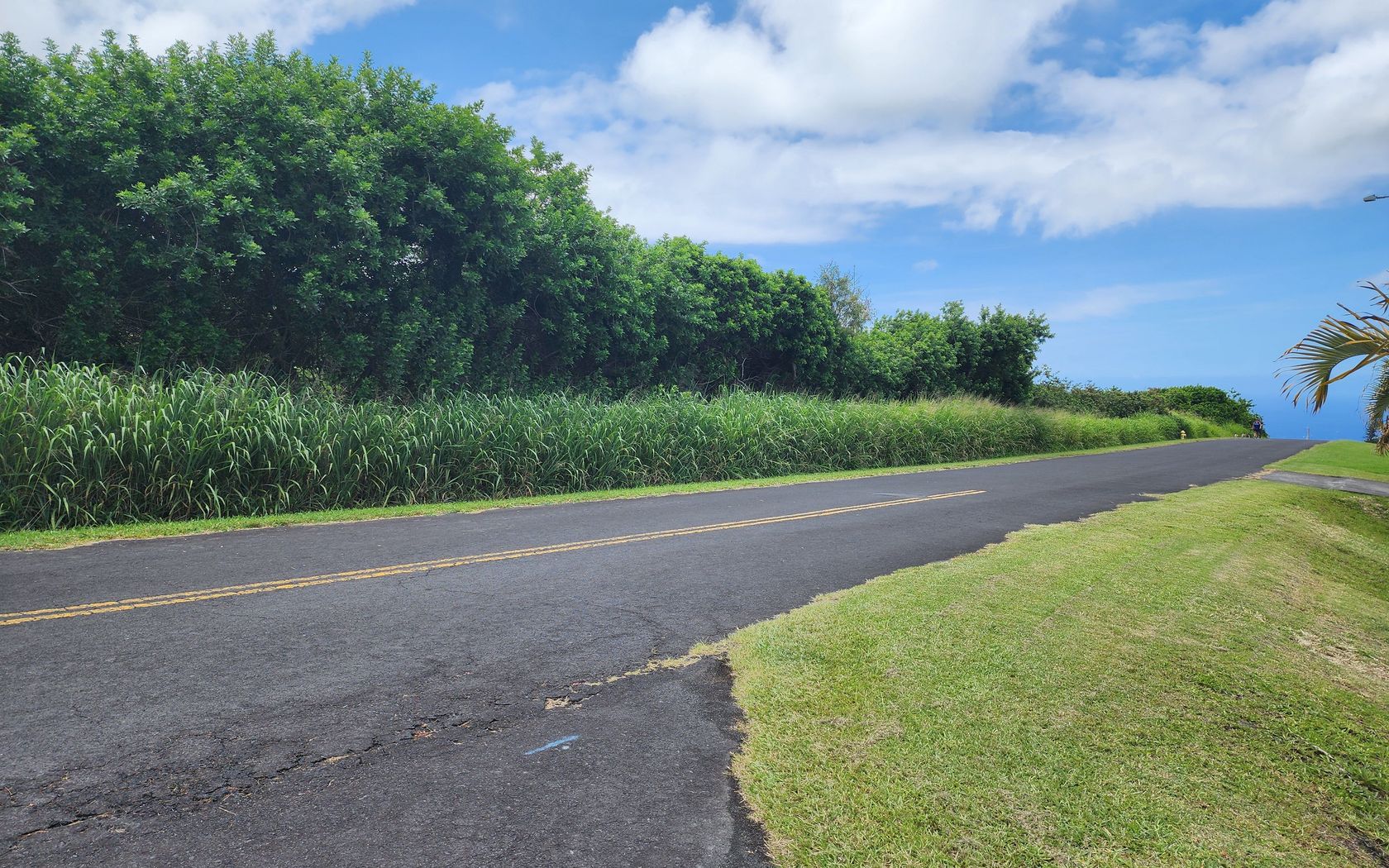
$2,500,000
Fee Simple
Active
3
bed
2
bath
2,834
sf
0.53
acres
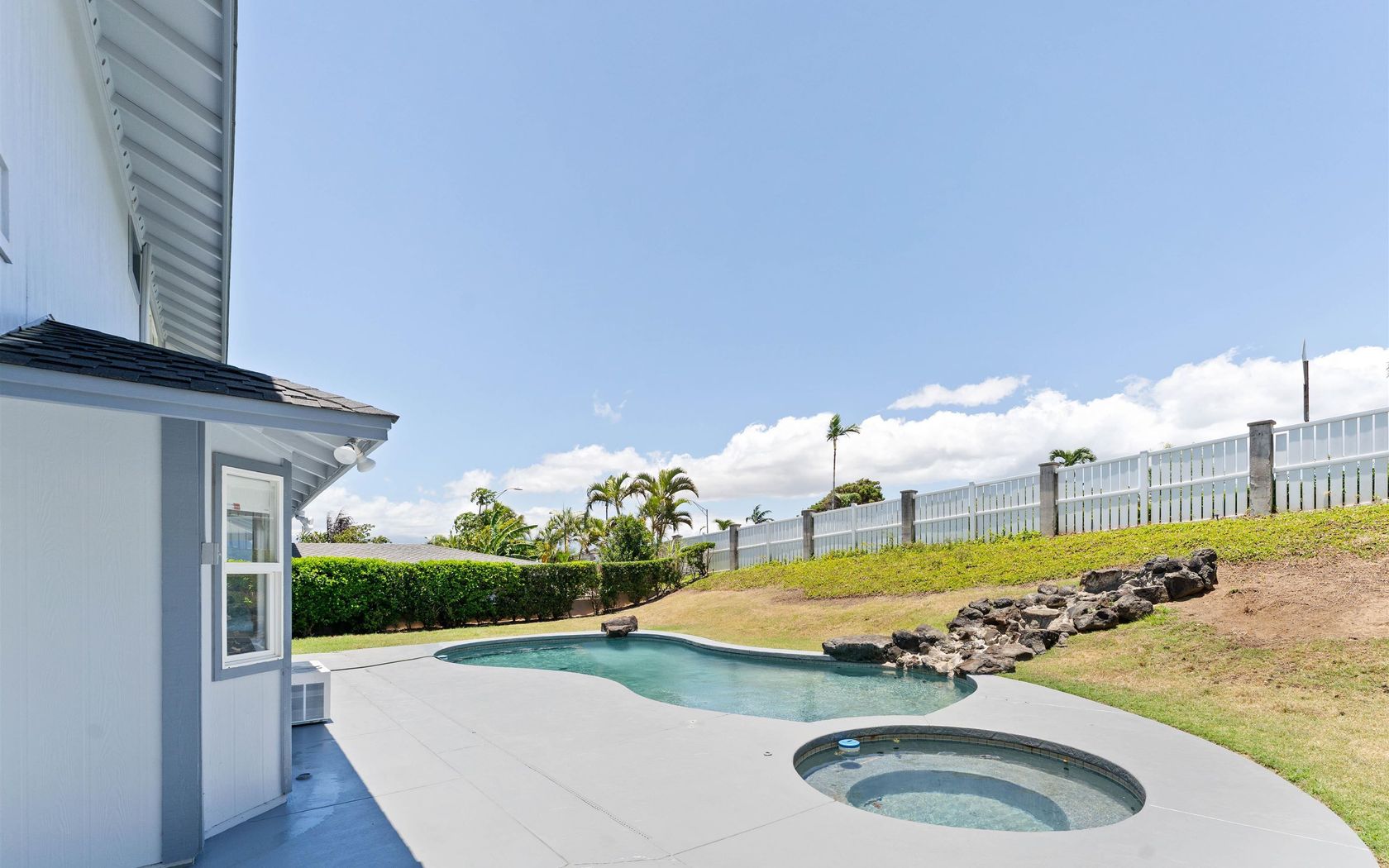
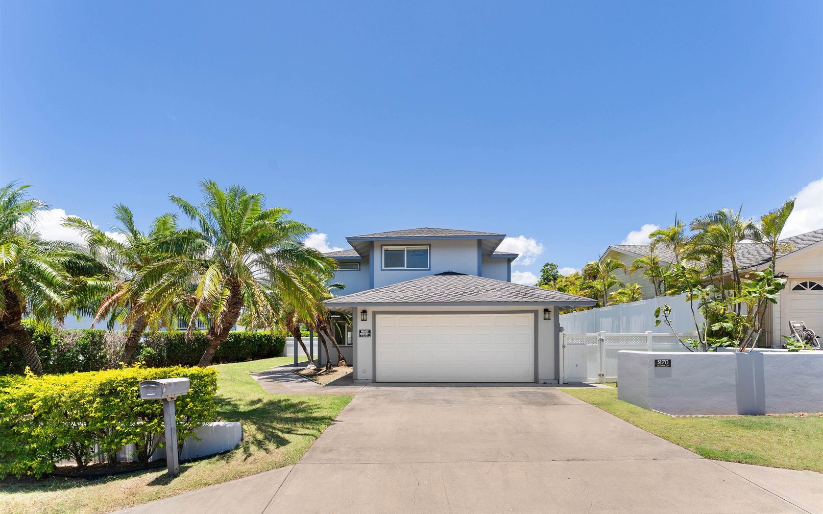
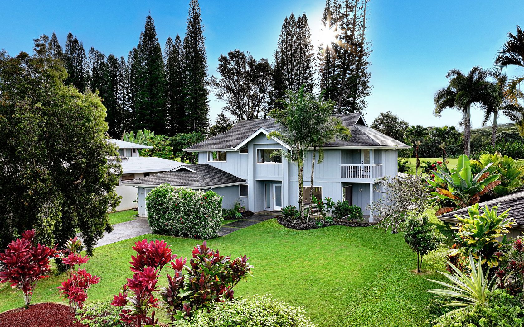
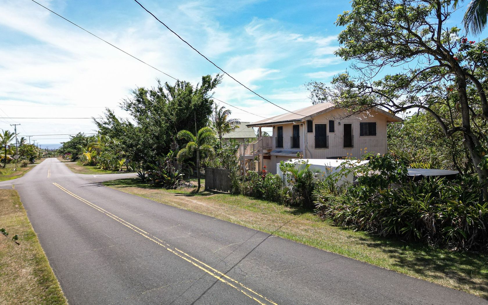
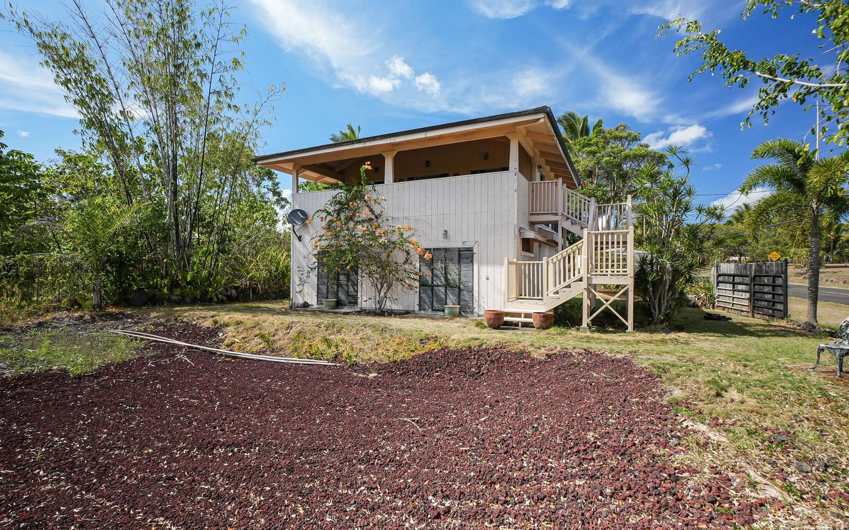
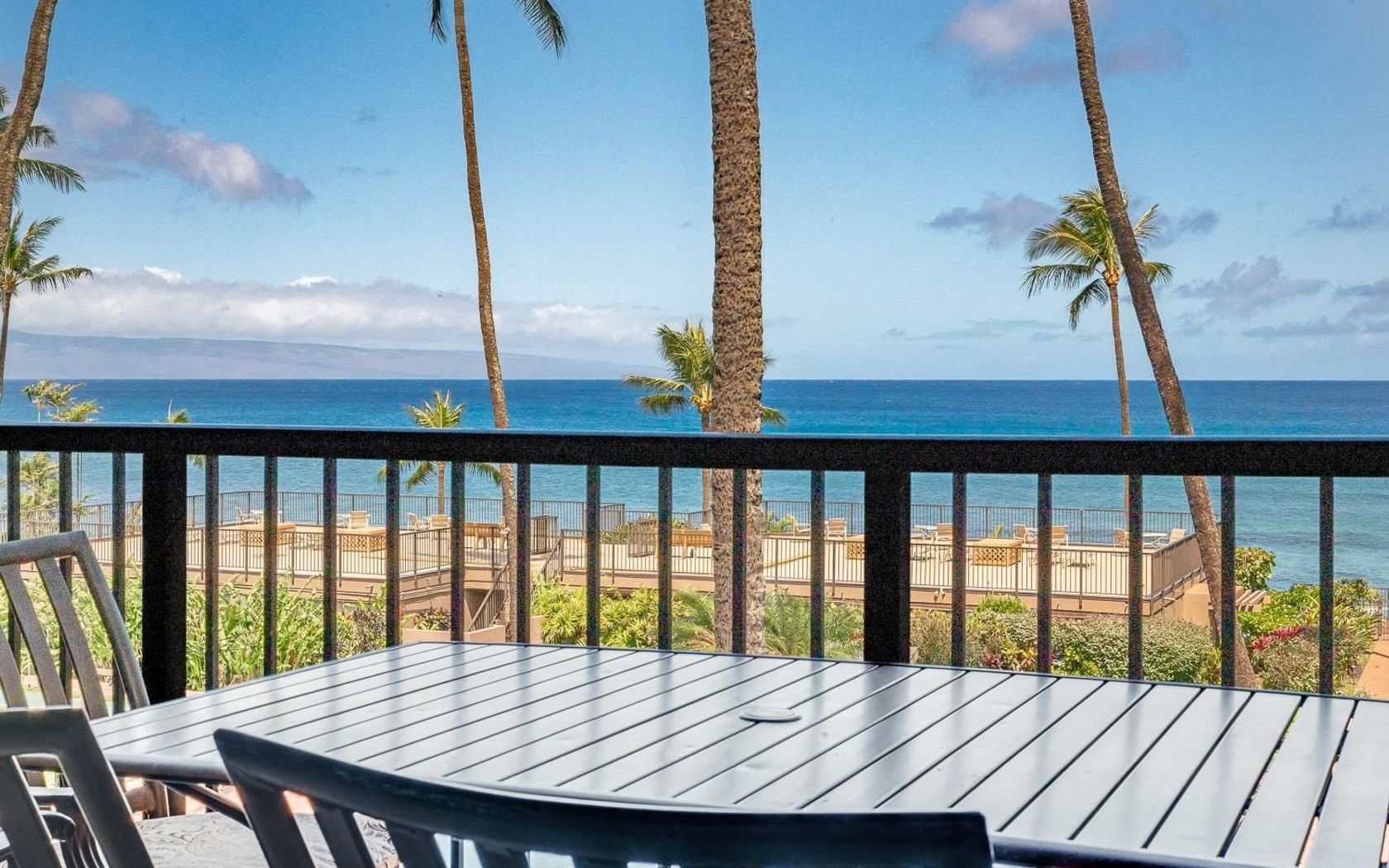
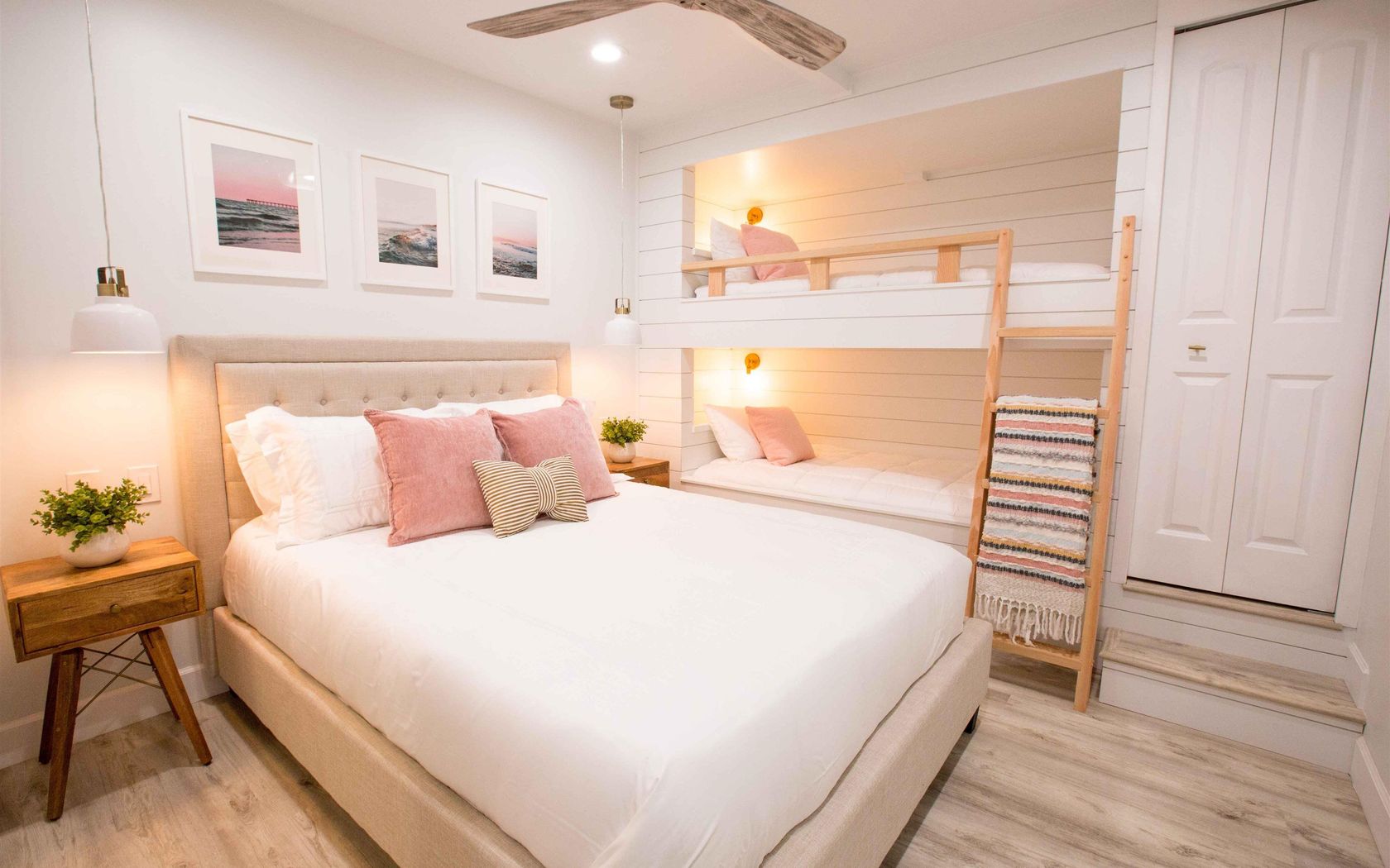
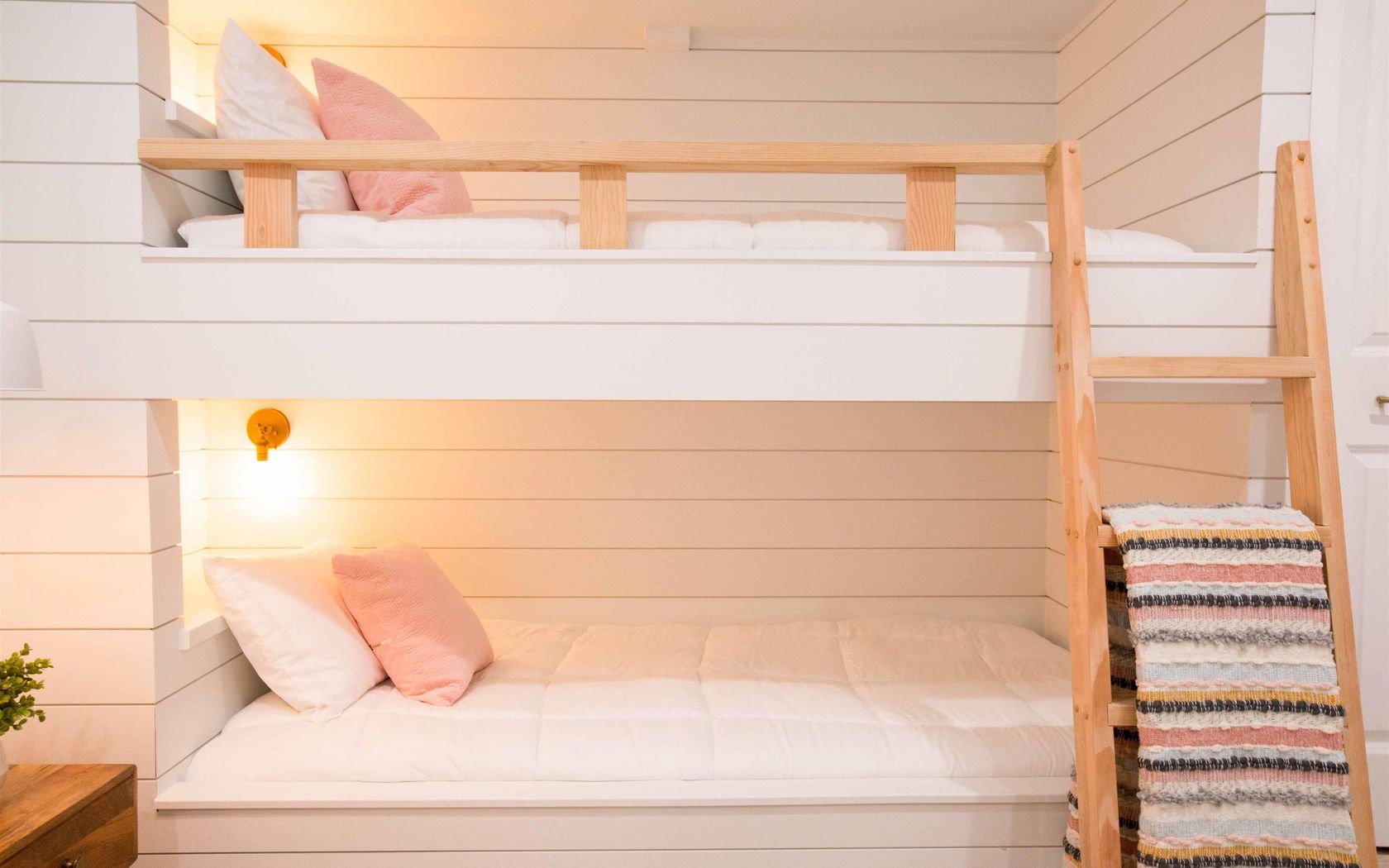
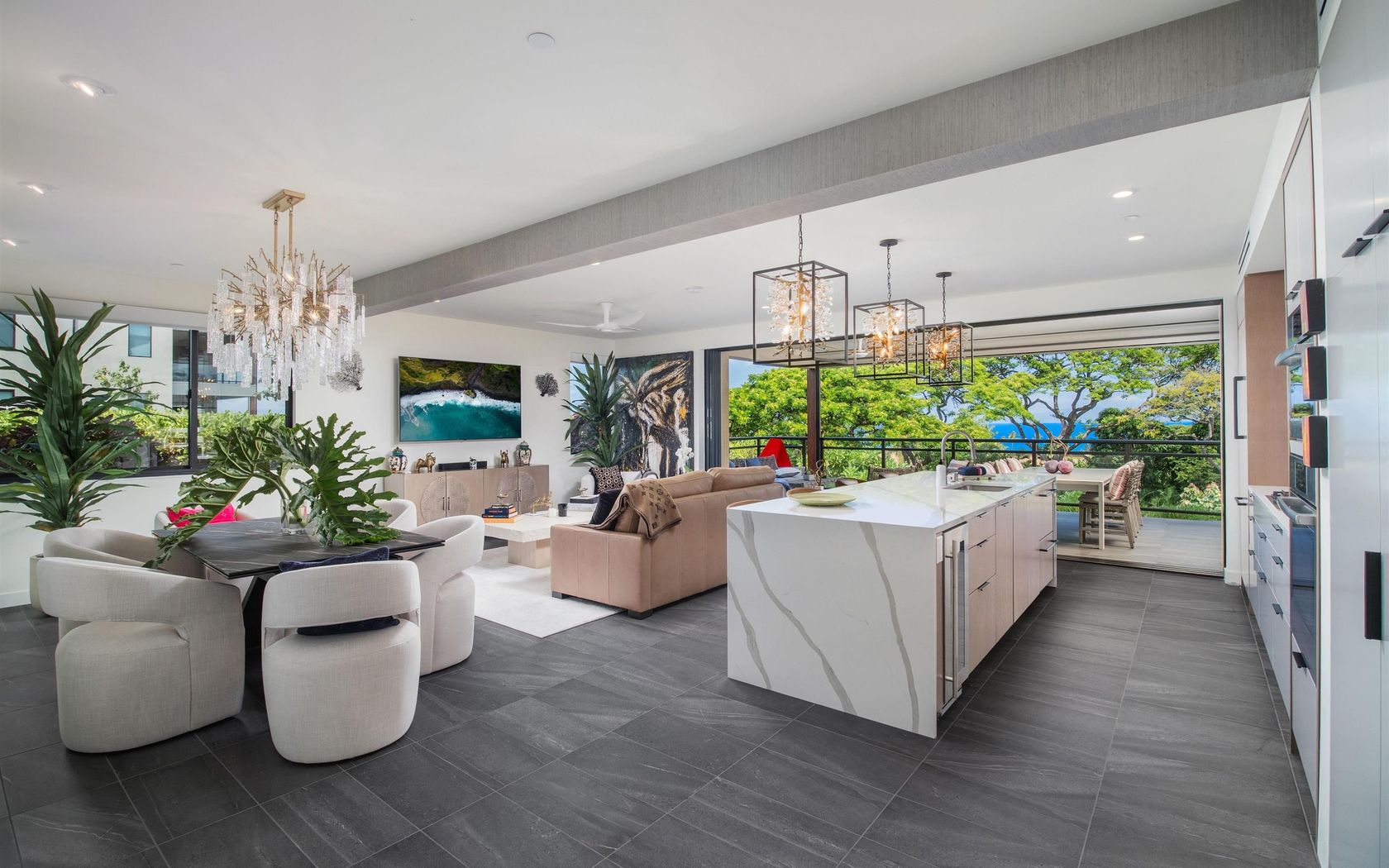
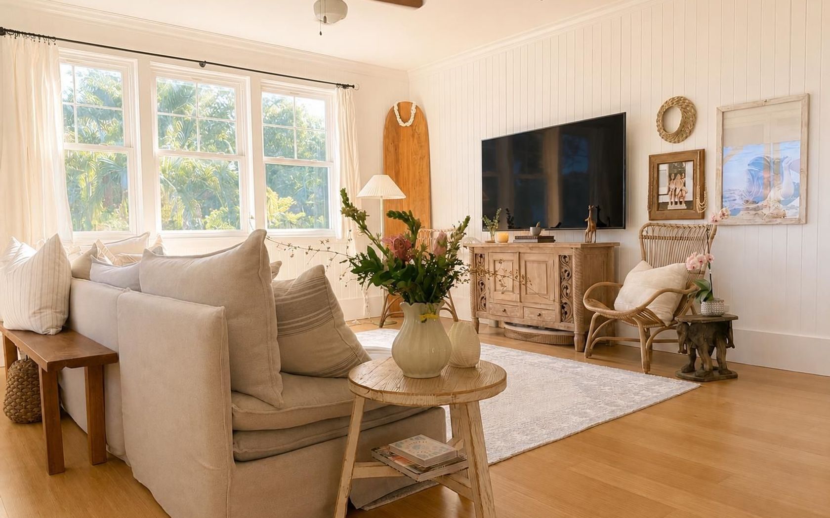
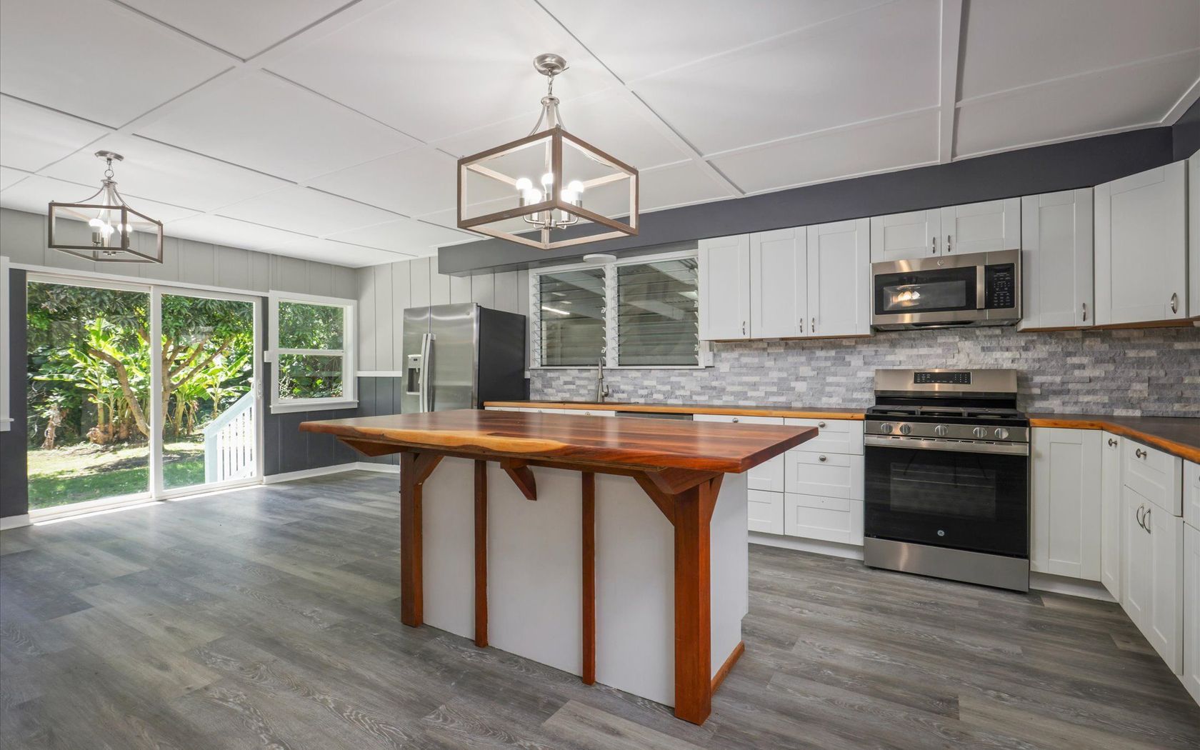
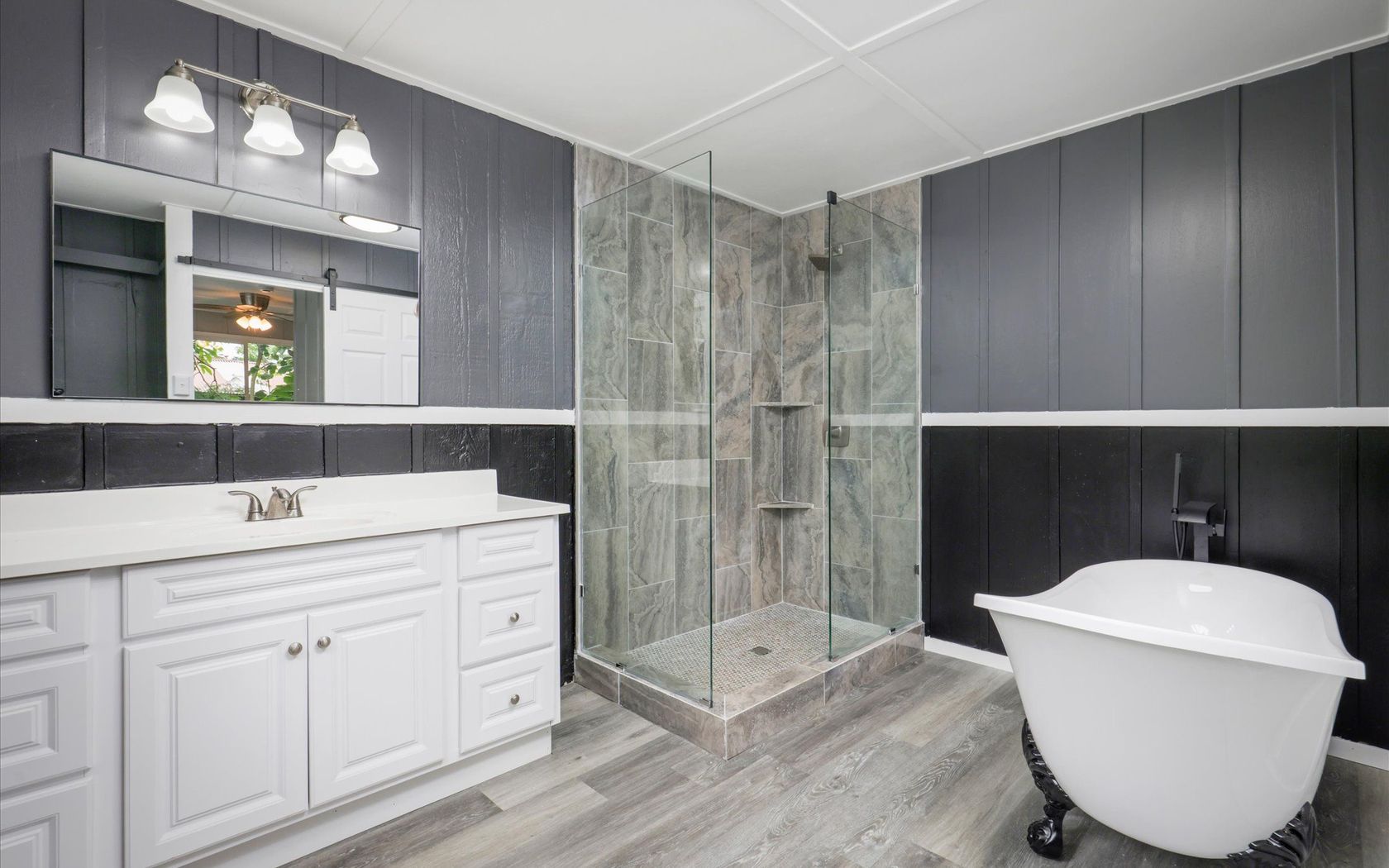
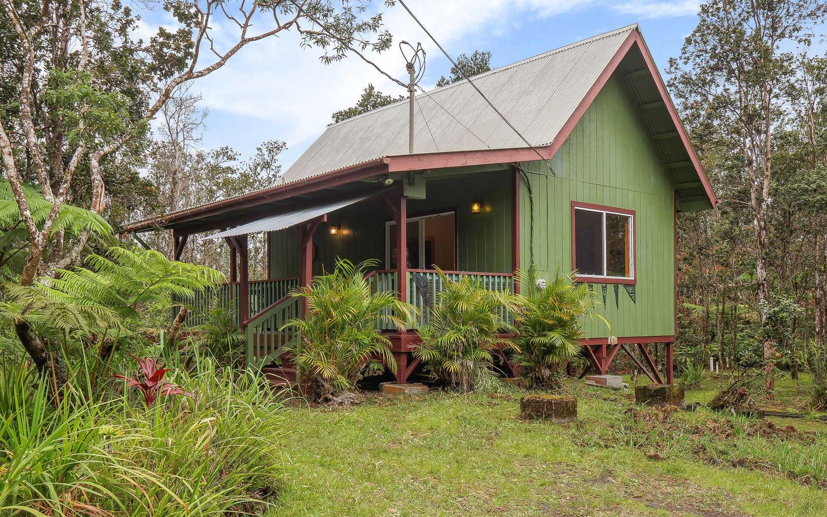
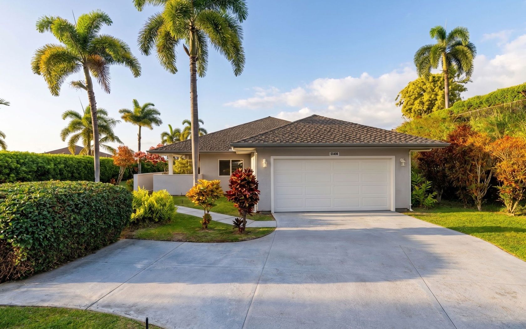
House in Maui Meadows in Kihei Maui
Fresh on Market
1 day ago
$2,125,000
Fee Simple
Active
5
bed
4
bath
2,772
sf
0.50
acres
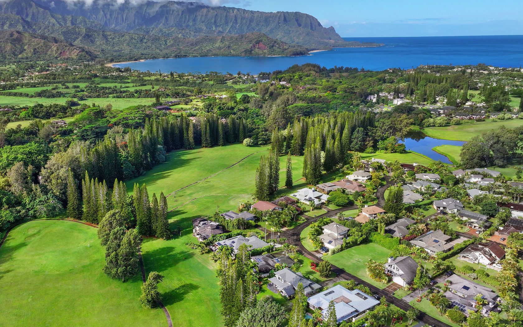
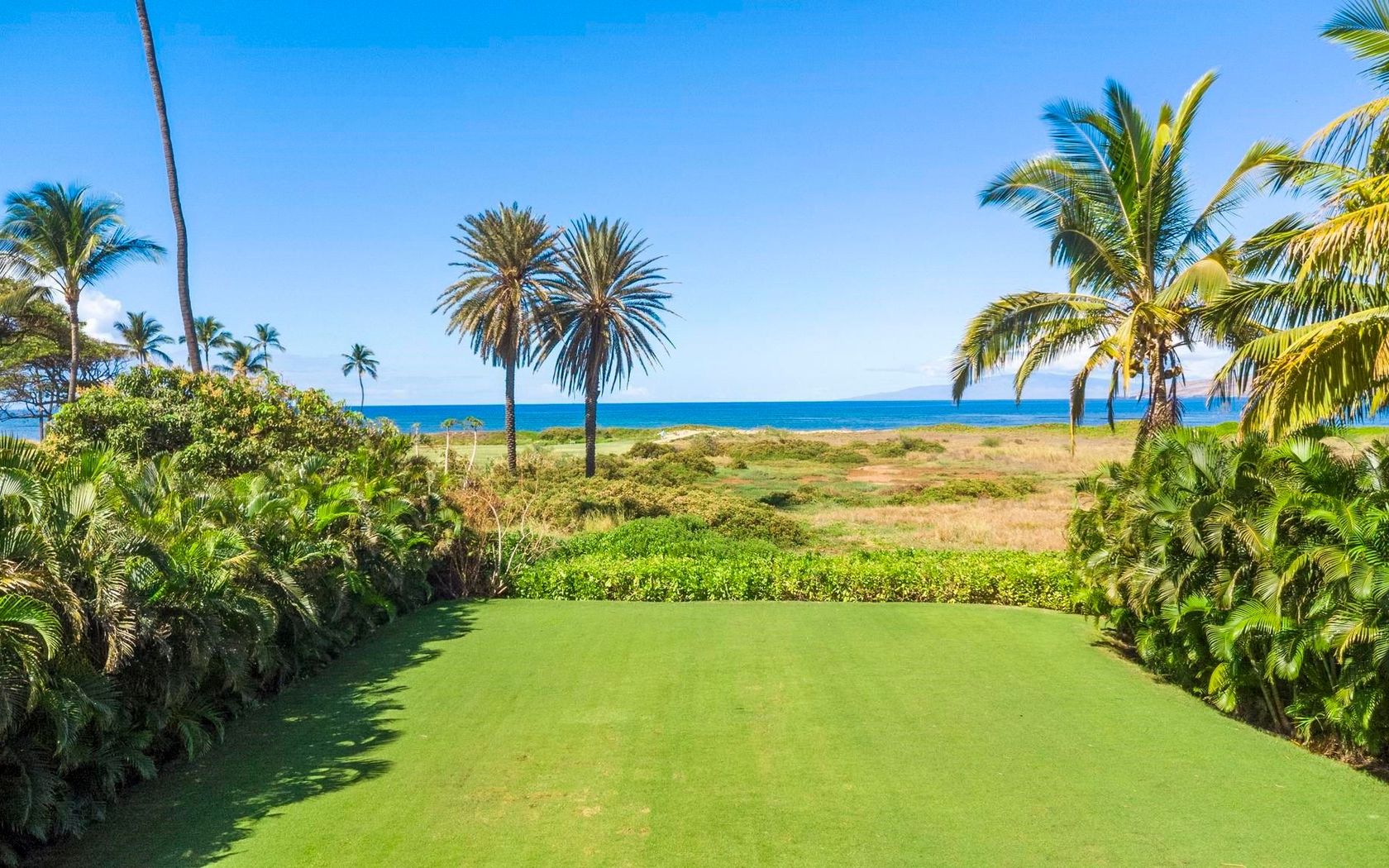
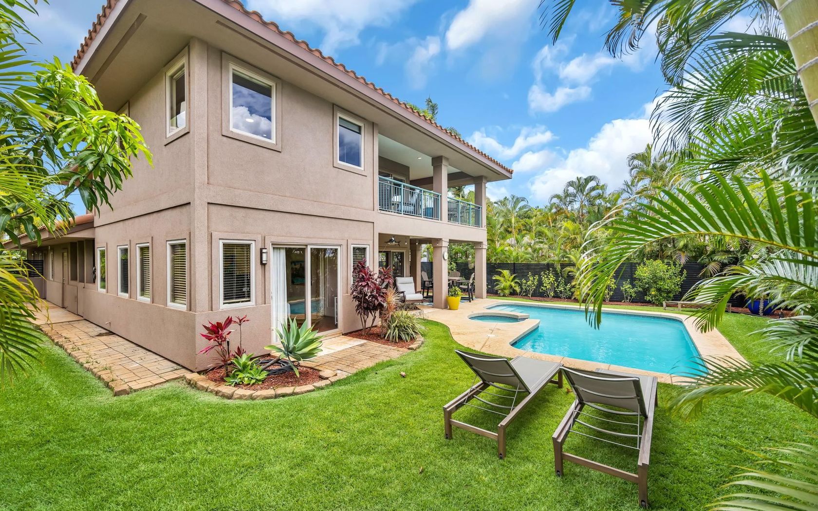
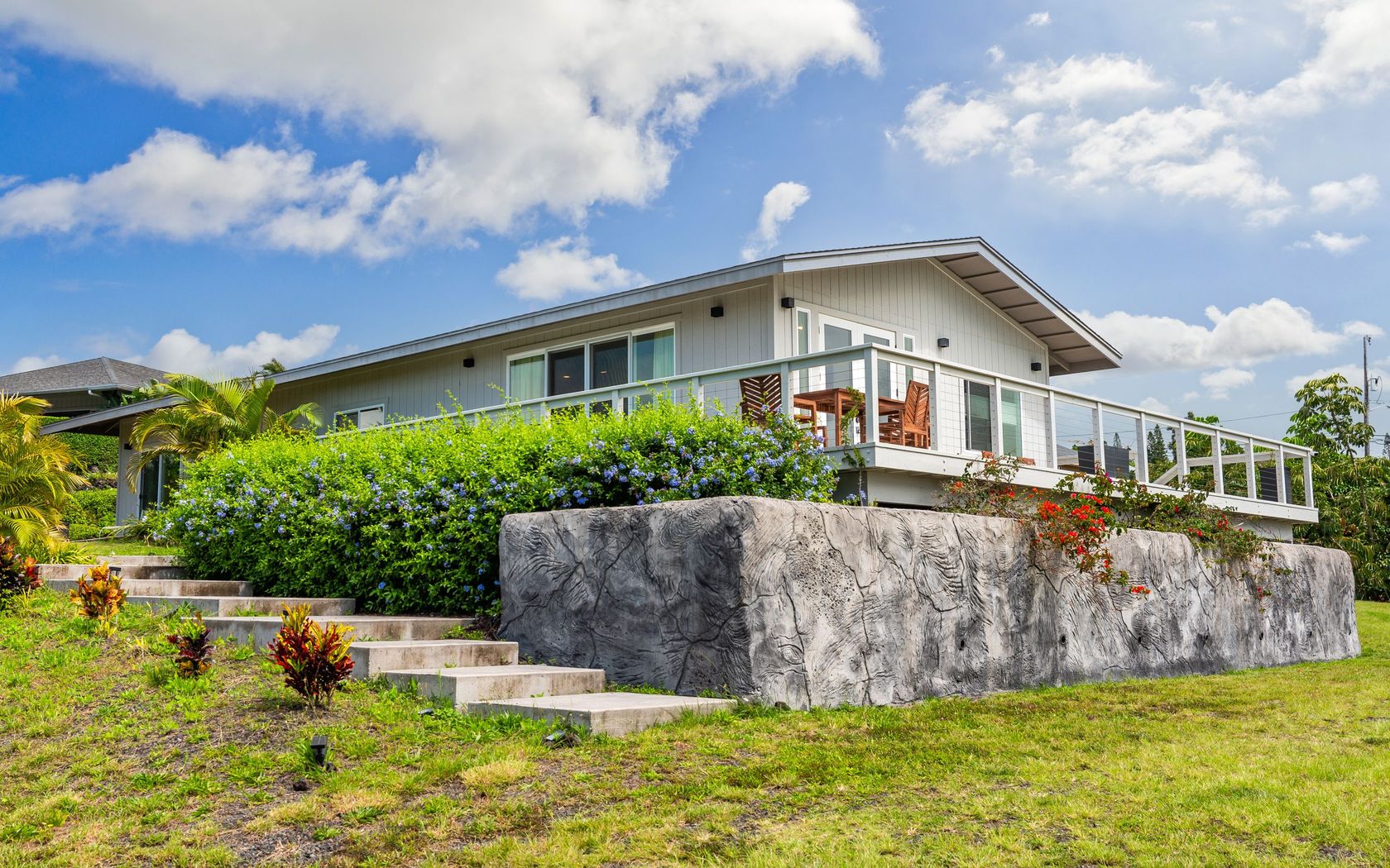
House in Omao Kauai
Fresh on Market
2 days ago
$1,185,000
Fee Simple
Active
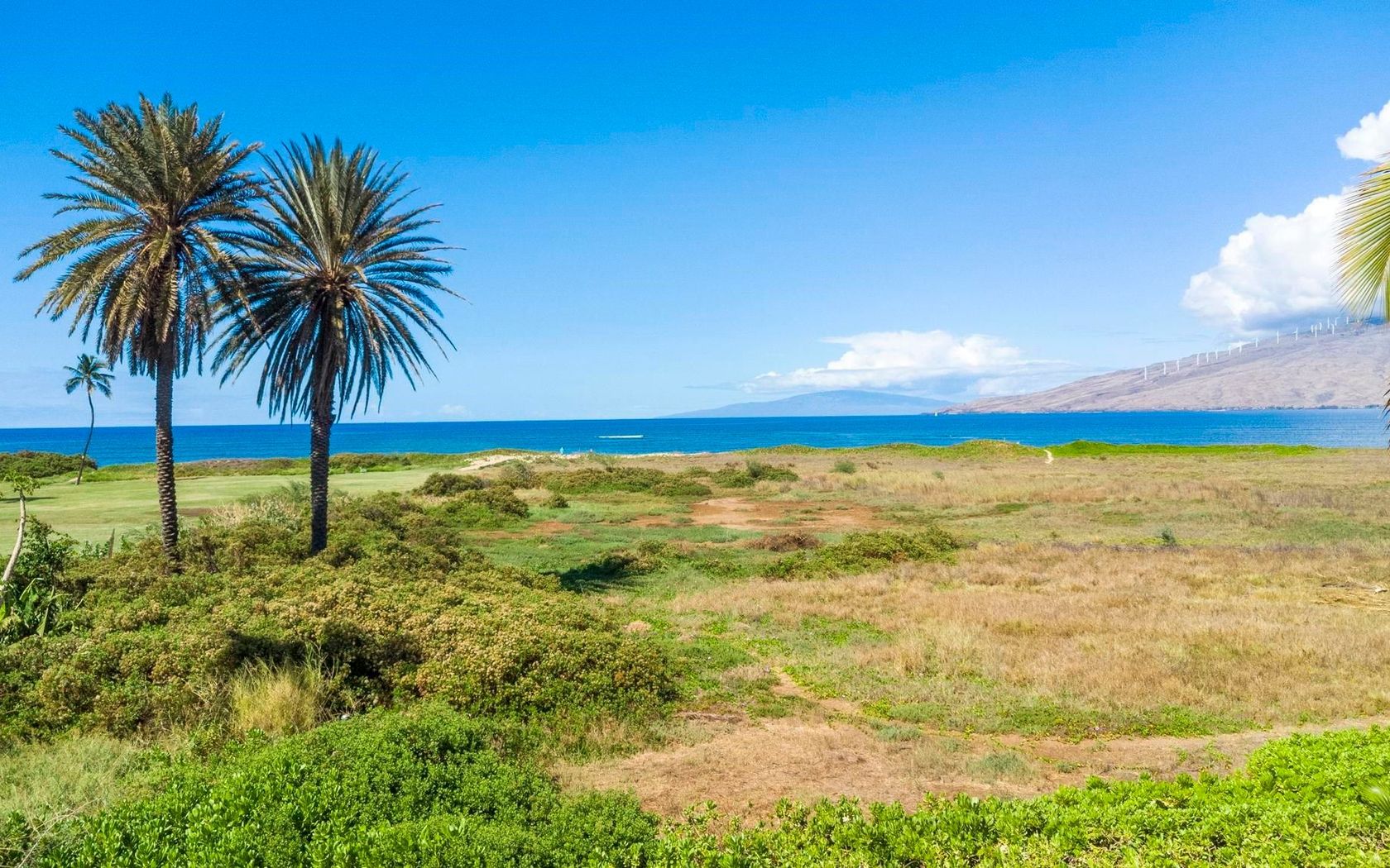
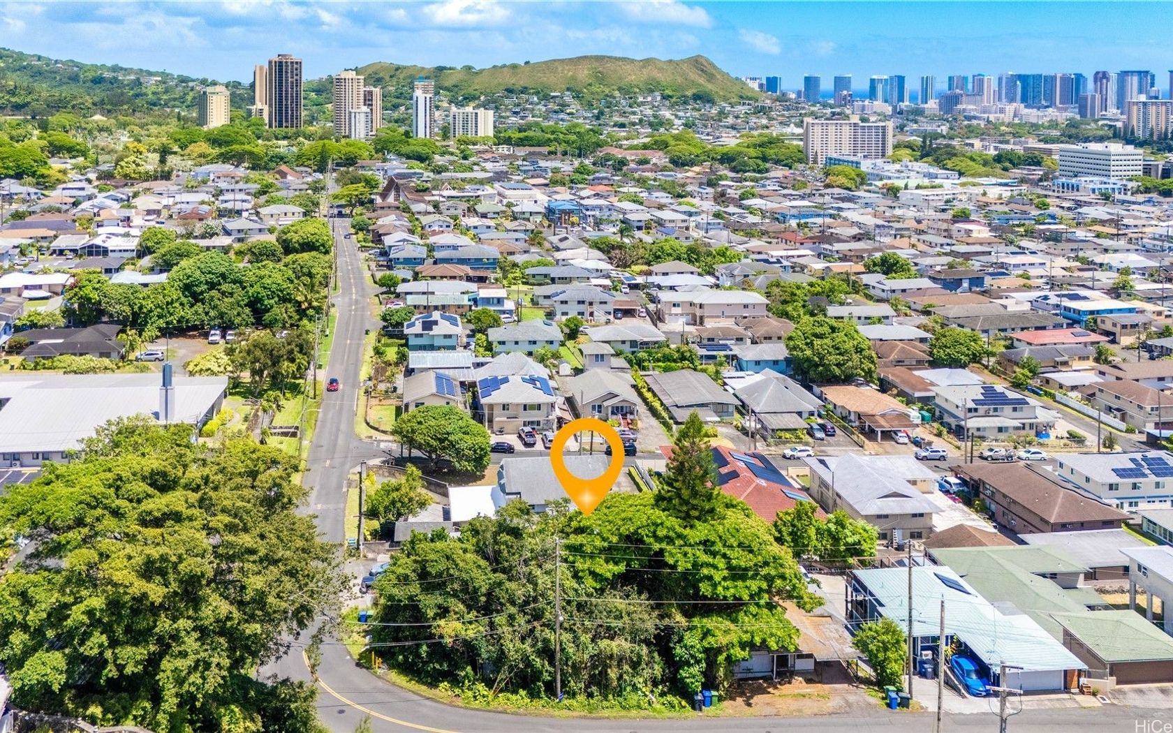
Land in Nuuanu Punchbowl Oahu
Fresh on Market
2 days ago
$1,185,000
Fee Simple
Active
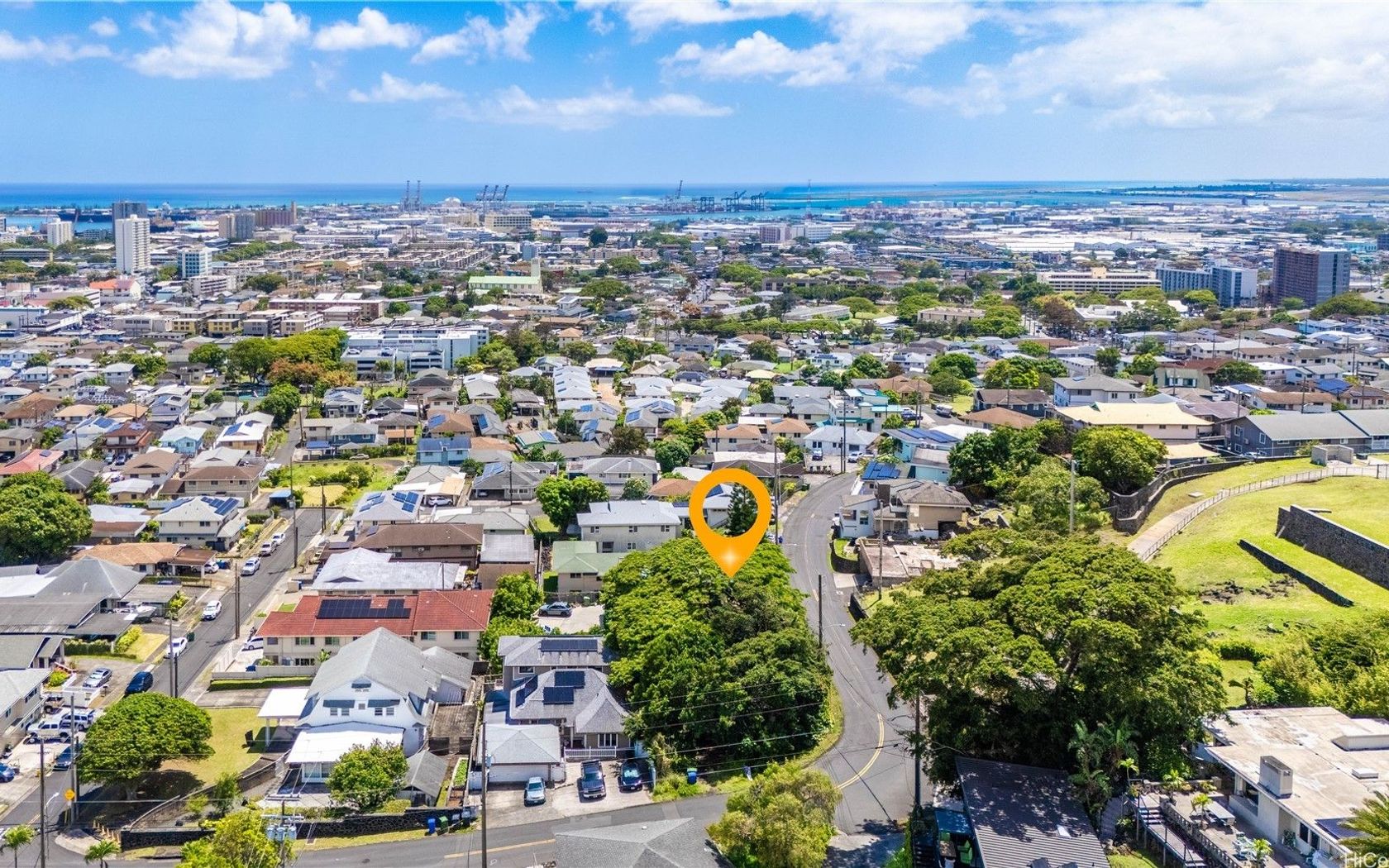
House in Nuuanu Punchbowl Oahu
Fresh on Market
2 days ago
$389,000
Fee Simple
Active
0.26
acres
Land in Kalaheo Kauai
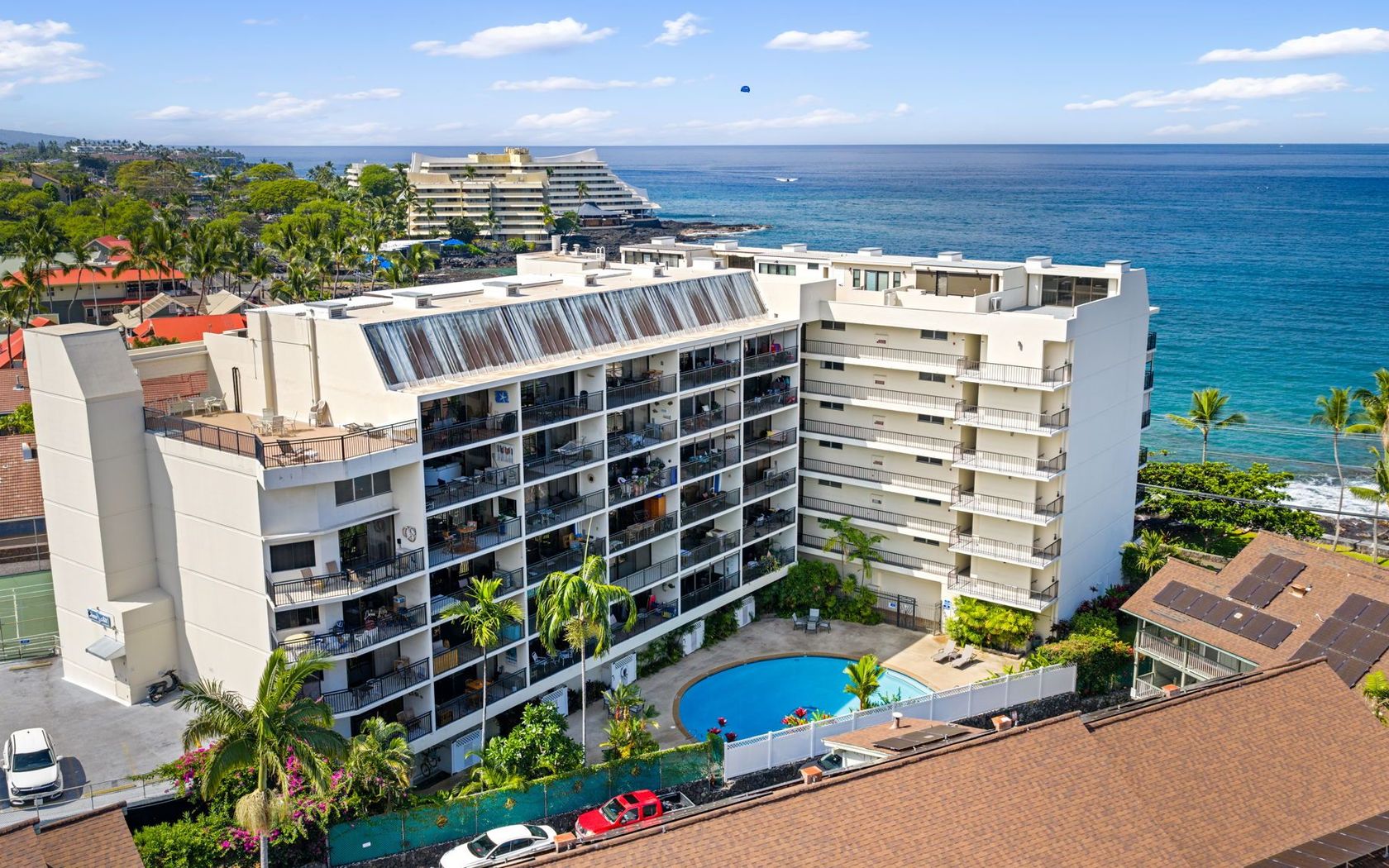
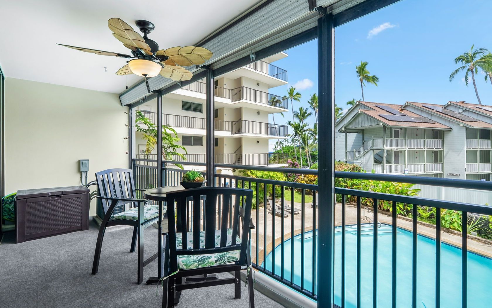
$575,000
Fee Simple
Active
1
bed
1
bath
874
sf
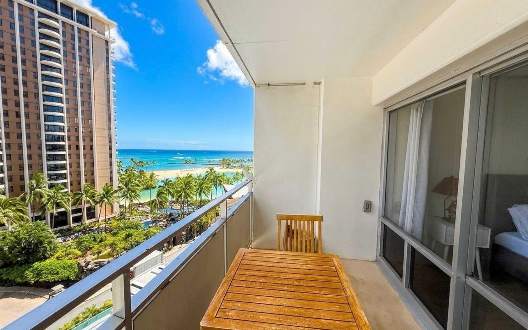
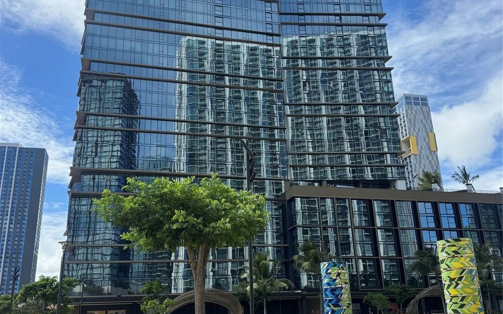
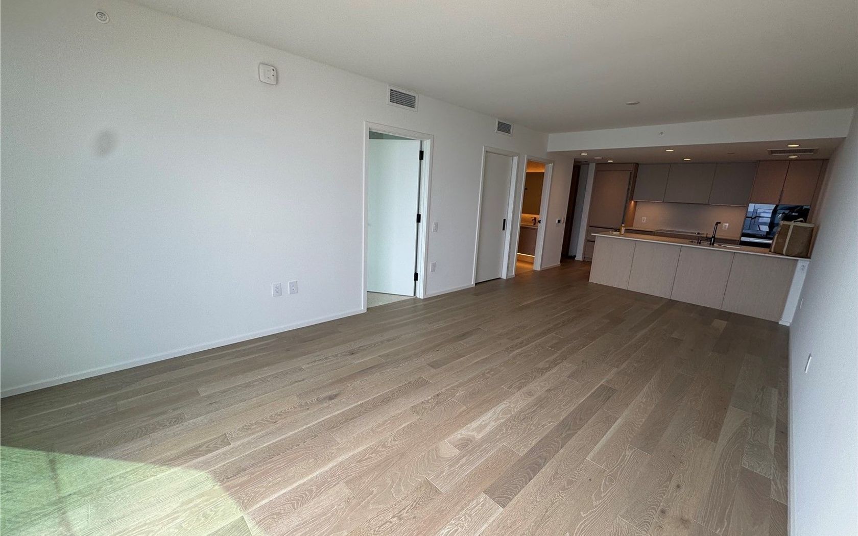
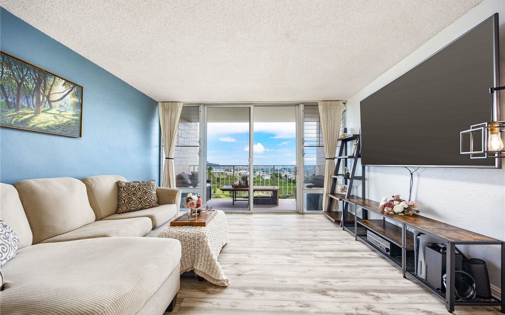
Condo in Esplanade in Spinnaker Isle Oahu
$1,299,000
Fee Simple
Active
4
bed
3
bath
1,774
sf
0.11
acres
House in Waikapu in Wailuku Maui
Fresh on Market
$1,450,000
Fee Simple
Active
3
bed
2.5
bath
1,715
sf
0.18
acres
House in Grand Fairways at Maui Lani in Kahului Maui
Fresh on Market
$264,000
Fee Simple
Active
0.17
acres
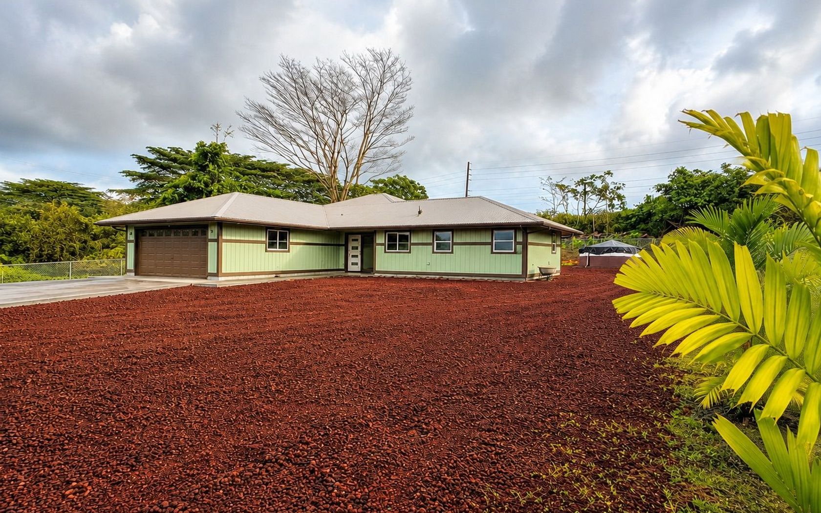
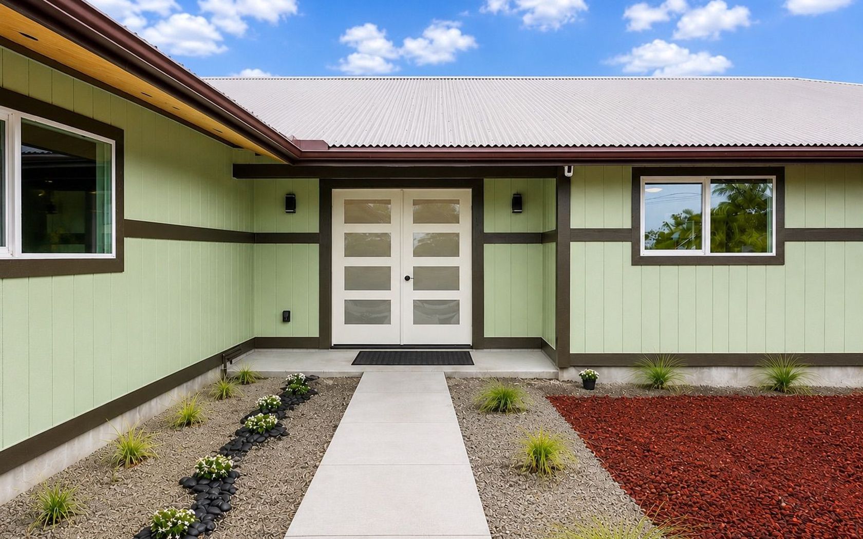
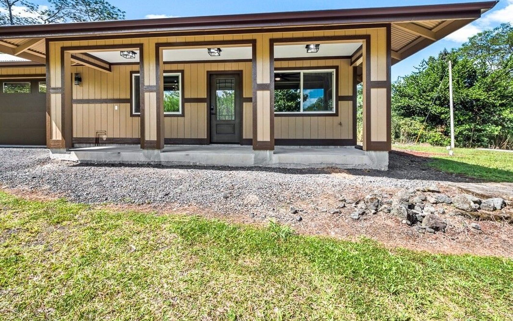
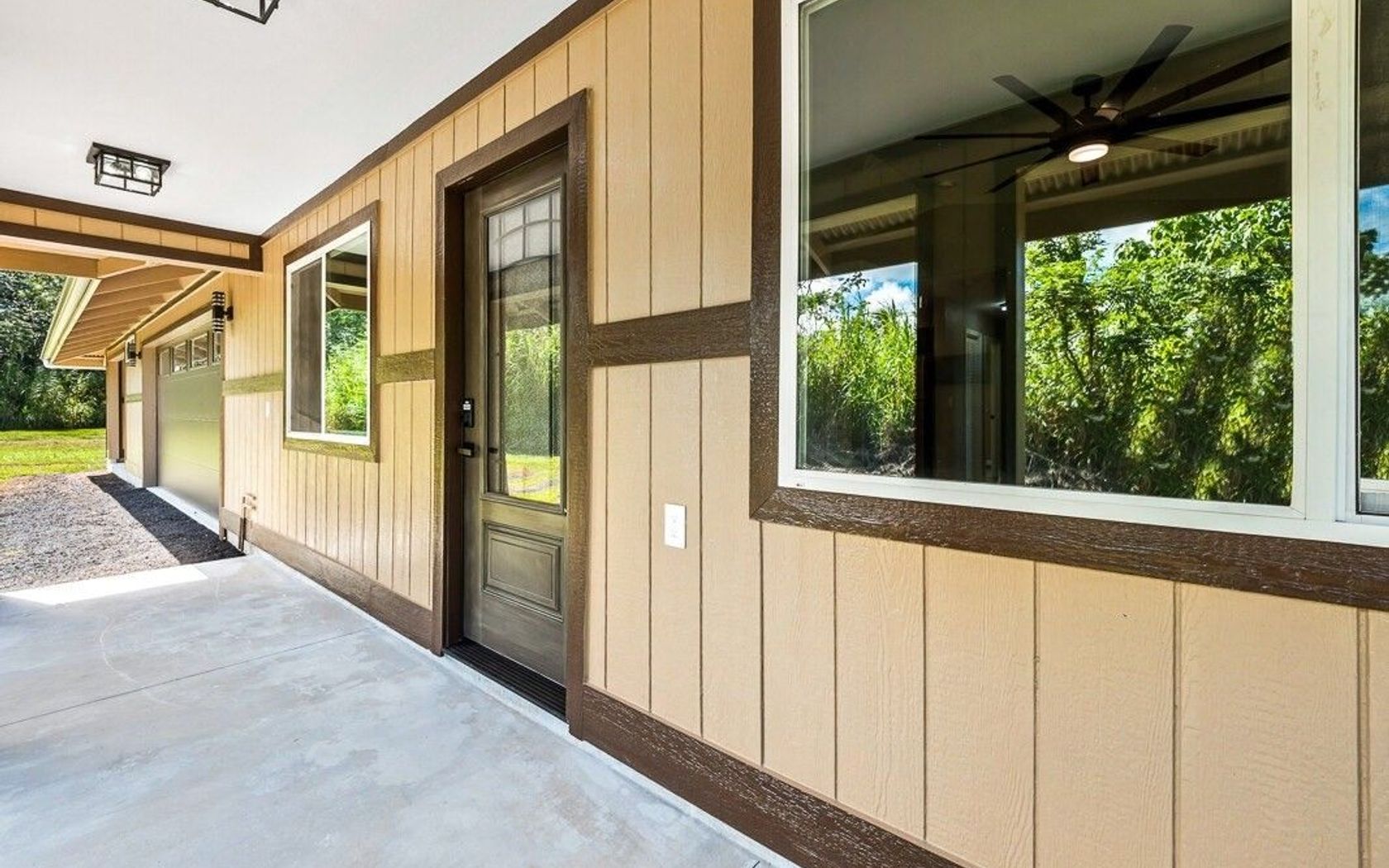
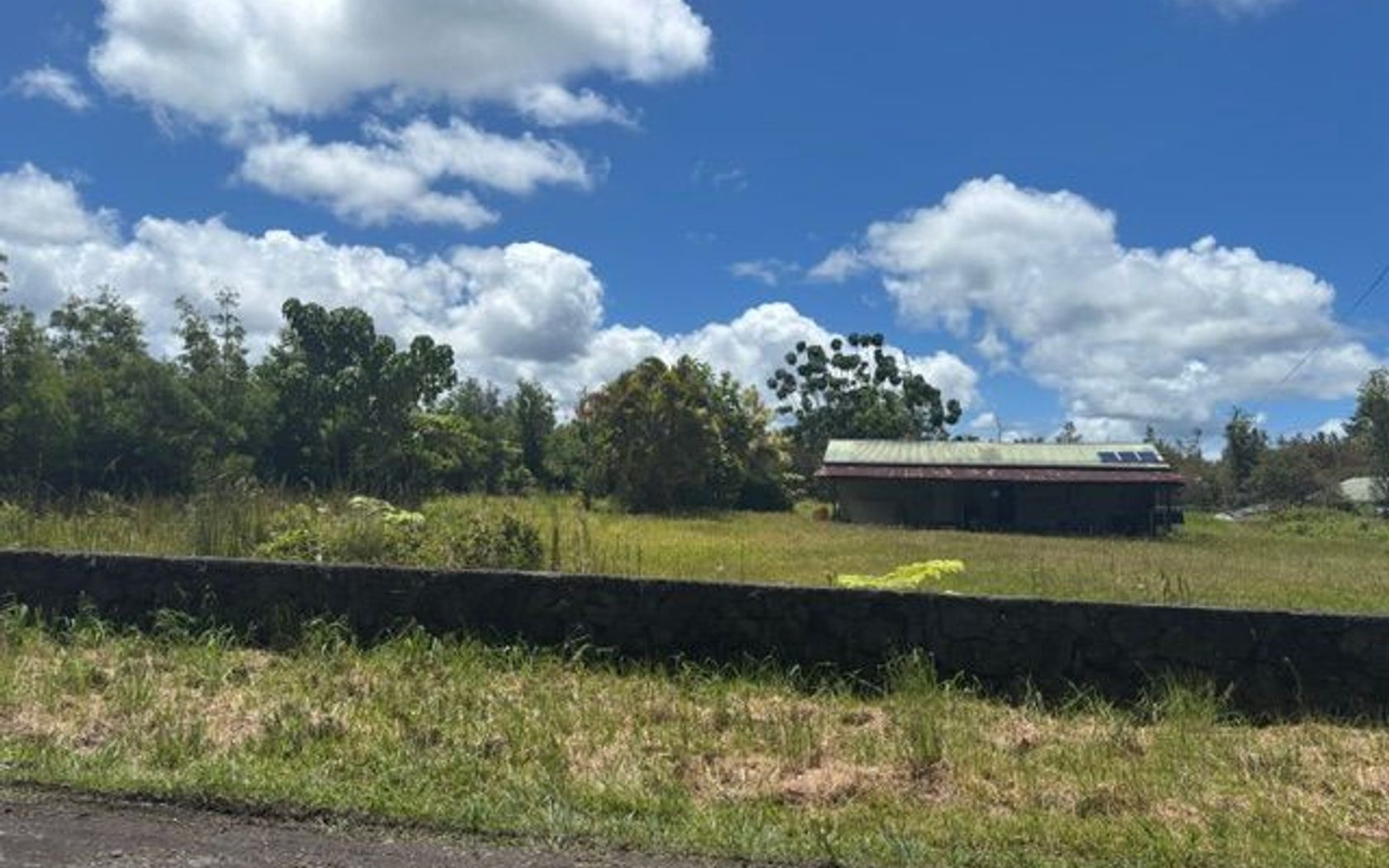
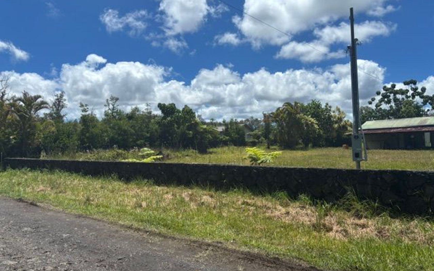
Land in Honomu Country Estates in Honomu Big Island
Fresh on Market
$729,000
Fee Simple
Active
4
bed
3
bath
2,036
sf
0.88
acres
House in Hawaiian Paradise Park in Keaau Big Island
Fresh on Market
$1,495,000
Fee Simple
Active
3
bed
2
bath
1,632
sf
1.06
acres
House in Wailua Kauai
Fresh on Market
$849,000
Fee Simple
Active
2
bed
2
bath
822
sf
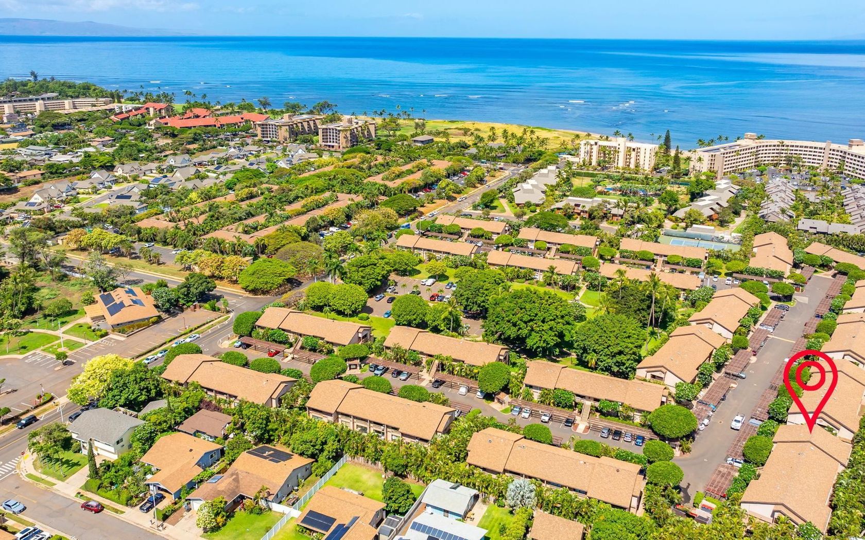
Condo in South Kihei in Kihei Maui
Fresh on Market
$519,000
Fee Simple
Active
3
bed
2
bath
1,368
sf
1.00
acres
House in Orchid Land Estates in Keaau Big Island
Fresh on Market
$799,000
Fee Simple
Active
1
bed
1
bath
1,231
sf
0.28
acres
House in Hawaiian Shores in Pahoa Big Island
Fresh on Market
$549,000
Fee Simple
Active
0.28
acres
Land in Kula Io in Kula/ulupalakua/kanaio Maui
Fresh on Market
$699,000
Fee Simple
Active
0.73
acres
Land in Kula Io in Kula/ulupalakua/kanaio Maui
Fresh on Market
$899,000
Fee Simple
Active
3
bed
2
bath
1,209
sf
House in Shores At Kohanaiki Resort in Kailua-Kona Big Island
Fresh on Market
$2,450,000
Fee Simple
Active
4
bed
2.5
bath
2,337
sf
0.23
acres
House in Princeville Kauai
Fresh on Market
$140,000
Fee Simple
Active
3
bed
1.5
bath
1,056
sf
0.35
acres
House in Hawaiian Parks in Pahoa Big Island
Fresh on Market
$110,000
Fee Simple
Active
800
sf
1.00
acres
House in Eden Roc Estates in Mountain View Big Island
Fresh on Market
$300,000
Fee Simple
Active
3
bed
1.5
bath
946
sf
0.18
acres
House in Kalapana Sea View Estates in Pahoa Big Island
Fresh on Market
$4,190,000
Fee Simple
Active
5
bed
5.5
bath
5,136
sf
3.21
acres
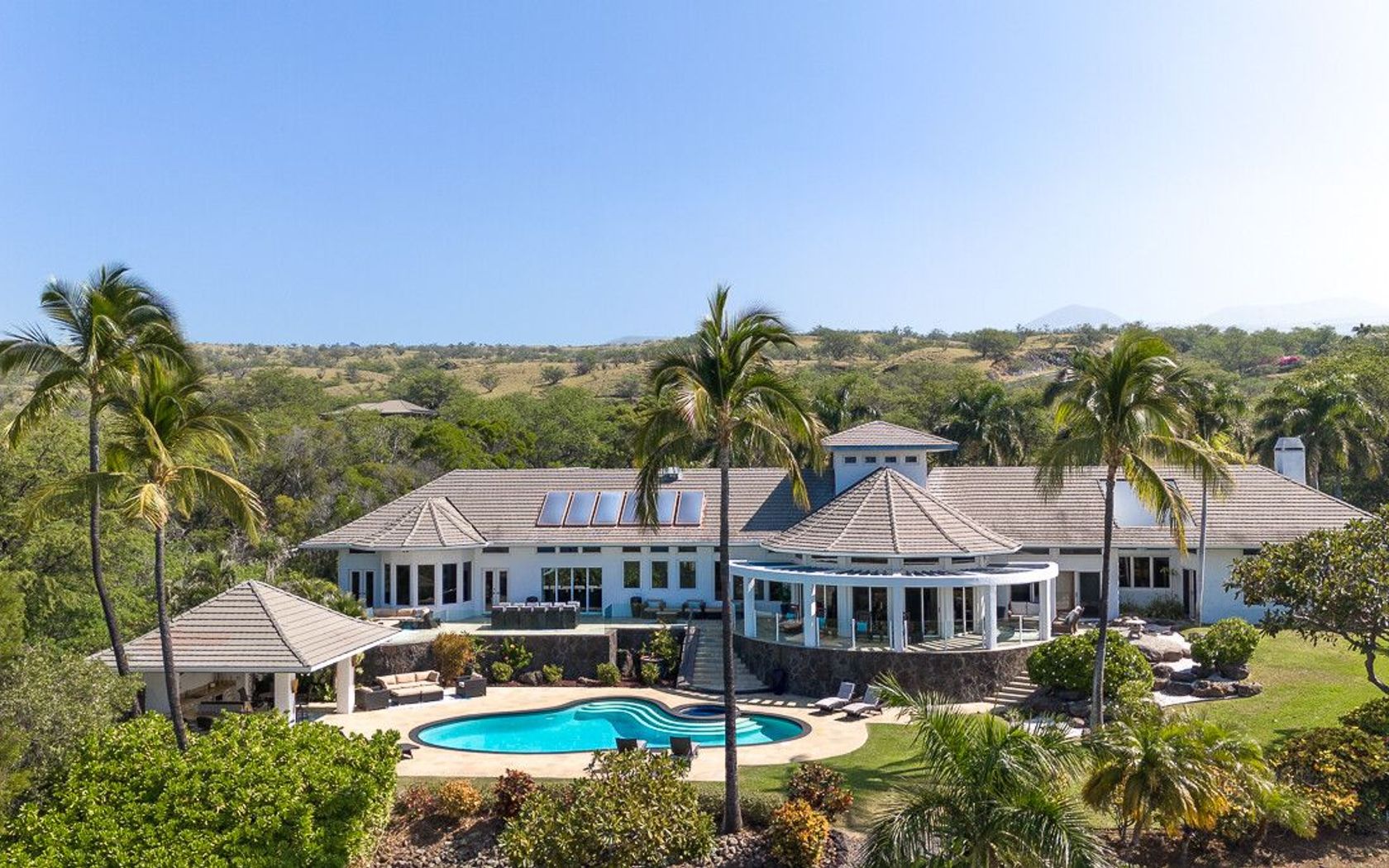
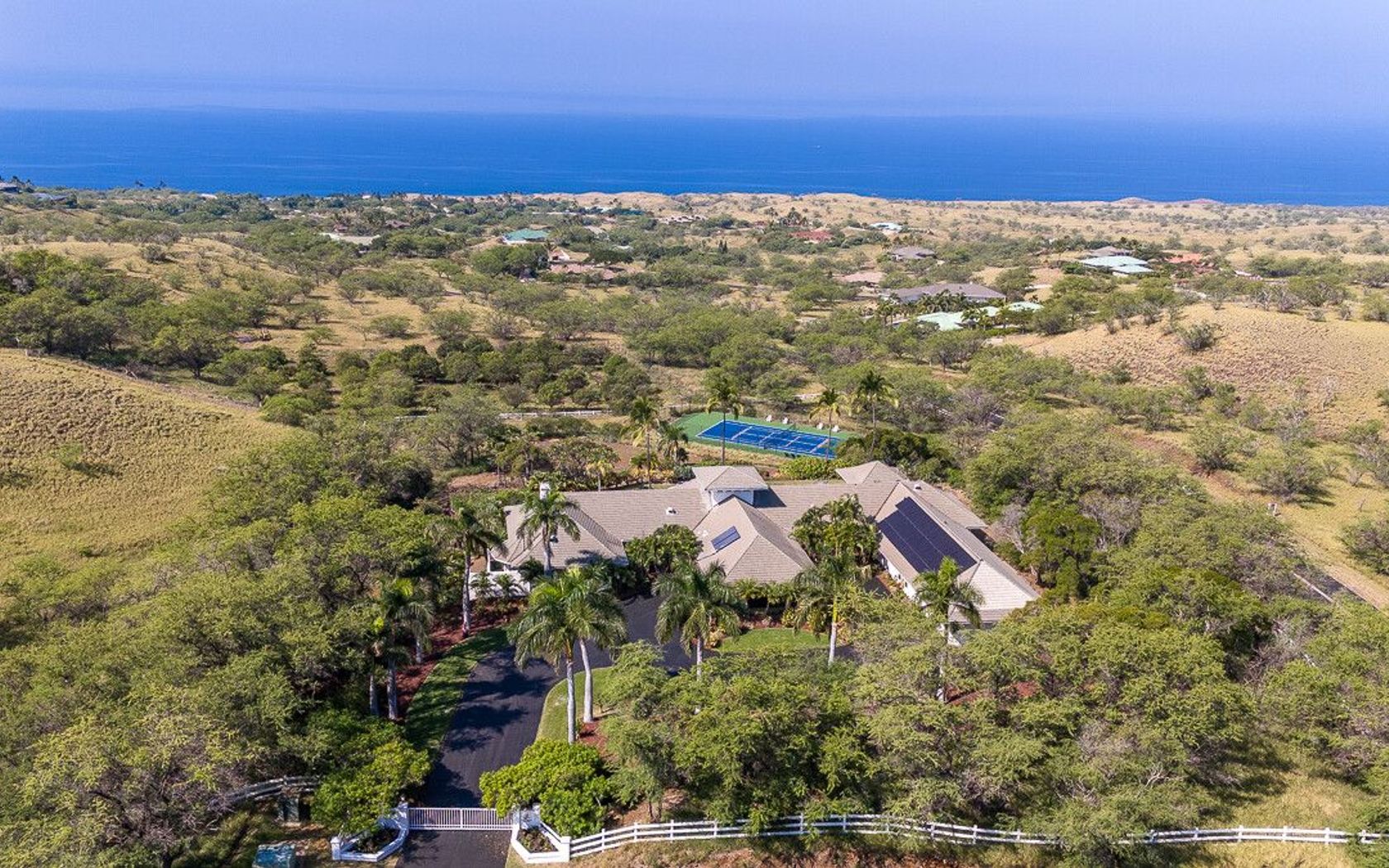
House in Kohala Ranch in Kawaihae Big Island
Fresh on Market
$4,500,000
Fee Simple
Active
4
bed
3
bath
2,509
sf
0.25
acres
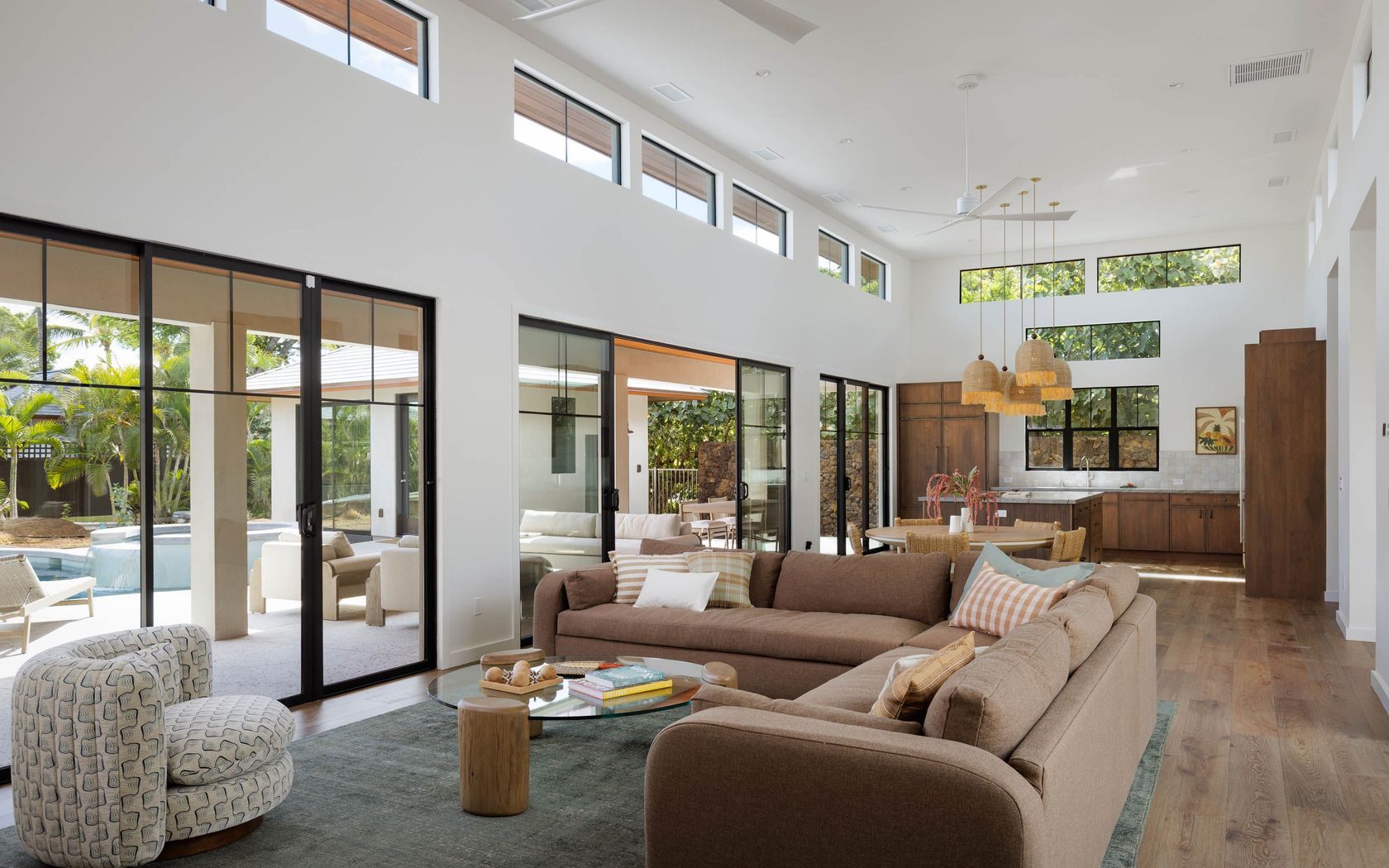
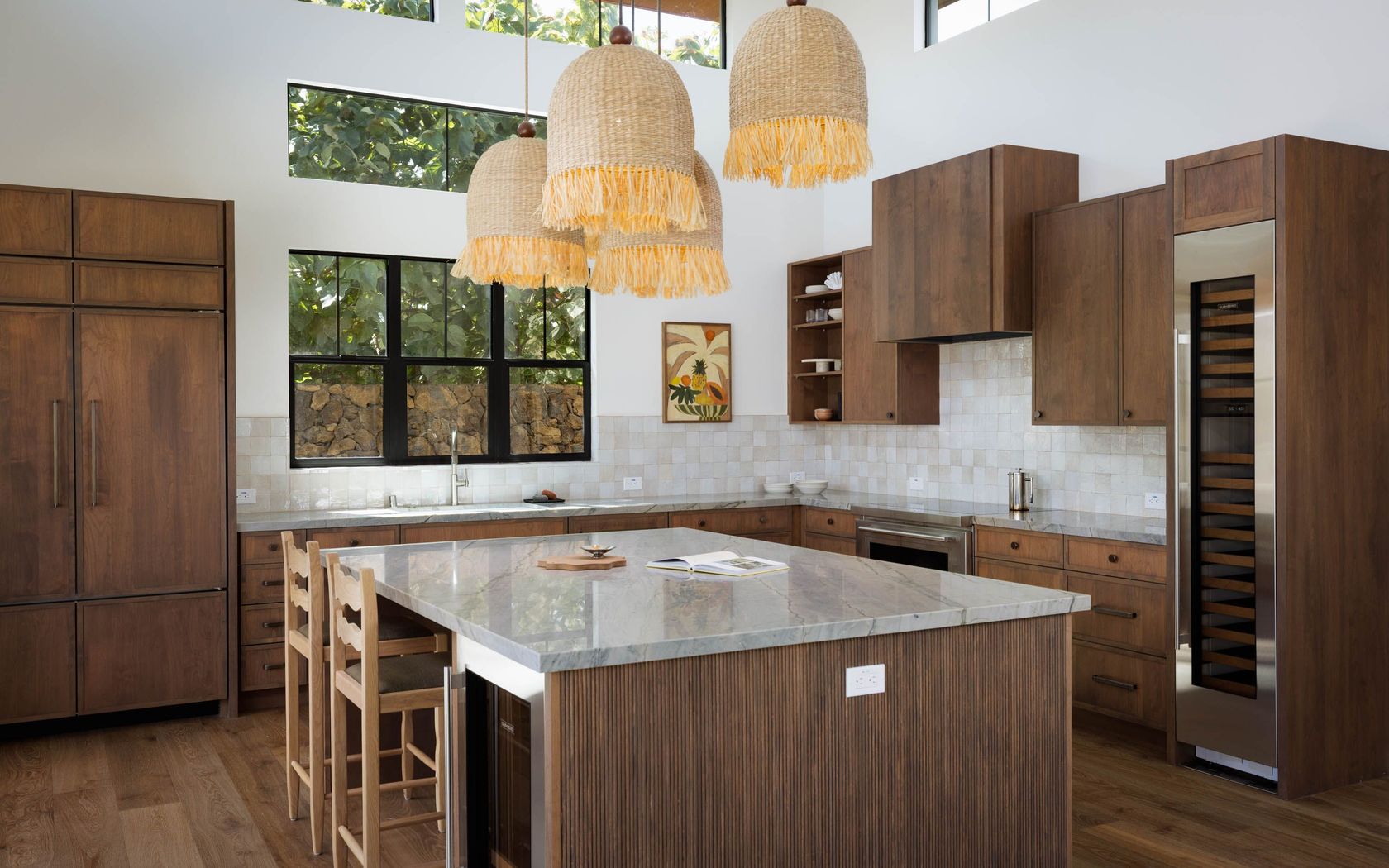
House in Mauna Lani Point in Kohala Coast Big Island
Fresh on Market
$499,000
Fee Simple
Active
1
bed
1
bath
566
sf
Condo in Hale Ono Loa in Napili/kahana/honokowai Maui
Fresh on Market
$2,600,000
Fee Simple
Active
3
bed
3
bath
1,636
sf
1.69
acres
House in Kula Io in Kula/ulupalakua/kanaio Maui
Fresh on Market
$435,000
Fee Simple
Active
2
bed
2
bath
846
sf
Condo in Hienaloli 1st - Hienaloli 6th in Kailua-Kona Big Island
Fresh on Market
$549,000
Fee Simple
Active
1
bed
1.5
bath
800
sf
Condo in Hienaloli 1st - Hienaloli 6th in Kailua-Kona Big Island
Fresh on Market
$3,878,000
Fee Simple
Active
3
bed
3
bath
1,742
sf
Condo in La'i Loa in Wailea/makena Maui
Fresh on Market
$3,895,000
Fee Simple
Active
4
bed
3.5
bath
2,569
sf
0.26
acres
House in Wailea Pualani Estates in Wailea/makena Maui
Fresh on Market
$1,150,000
Fee Simple
Active
2
bed
1
bath
1,177
sf
0.14
acres
House in Kalaheo Kauai
Fresh on Market
$1,495,000
Fee Simple
Active
1
bed
1
bath
763
sf
Condo in Pali Ke Kua in Princeville Kauai
Fresh on Market
$3,095,000
Fee Simple
Active
2
bed
3
bath
1,024
sf
0.99
acres
House in Lahaina Maui
Fresh on Market
$585,000
Fee Simple
Active
1
bed
2
bath
780
sf
Condo in Hienaloli 1st - Hienaloli 6th in Kailua-Kona Big Island
Fresh on Market
1 day ago
$1,599,000
Fee Simple
Active
3
bed
3
bath
2,268
sf
0.34
acres
House in Kona Vistas in Kailua-Kona Big Island
Fresh on Market
1 day ago
$1,075,000
Fee Simple
Active
3
bed
2
bath
1,404
sf
3,393
sq ft land
House in Lahaina Maui
Fresh on Market
1 day ago
$685,000
Fee Simple
Active
2
bed
1
bath
1,064
sf
0.27
acres
House in Waimea Homesteads in Kamuela Big Island
Fresh on Market
1 day ago
$42,000
Fee Simple
Active
3.00
acres
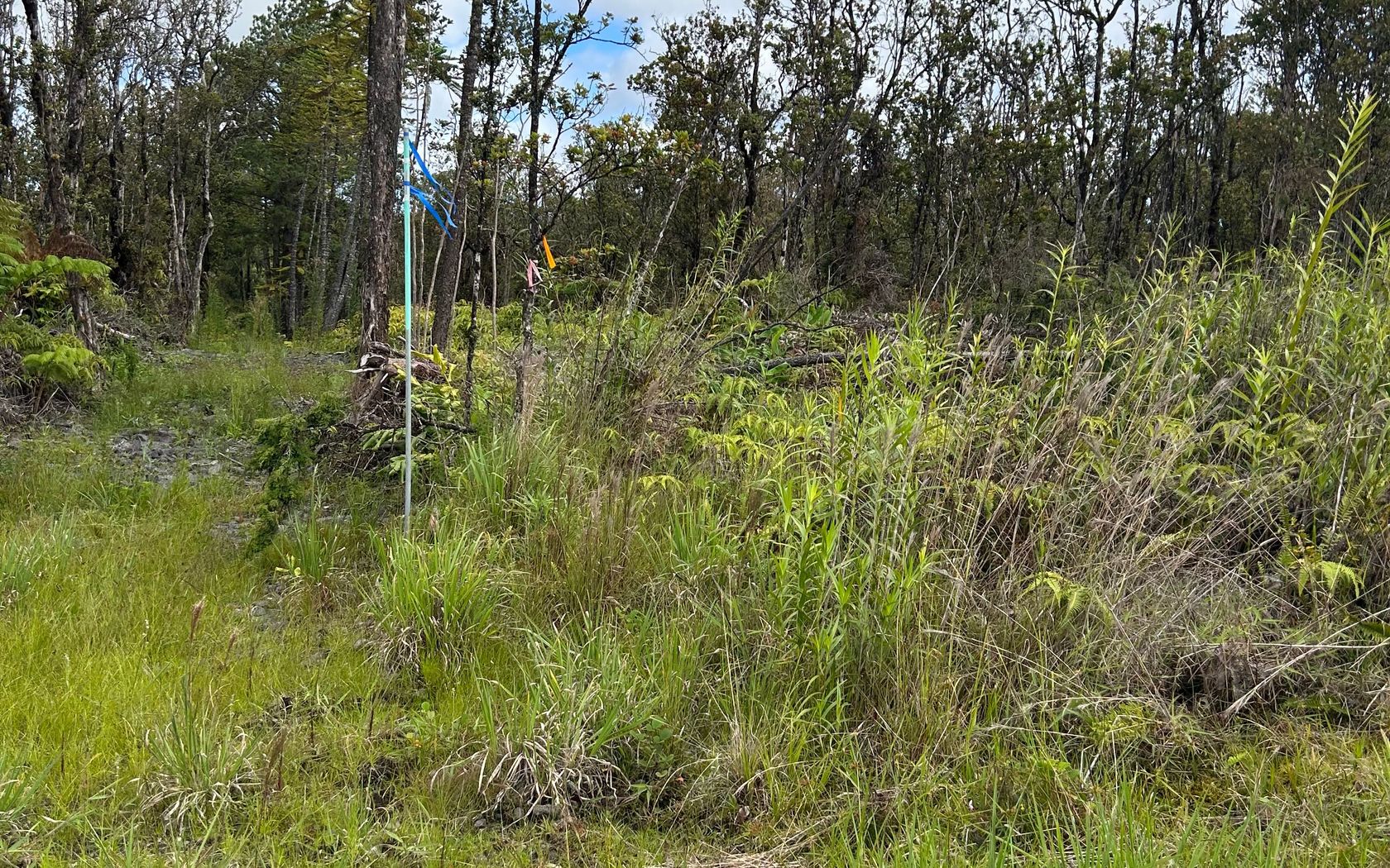
Land in Fern Forest Vacation Estates in Volcano Big Island
Fresh on Market
1 day ago
$685,000
Fee Simple
Active
2
bed
2
bath
1,197
sf
Condo in Konalani in Kailua-Kona Big Island
Fresh on Market
1 day ago
$1,375,000
Fee Simple
Active
3
bed
3.5
bath
2,170
sf
House in Liliha Oahu
Fresh on Market
1 day ago
$895,000
Fee Simple
Active
3
bed
2
bath
1,240
sf
Condo in Windward Harbour in Kailua Town Oahu
Fresh on Market
1 day ago
$75,000
Fee Simple
Active
0.32
acres
Land in Discovery Harbor in Discovery Harbour Big Island
Fresh on Market
1 day ago
$1,300,000
Fee Simple
Active
4
bed
2.5
bath
1,641
sf
House Oahu
Fresh on Market
1 day ago
$170,000
Fee Simple
Active
3.00
acres
Land in Fern Forest Vacation Estates in Volcano Big Island
Fresh on Market
1 day ago
$399,000
Fee Simple
Active
3
bed
2
bath
1,248
sf
0.28
acres
House in Hawaiian Shores Recreational Estates in Pahoa Big Island
Fresh on Market
1 day ago
$50,000
Fee Simple
Active
3.00
acres
Land in Hawaiian Acres in Kurtistown Big Island
Fresh on Market
1 day ago
$865,000
Fee Simple
Active
1
bed
1
bath
500
sf
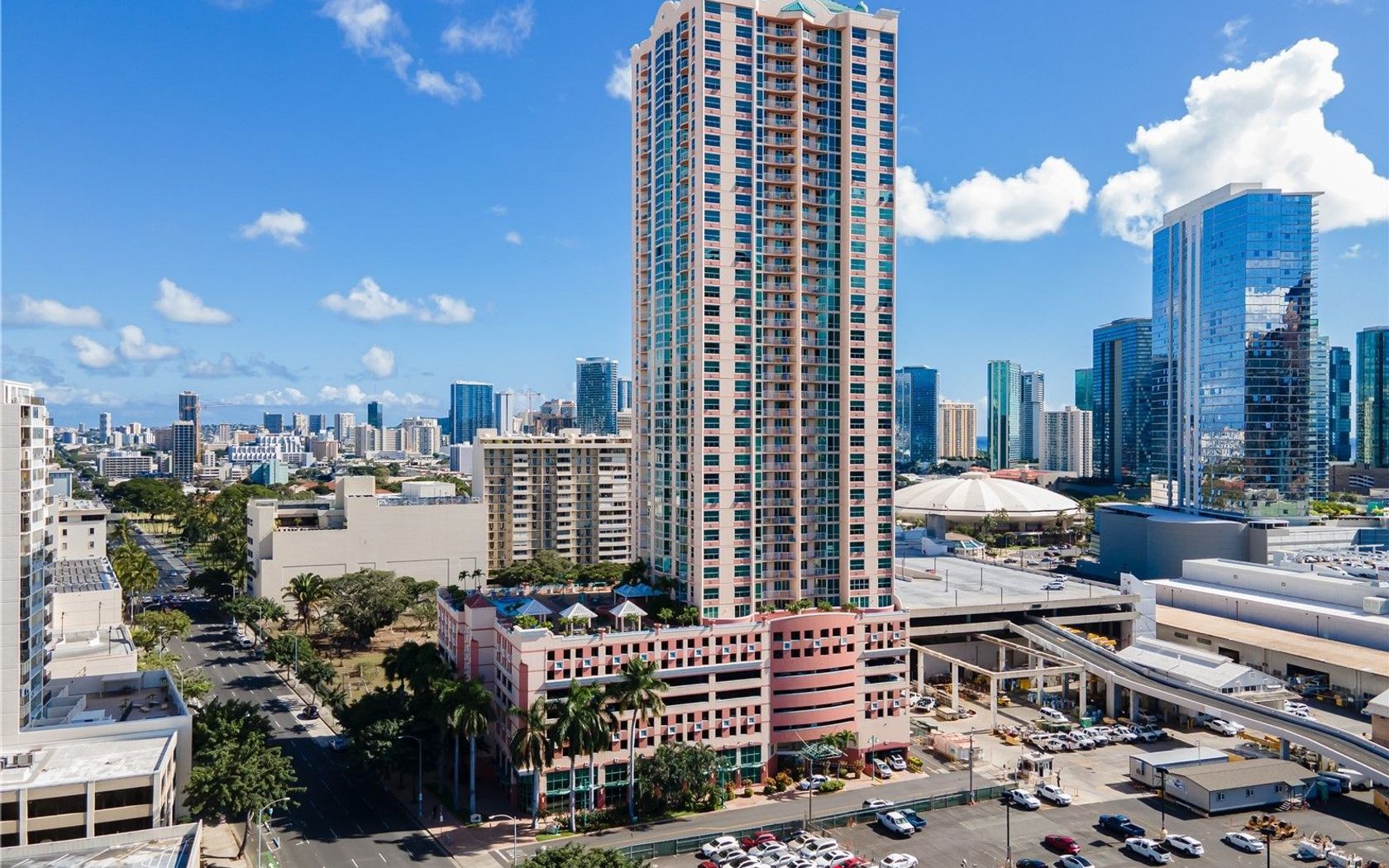
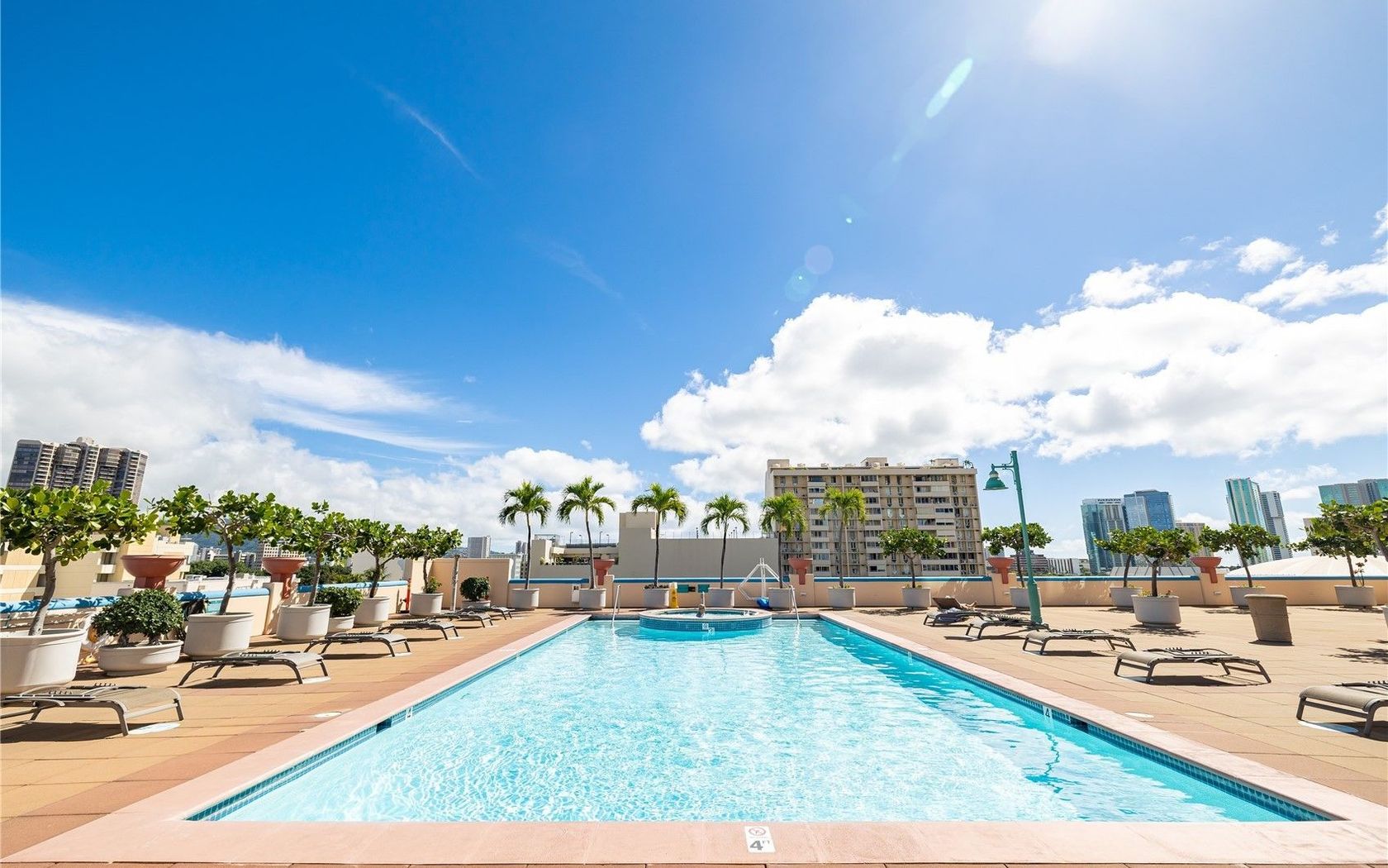
Condo in Waikiki Marina in Waikiki Oahu
Fresh on Market
1 day ago
$530,000
Fee Simple
Active
1
bed
1
bath
585
sf
Condo in One Archer Lane in Kakaako Oahu
Fresh on Market
1 day ago
$28,000
Fee Simple
Active
3.00
acres
Land in Hawaiian Acres in Kurtistown Big Island
Fresh on Market
1 day ago
$469,000
Fee Simple
Active
2
bed
2
bath
972
sf
0.21
acres
House in Kehena Beach Estates in Pahoa Big Island
Fresh on Market
1 day ago
$1,650,000
Fee Simple
Active
1
bed
1
bath
734
sf
Condo in Kakaako Oahu
Fresh on Market
1 day ago
$749,000
Fee Simple
Active
4
bed
3
bath
2,036
sf
0.90
acres
House in Hawaiian Paradise Park in Keaau Big Island
Fresh on Market
1 day ago
$1,050,000
Fee Simple
Active
3
bed
2
bath
1,308
sf
0.23
acres
House in Kuakini Makai in Kailua-Kona Big Island
Fresh on Market
1 day ago
$559,000
Fee Simple
Active
1
bed
1
bath
566
sf
Condo in Kona Sea Ridge in Kailua-Kona Big Island
Fresh on Market
1 day ago
$808,000
Fee Simple
Active
3
bed
2
bath
1,092
sf
0.14
acres
House Lanai
Fresh on Market
1 day ago
$729,999
Fee Simple
Active
3
bed
2
bath
1,848
sf
0.34
acres
House in Hawi Big Island
Fresh on Market
1 day ago
$235,000
Fee Simple
Active
2
bed
2
bath
908
sf
Condo in Ke Nani Kai in Ke Nani Kai West Molokai
Fresh on Market
1 day ago
$309,000
Fee Simple
Active
1
bath
384
sf
3.00
acres
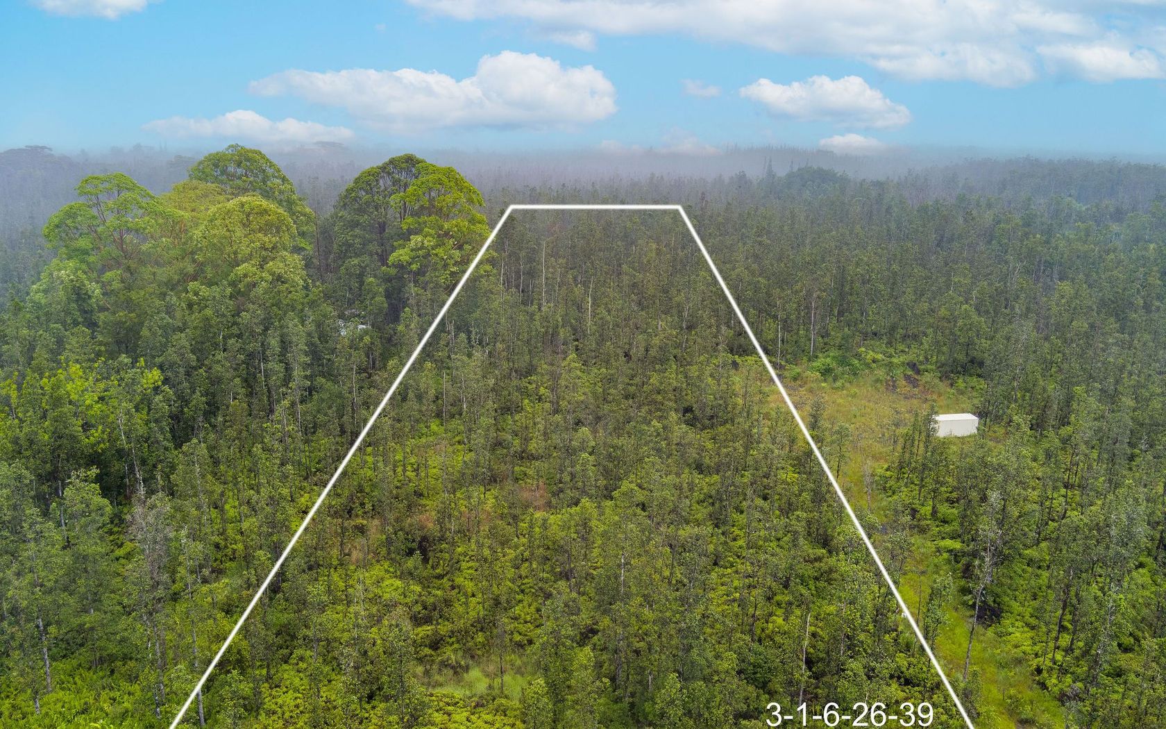
House in Hawaiian Orchid Island Estate in Volcano Big Island
Fresh on Market
1 day ago
$650,000
Fee Simple
Active
3
bed
2
bath
960
sf
Condo in Villas at Kahana Ridge in Napili/kahana/honokowai Maui
Fresh on Market
1 day ago
$760,000
Fee Simple
Active
4
bed
2.5
bath
2,184
sf
1.00
acres
House in Hawaiian Paradise Park in Keaau Big Island
Fresh on Market
1 day ago
$1,500,000
Fee Simple
Active
1
bed
1
bath
1,008
sf
5.27
acres
House in Pahoa Big Island
Fresh on Market
1 day ago
$889,000
Fee Simple
Active
2
bed
2
bath
1,644
sf
Condo in Mt. Terrace in West Marina Oahu
Fresh on Market
1 day ago
$1,385,000
Fee Simple
Active
1
bed
1
bath
733
sf
Condo in Kakaako Oahu
Fresh on Market
1 day ago
$1,749,000
Fee Simple
Active
4
bed
4
bath
2,250
sf
0.21
acres
House in Royal Sea Cliff in Kailua-Kona Big Island
Fresh on Market
1 day ago
$45,000
Fee Simple
Active
0.32
acres
Land in Discovery Harbor in Discovery Harbour Big Island
Fresh on Market
1 day ago
$549,000
Fee Simple
Active
2
bed
2
bath
1,104
sf
0.32
acres
House in Discovery Harbor in Discovery Harbour Big Island
Fresh on Market
1 day ago
$1,100,000
Fee Simple
Active
4
bed
3
bath
1,502
sf
3,402
sq ft land
House in Kahului Maui
Fresh on Market
1 day ago
$1,250,000
Fee Simple
Active
2
bed
2
bath
890
sf
Condo in Maui Banyan in Kihei Maui
Fresh on Market
1 day ago
$1,800,000
Fee Simple
Active
3
bed
2.5
bath
1,972
sf
1.00
acres
House in Homesteads in Wailua Kauai
Fresh on Market
1 day ago
$579,000
Fee Simple
Active
1.02
acres
Land in Lawai Kauai
Fresh on Market
1 day ago
$949,999
Fee Simple
Active
3
bed
2
bath
1,496
sf
House Oahu
Fresh on Market
1 day ago
$835,000
Fee Simple
Active
3
bed
1
bath
836
sf
House in Ewa Beach Oahu
Fresh on Market
1 day ago
$1,950,000
Fee Simple
Active
2
bed
2.5
bath
2,189
sf
Condo in Mauna Lani Resort in Kohala Coast Big Island
Fresh on Market
1 day ago
$369,000
Fee Simple
Active
13.40
acres
Land in Olaa Reservation Lots in Mountain View Big Island
Fresh on Market
1 day ago
$1,895,000
Fee Simple
Active
3
bed
3
bath
2,058
sf
0.42
acres
House in Alii Heights in Kailua-Kona Big Island
Fresh on Market
1 day ago
$499,000
Fee Simple
Active
0.20
acres
Land in Kona Heights in Kailua-Kona Big Island
Fresh on Market
1 day ago
$625,000
Fee Simple
Active
3
bed
2
bath
932
sf
Condo in North Kihei in Kihei Maui
Fresh on Market
1 day ago
$1,072,000
Fee Simple
Active
5
bed
6
bath
2,708
sf
0.39
acres
House in Kona Coastview in Kailua-Kona Big Island
Fresh on Market
1 day ago
$375,000
Fee Simple
Active
1
bed
1
bath
571
sf
Condo in Kona Harbor View in Kailua-Kona Big Island
Fresh on Market
1 day ago
$460,000
Fee Simple
Active
3
bed
2.5
bath
1,356
sf
0.28
acres
House in Ainaloa in Pahoa Big Island
Fresh on Market
1 day ago
$820,000
Fee Simple
Active
3
bed
1
bath
924
sf
House in Liliha Oahu
Fresh on Market
1 day ago
$448,000
Fee Simple
Active
2
bed
2
bath
805
sf
Condo in Ridgeway in Pearlridge Oahu
Fresh on Market
1 day ago
$999,980
Fee Simple
Active
3
bed
2
bath
1,846
sf
0.38
acres
House in Kona Orchard Subdivision in Kailua-Kona Big Island
Fresh on Market
2 days ago
$120,000
Fee Simple
Active
0.17
acres
Land in Kalapana Sea View Estates in Pahoa Big Island
Fresh on Market
2 days ago
$775,000
Fee Simple
Active
3
bed
2
bath
1,303
sf
Condo in Gardenia Manor in Kailua Town Oahu
Fresh on Market
2 days ago
$339,000
Fee Simple
Active
1
bed
1
bath
413
sf
Condo in Waikiki Oahu
Fresh on Market
2 days ago
$699,000
Fee Simple
Active
2
bed
1
bath
825
sf
Condo in Gardenia Manor in Kailua Town Oahu
Fresh on Market
2 days ago
$1,425,000
Fee Simple
Active
4
bed
3
bath
1,557
sf
Condo in Kuapa Isle in West Marina Oahu
Fresh on Market
2 days ago
$3,895,000
Fee Simple
Active
5
bed
4
bath
3,200
sf
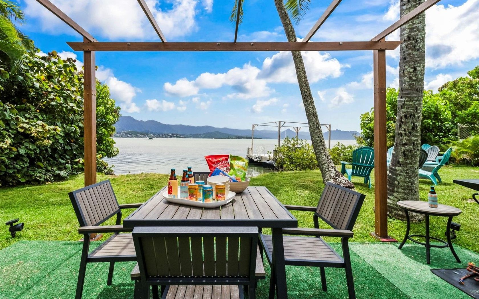
House in Kaneohe Bay Oahu
Fresh on Market
2 days ago
$650,000
Fee Simple
Active
4
bed
3
bath
1,960
sf
0.50
acres
House in Hawaiian Paradise Park in Keaau Big Island
Fresh on Market
2 days ago
$349,900
Fee Simple
Active
Studio
1
bath
313
sf
Condo in Waikiki Oahu
Fresh on Market
2 days ago
$600,000
Fee Simple
Active
Studio
1
bath
426
sf
Condo in The Ritz-Carlton Residences - 383 Kalaimoku in Waikiki Oahu
Fresh on Market
2 days ago
$1,899,000
Fee Simple
Active
4
bed
3
bath
2,175
sf
House in Maunawili Oahu
Fresh on Market
2 days ago
$925,000
Fee Simple
Active
2
bed
2
bath
1,427
sf
Condo in Kalele Kai in Kealaula Kai Oahu
Fresh on Market
2 days ago
$935,000
Fee Simple
Active
4
bed
3
bath
1,464
sf
House in Ewa Gentry Oahu
Fresh on Market
2 days ago
$525,000
Fee Simple
Active
2
bed
2
bath
723
sf
Condo in Villa On Eaton Square in Waikiki Oahu
Fresh on Market
2 days ago
$630,000
Fee Simple
Active
1
bed
1
bath
587
sf
Condo in Keola Lai in Kakaako Oahu
Fresh on Market
2 days ago
$279,000
Fee Simple
Active
1
bed
1
bath
574
sf
Condo in Queen Emma Gardens in Downtown Oahu
Fresh on Market
2 days ago
$460,000
Fee Simple
Active
1
bed
1
bath
553
sf
Condo in Four Paddle in Waikiki Oahu
Fresh on Market
2 days ago
$635,000
Fee Simple
Active
2
bed
2
bath
920
sf
Condo in Kapolei Oahu
Draw
Aerial
Update results on map move.
Hawaii Real Estate
Islands, districts & towns
Price
All Filters
10,000+
Listings
Sort
10,000
Listings
Sort
Map
Fresh on Market
$1,995,000
Fee Simple
Active
0.23
acres
Land in Kihei Maui
Fresh on Market
$2,500,000
Fee Simple
Active
3
bed
2
bath
2,834
sf
0.53
acres
House in Maui Meadows in Kihei Maui
Fresh on Market
1 day ago
$2,125,000
Fee Simple
Active
5
bed
4
bath
2,772
sf
0.50
acres
House in Omao Kauai
Fresh on Market
2 days ago
$1,185,000
Fee Simple
Active
Land in Nuuanu Punchbowl Oahu
Fresh on Market
2 days ago
$1,185,000
Fee Simple
Active
House in Nuuanu Punchbowl Oahu
Fresh on Market
2 days ago
$389,000
Fee Simple
Active
0.26
acres
Land in Kalaheo Kauai
$575,000
Fee Simple
Active
1
bed
1
bath
874
sf
Condo in Esplanade in Spinnaker Isle Oahu
$1,299,000
Fee Simple
Active
4
bed
3
bath
1,774
sf
0.11
acres
House in Waikapu in Wailuku Maui
Fresh on Market
$1,450,000
Fee Simple
Active
3
bed
2.5
bath
1,715
sf
0.18
acres
House in Grand Fairways at Maui Lani in Kahului Maui
Fresh on Market
$264,000
Fee Simple
Active
0.17
acres
Land in Honomu Country Estates in Honomu Big Island
Fresh on Market
$729,000
Fee Simple
Active
4
bed
3
bath
2,036
sf
0.88
acres
House in Hawaiian Paradise Park in Keaau Big Island
Fresh on Market
$1,495,000
Fee Simple
Active
3
bed
2
bath
1,632
sf
1.06
acres
House in Wailua Kauai
Fresh on Market
$849,000
Fee Simple
Active
2
bed
2
bath
822
sf
Condo in South Kihei in Kihei Maui
Fresh on Market
$519,000
Fee Simple
Active
3
bed
2
bath
1,368
sf
1.00
acres
House in Orchid Land Estates in Keaau Big Island
Fresh on Market
$799,000
Fee Simple
Active
1
bed
1
bath
1,231
sf
0.28
acres
House in Hawaiian Shores in Pahoa Big Island
Fresh on Market
$549,000
Fee Simple
Active
0.28
acres
Land in Kula Io in Kula/ulupalakua/kanaio Maui
Fresh on Market
$699,000
Fee Simple
Active
0.73
acres
Land in Kula Io in Kula/ulupalakua/kanaio Maui
Fresh on Market
$899,000
Fee Simple
Active
3
bed
2
bath
1,209
sf
House in Shores At Kohanaiki Resort in Kailua-Kona Big Island
Fresh on Market
$2,450,000
Fee Simple
Active
4
bed
2.5
bath
2,337
sf
0.23
acres
House in Princeville Kauai
Fresh on Market
$140,000
Fee Simple
Active
3
bed
1.5
bath
1,056
sf
0.35
acres
House in Hawaiian Parks in Pahoa Big Island
Fresh on Market
$110,000
Fee Simple
Active
800
sf
1.00
acres
House in Eden Roc Estates in Mountain View Big Island
Fresh on Market
$300,000
Fee Simple
Active
3
bed
1.5
bath
946
sf
0.18
acres
House in Kalapana Sea View Estates in Pahoa Big Island
Fresh on Market
$4,190,000
Fee Simple
Active
5
bed
5.5
bath
5,136
sf
3.21
acres
House in Kohala Ranch in Kawaihae Big Island
Fresh on Market
$4,500,000
Fee Simple
Active
4
bed
3
bath
2,509
sf
0.25
acres
House in Mauna Lani Point in Kohala Coast Big Island
Fresh on Market
$499,000
Fee Simple
Active
1
bed
1
bath
566
sf
Condo in Hale Ono Loa in Napili/kahana/honokowai Maui
Show All
1
2
3
4
5
...
100