Click to
communicate.
Sign In
9,947
Listings
Sort
Map
Whoops, that listing wasn't found.
We tried to find your listing, but we couldn't.
We don't currently show sold or expired listings.
Create New Search
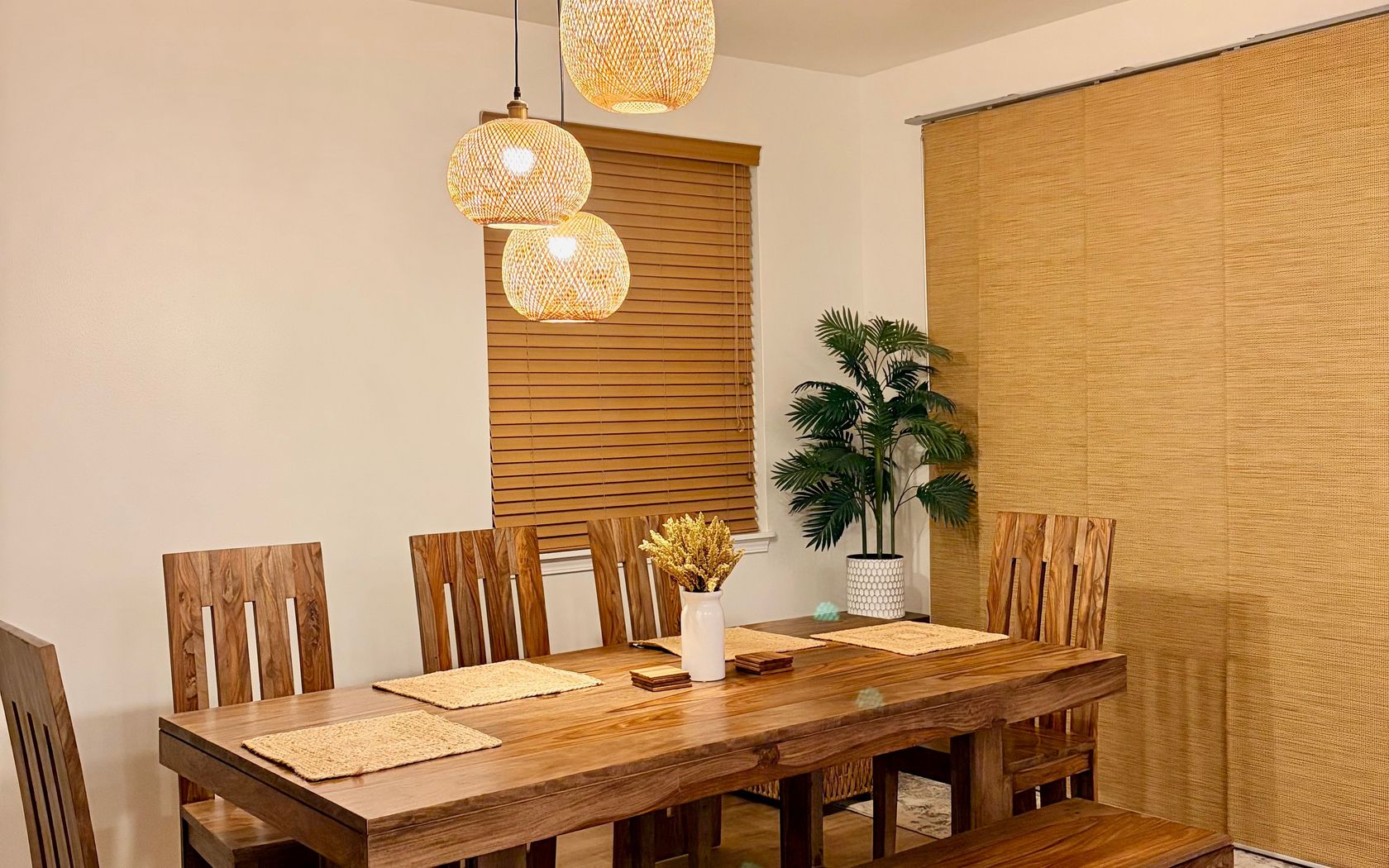
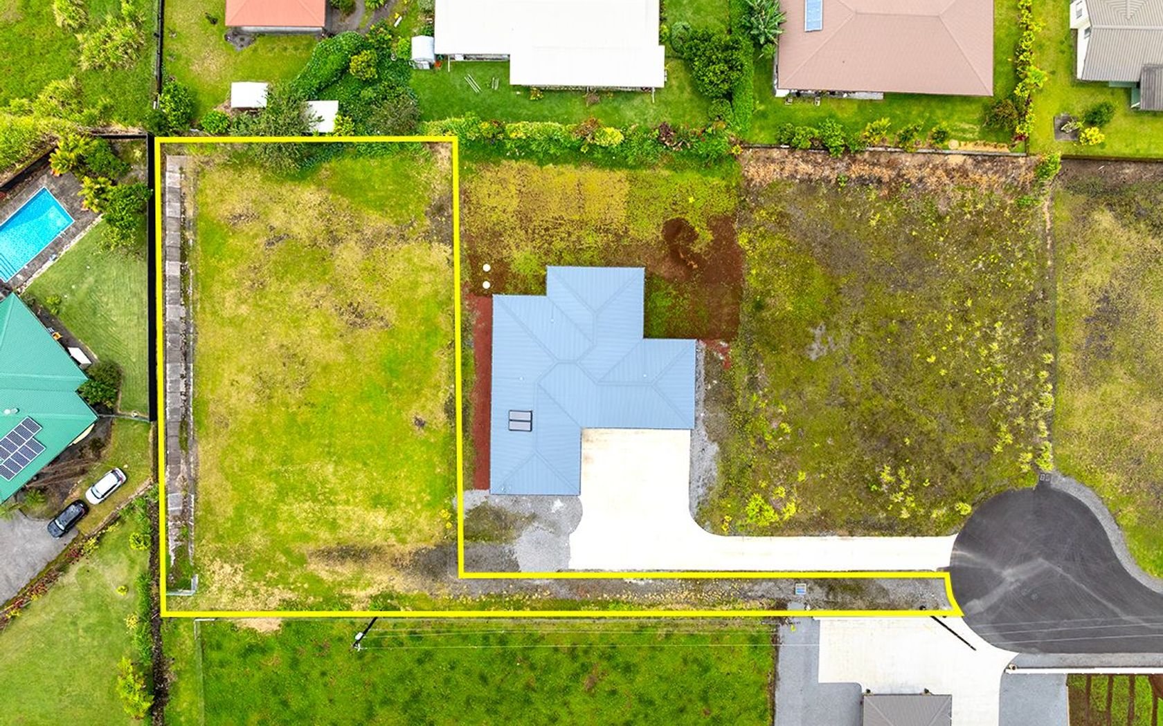
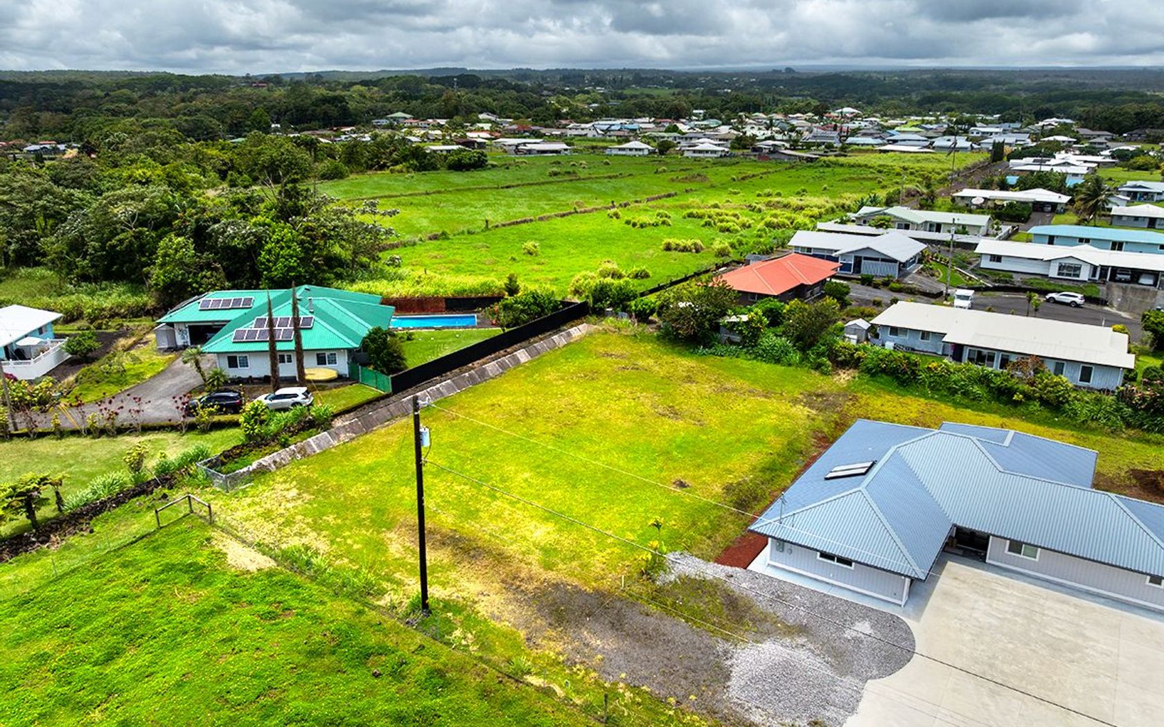
Fresh on Market
$1,299,000
Fee Simple
Active
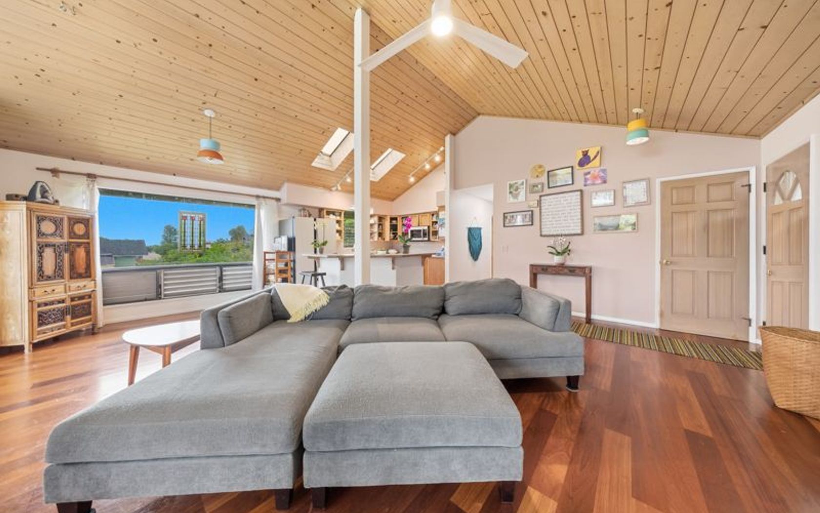
4
bed
3
bath
1,774
sf
0.11
acres
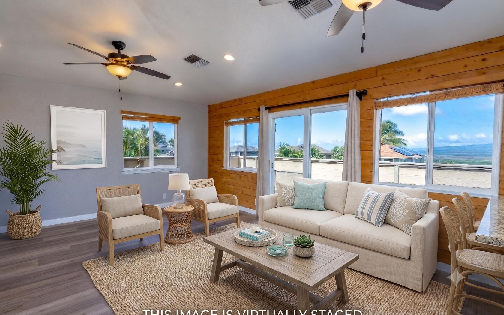
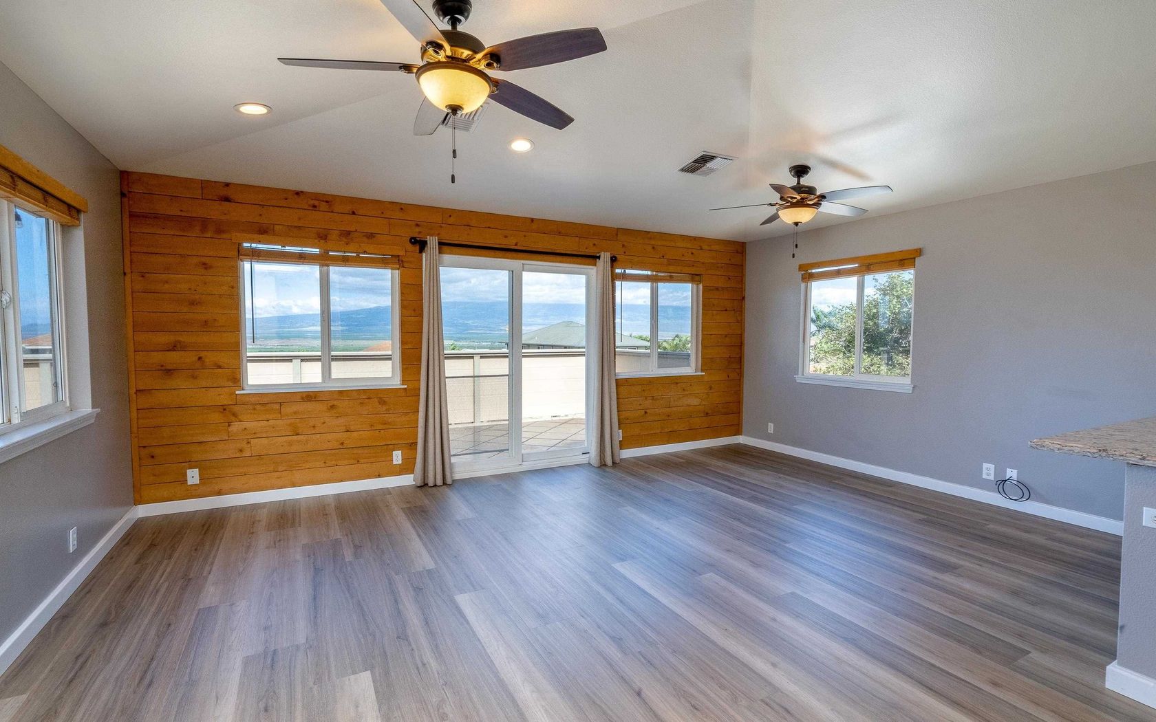
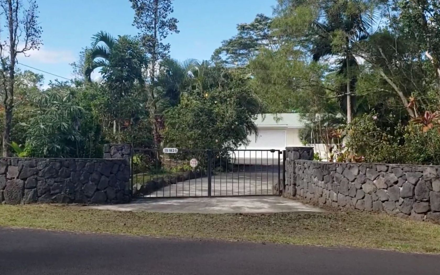
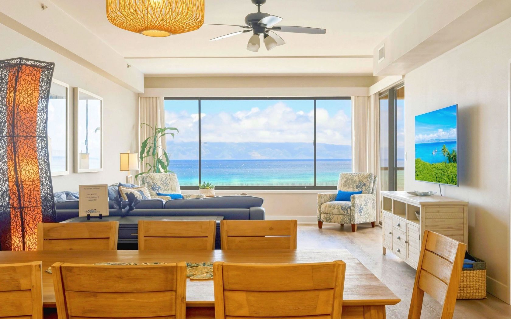
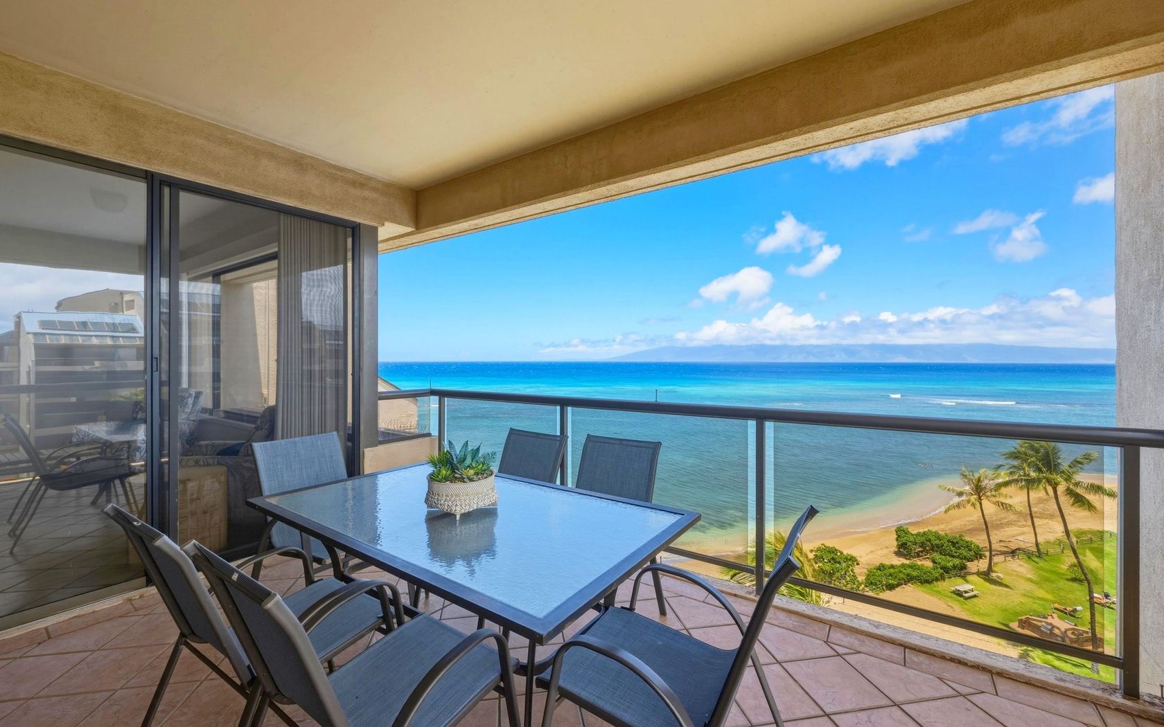
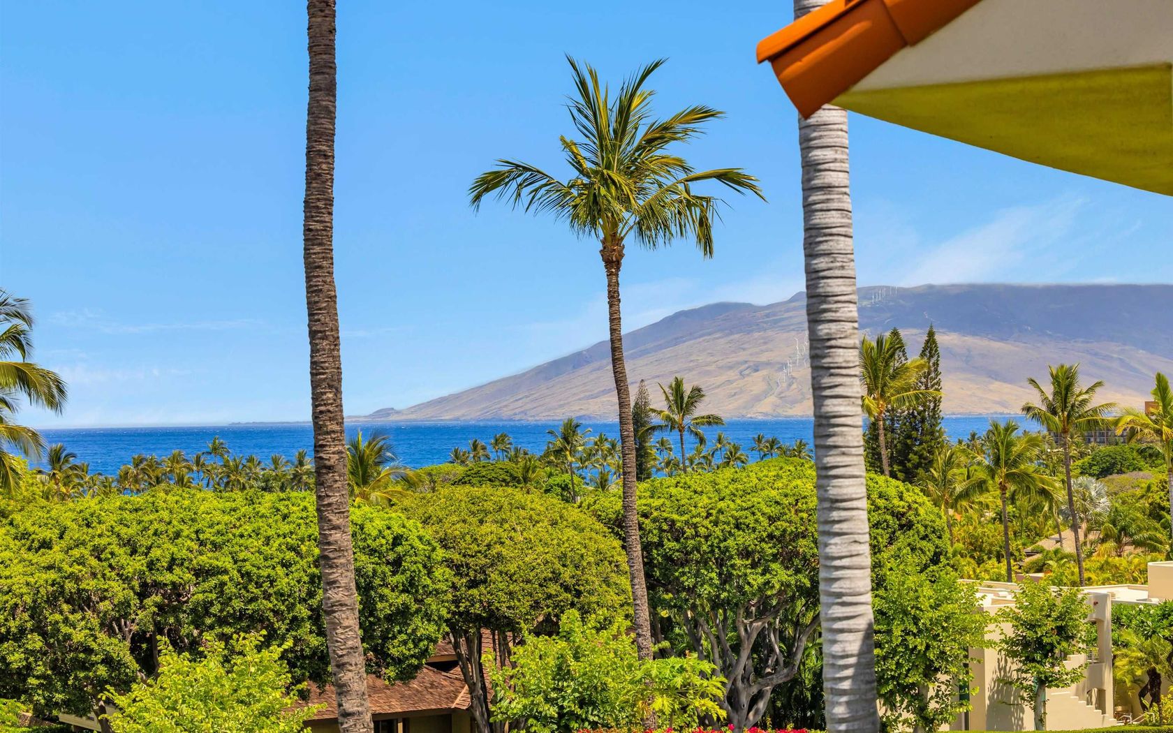
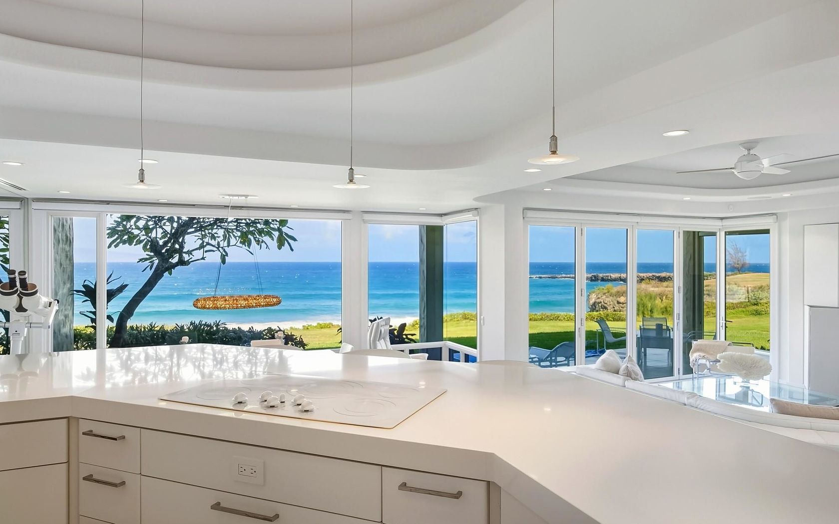
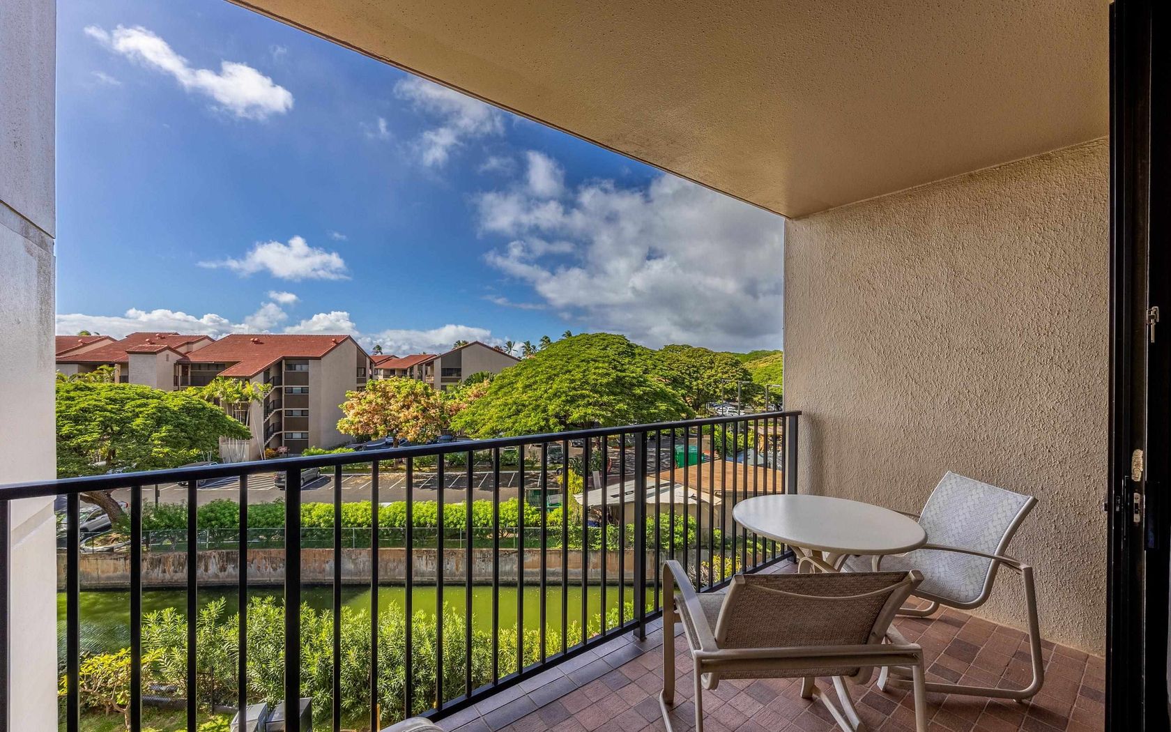
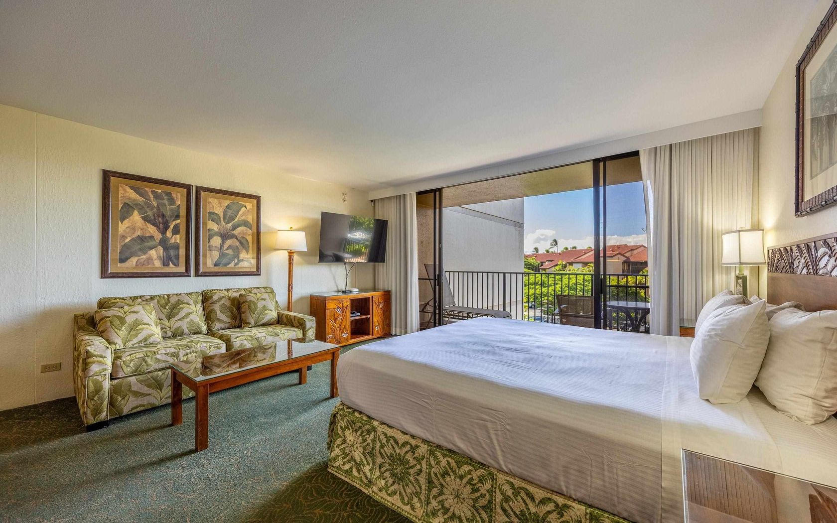
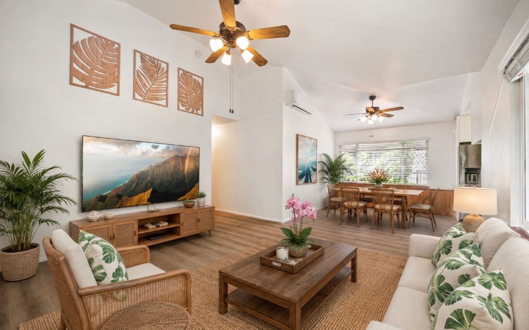
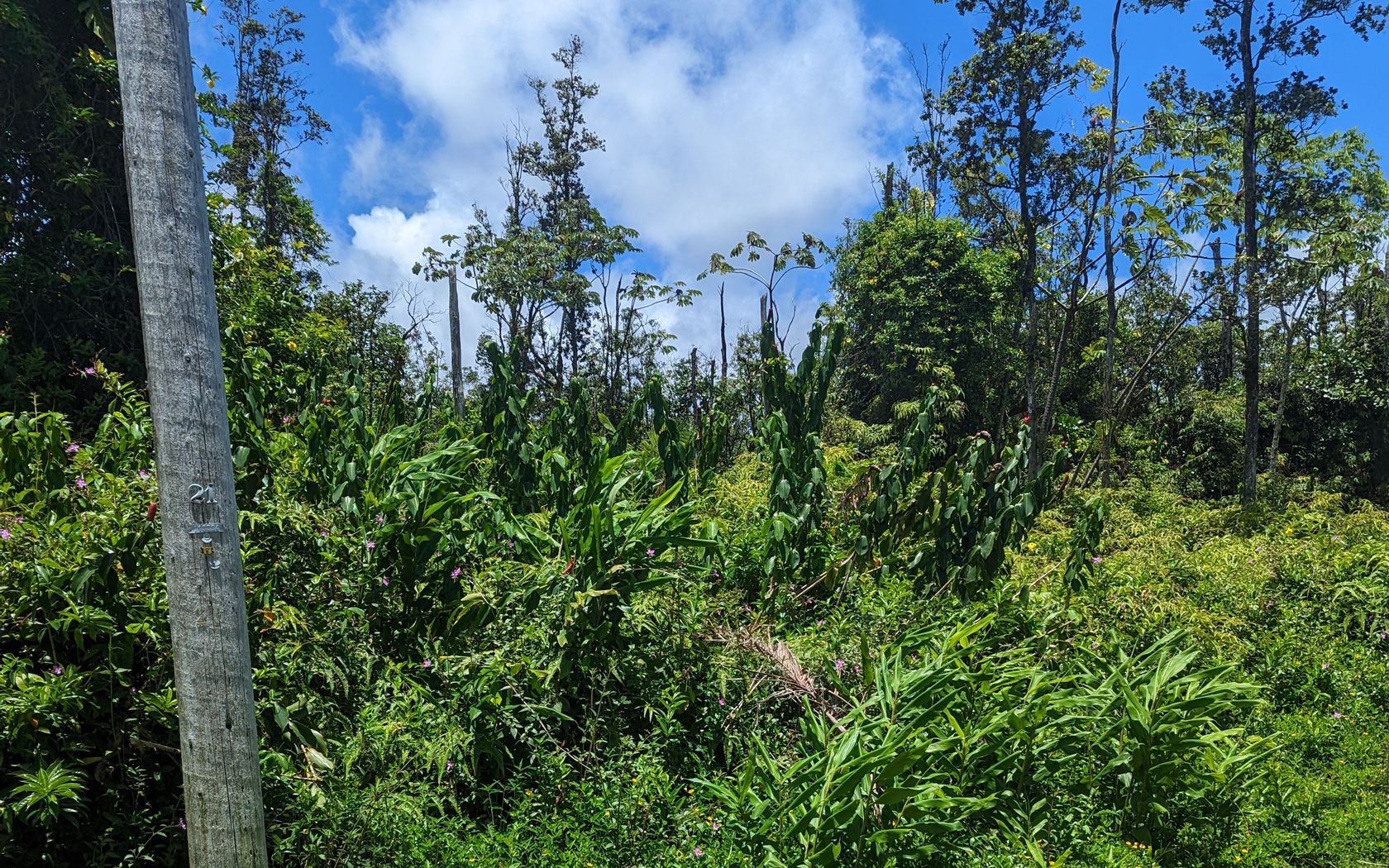
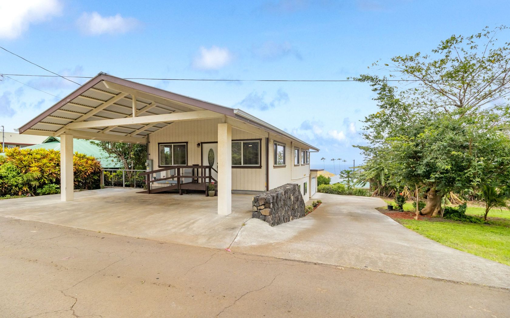
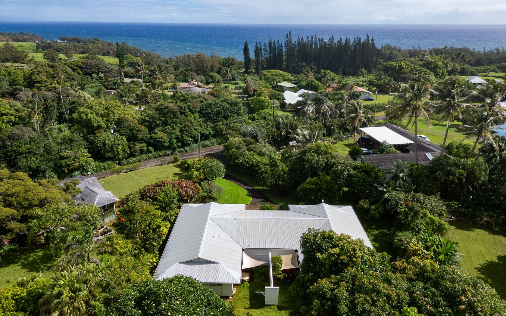
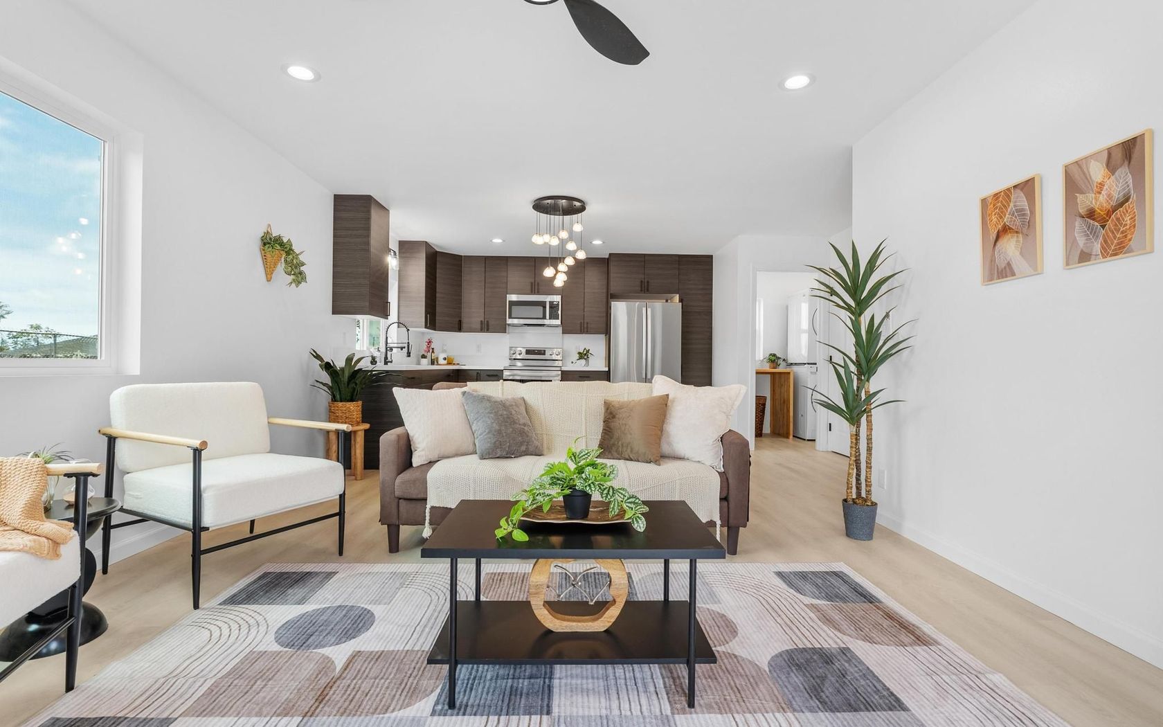
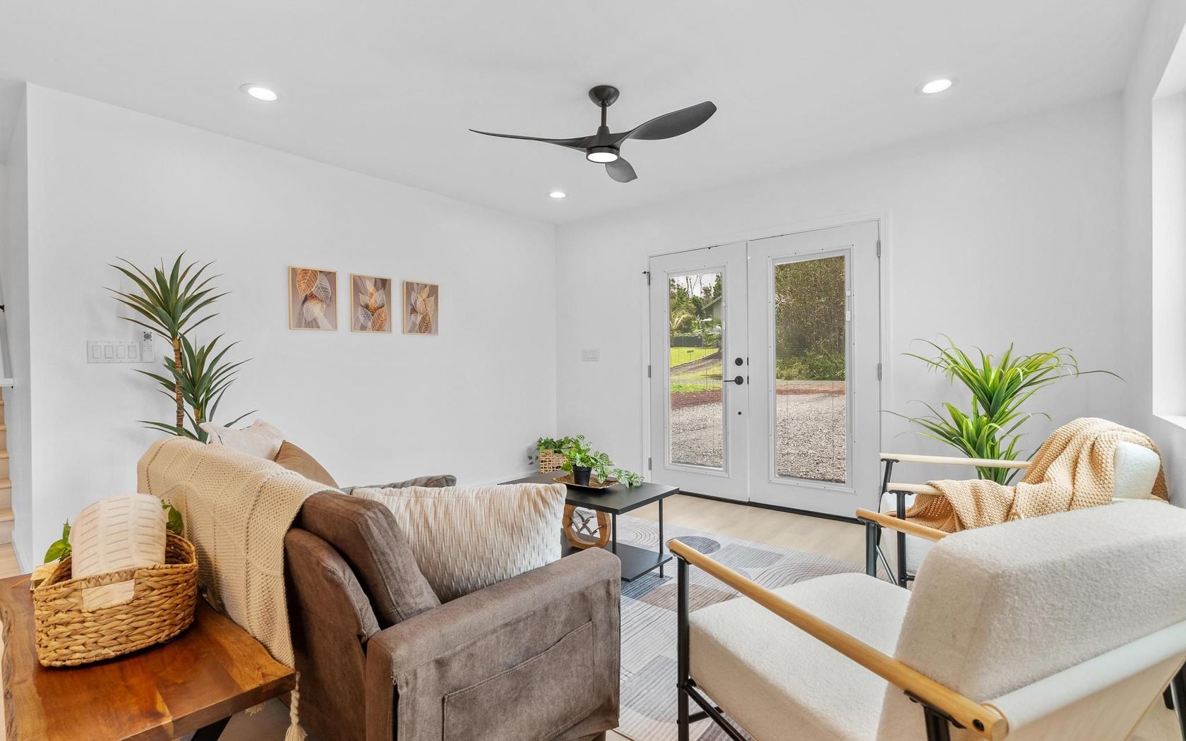
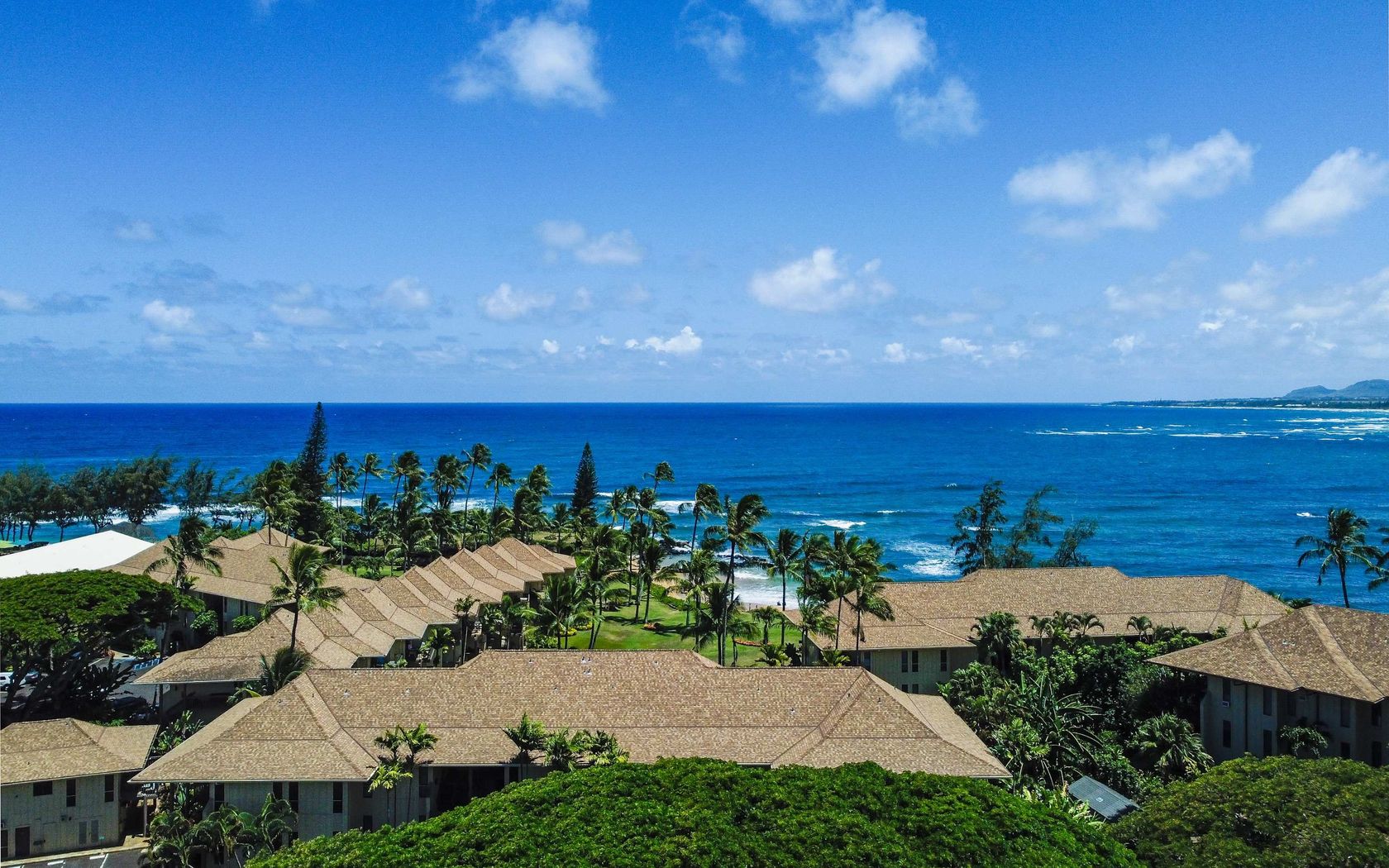
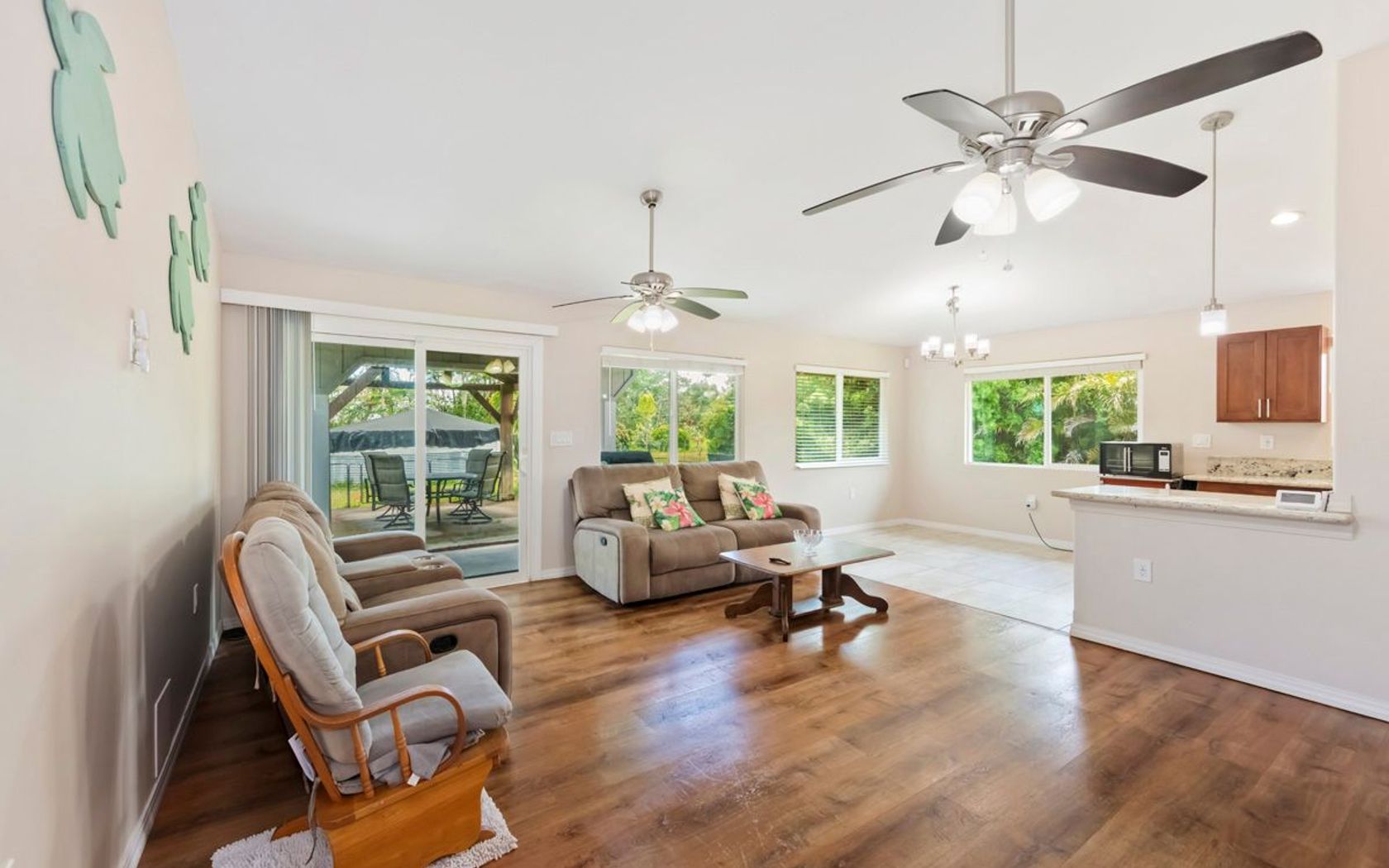
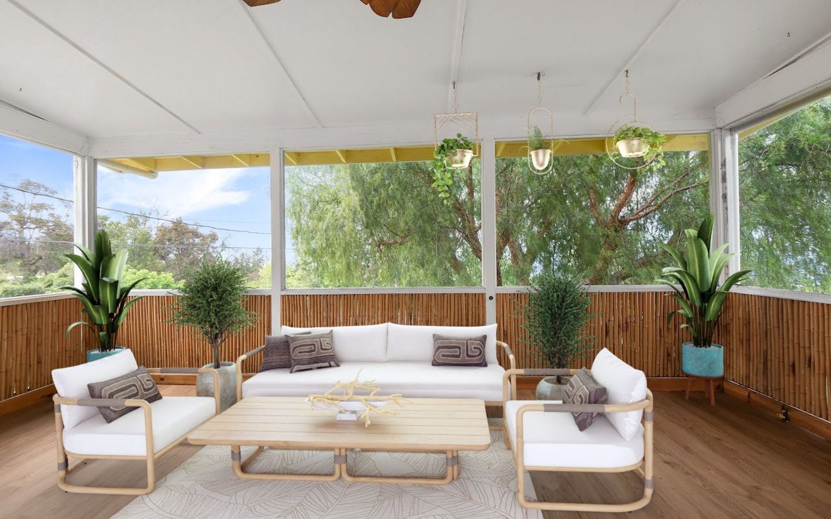
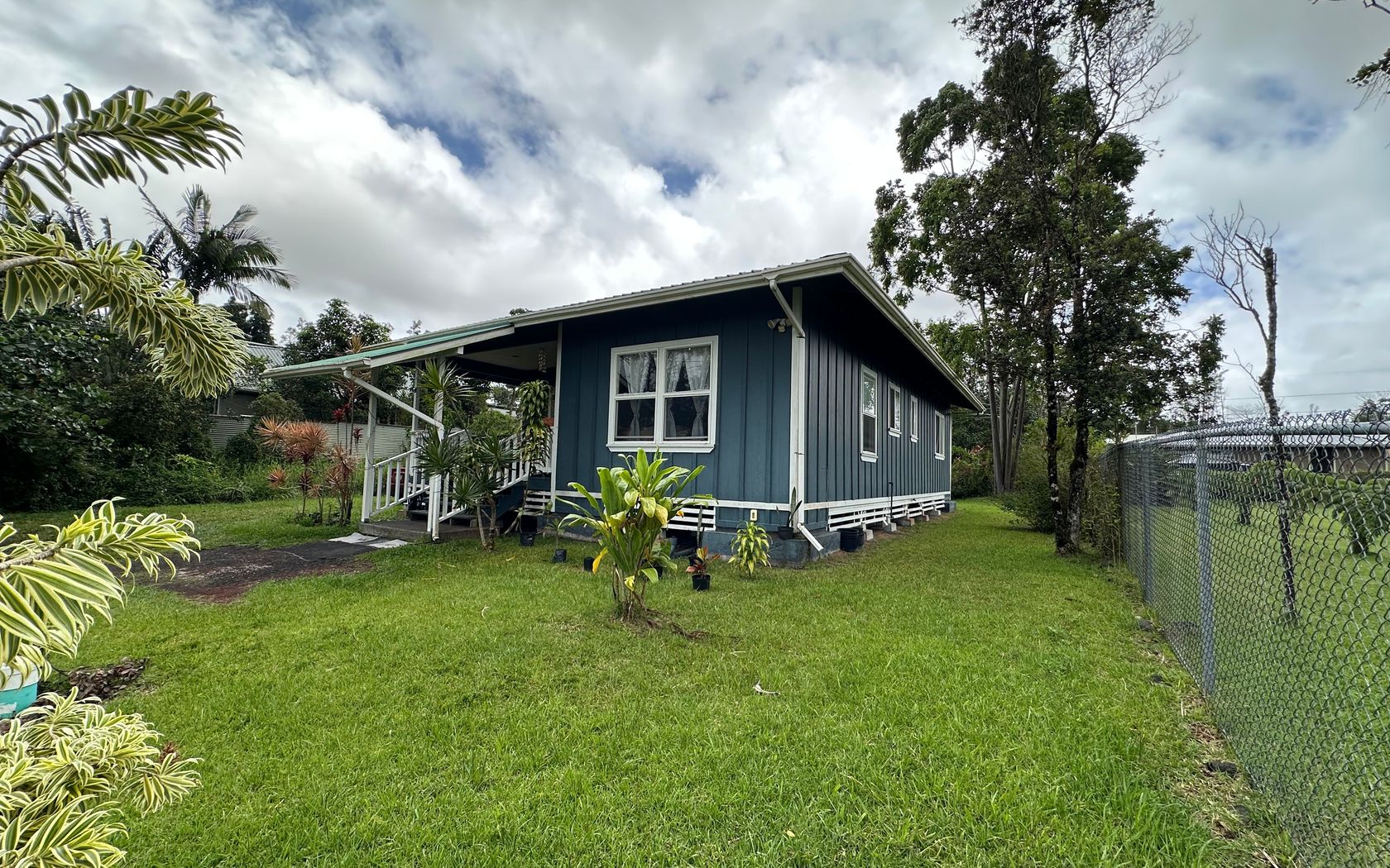
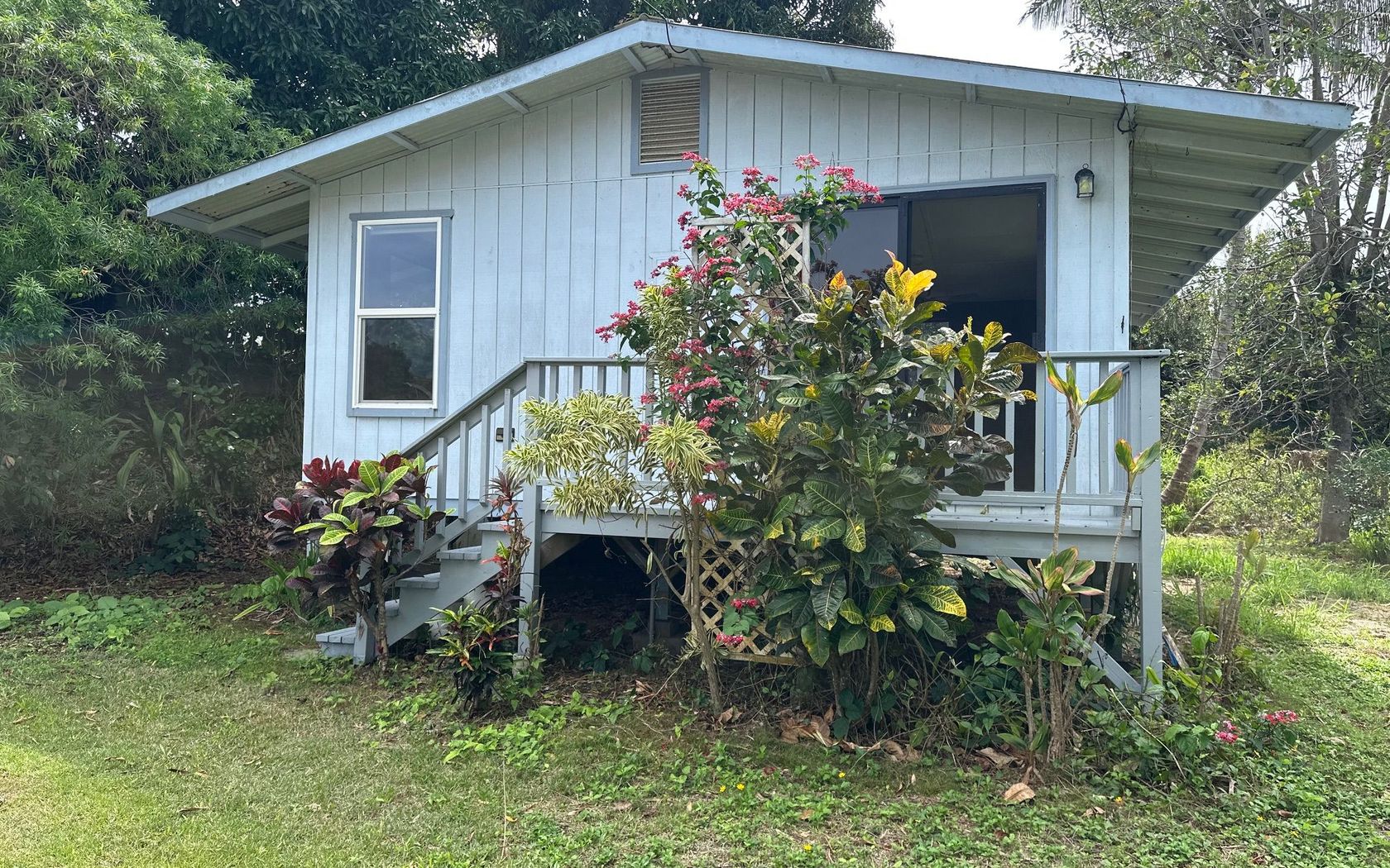
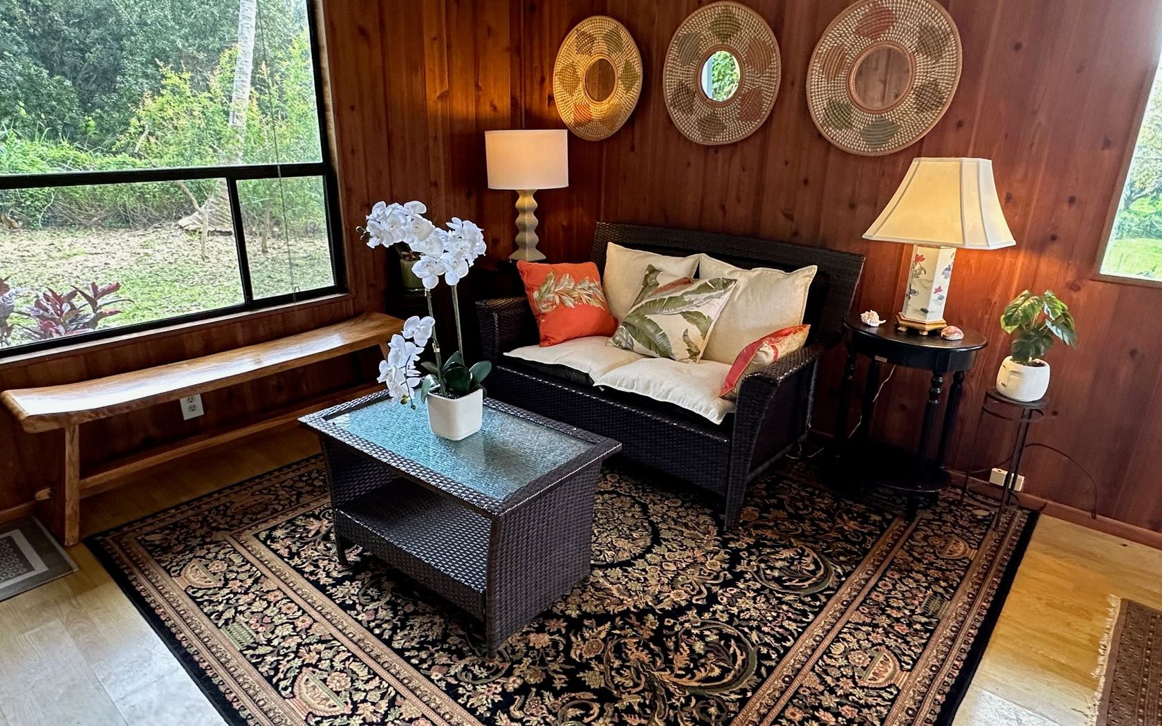
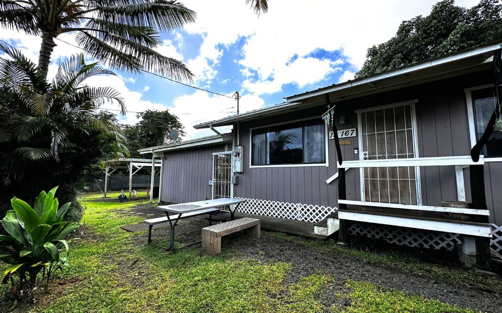
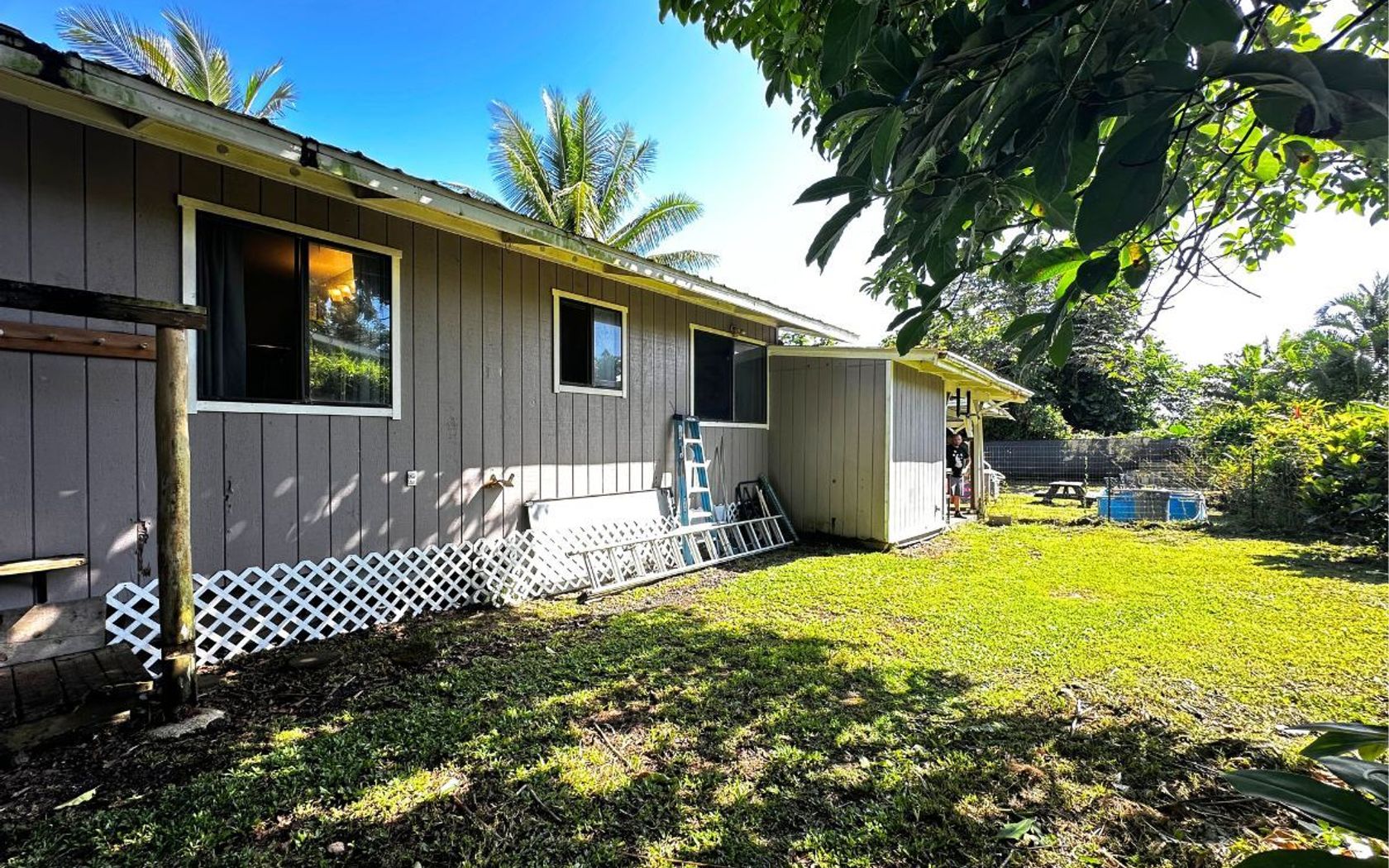
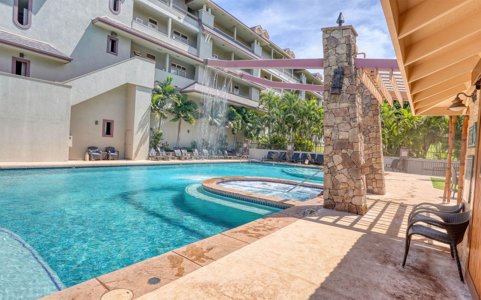
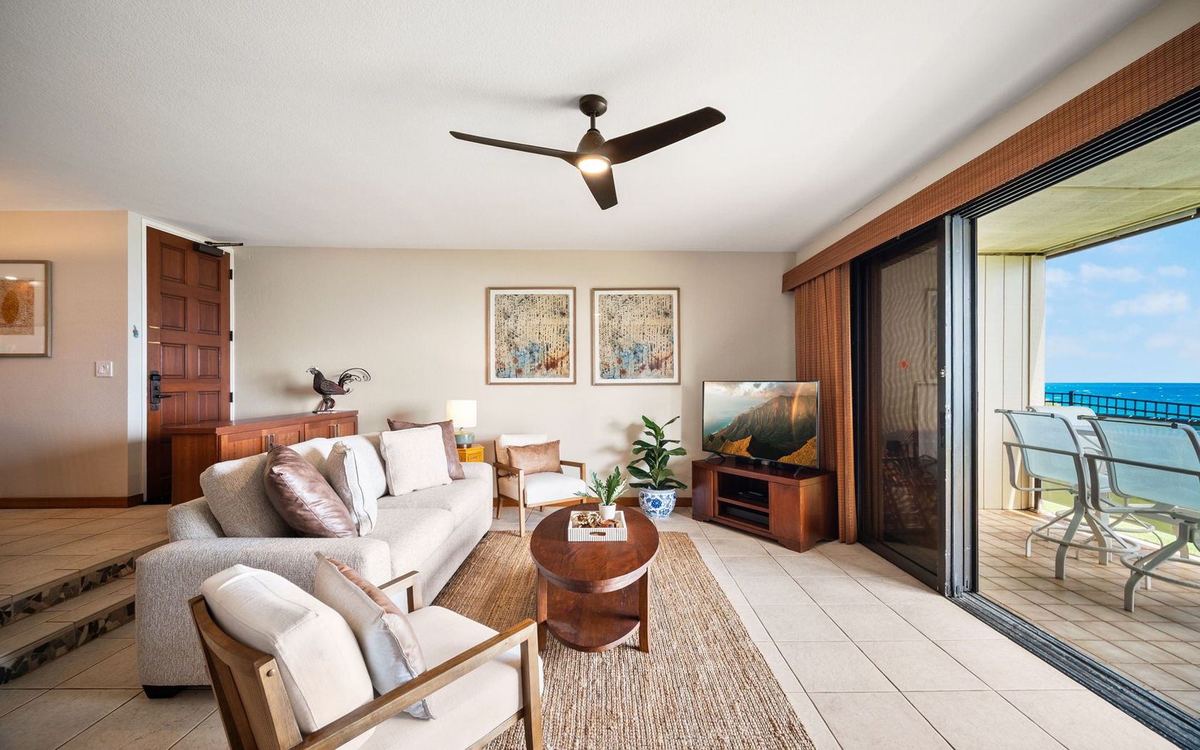
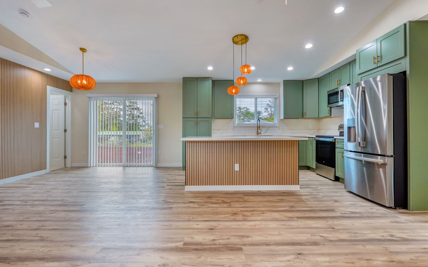
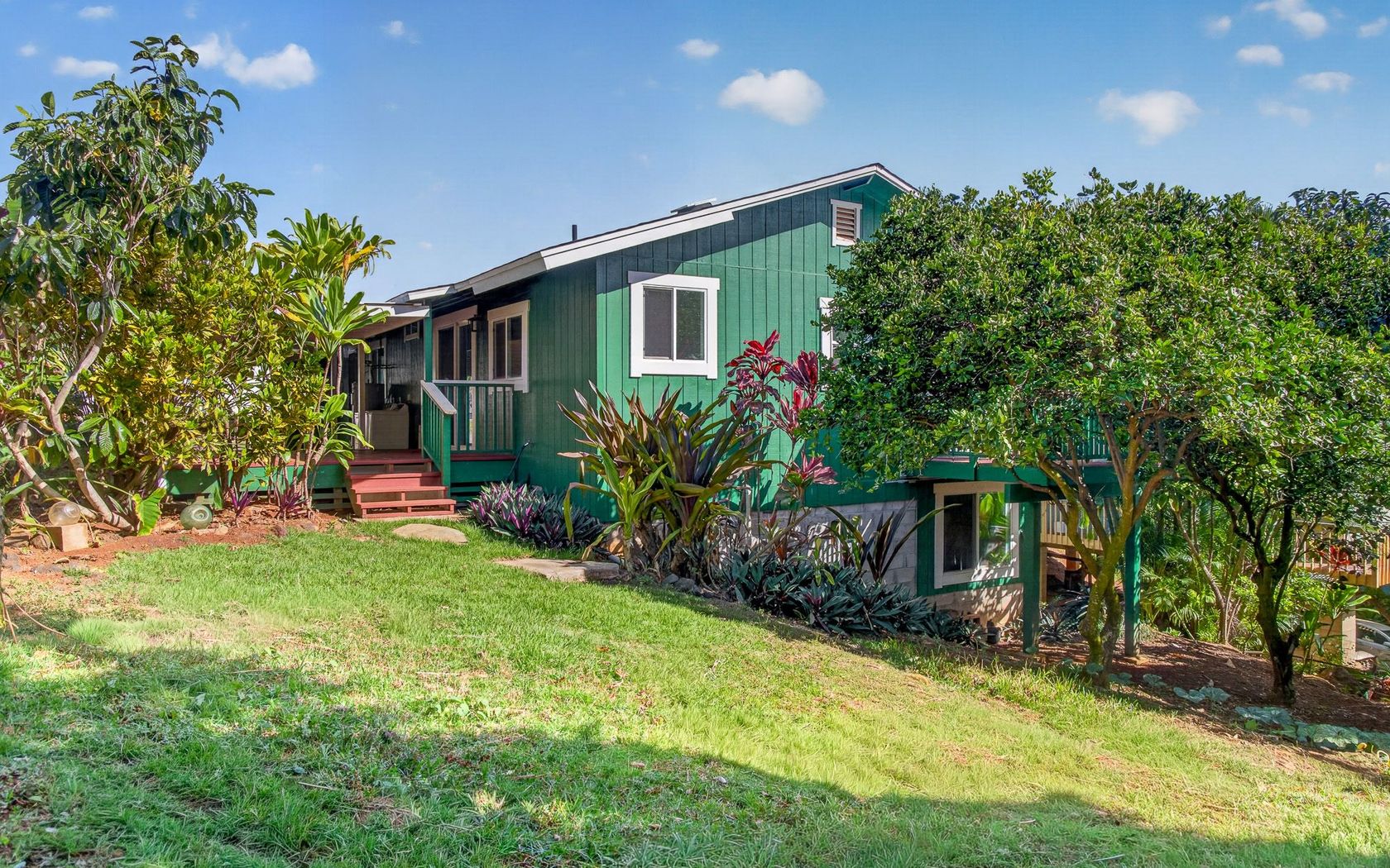
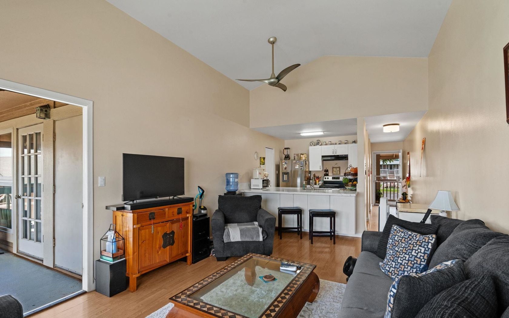
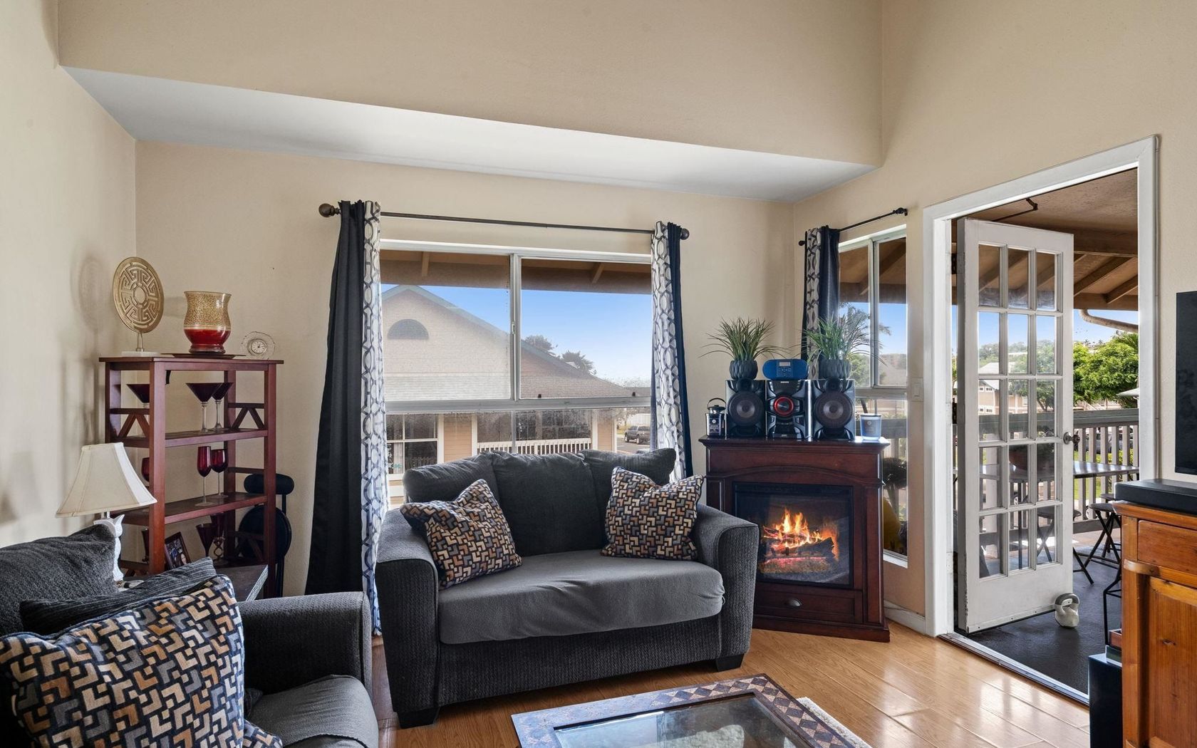
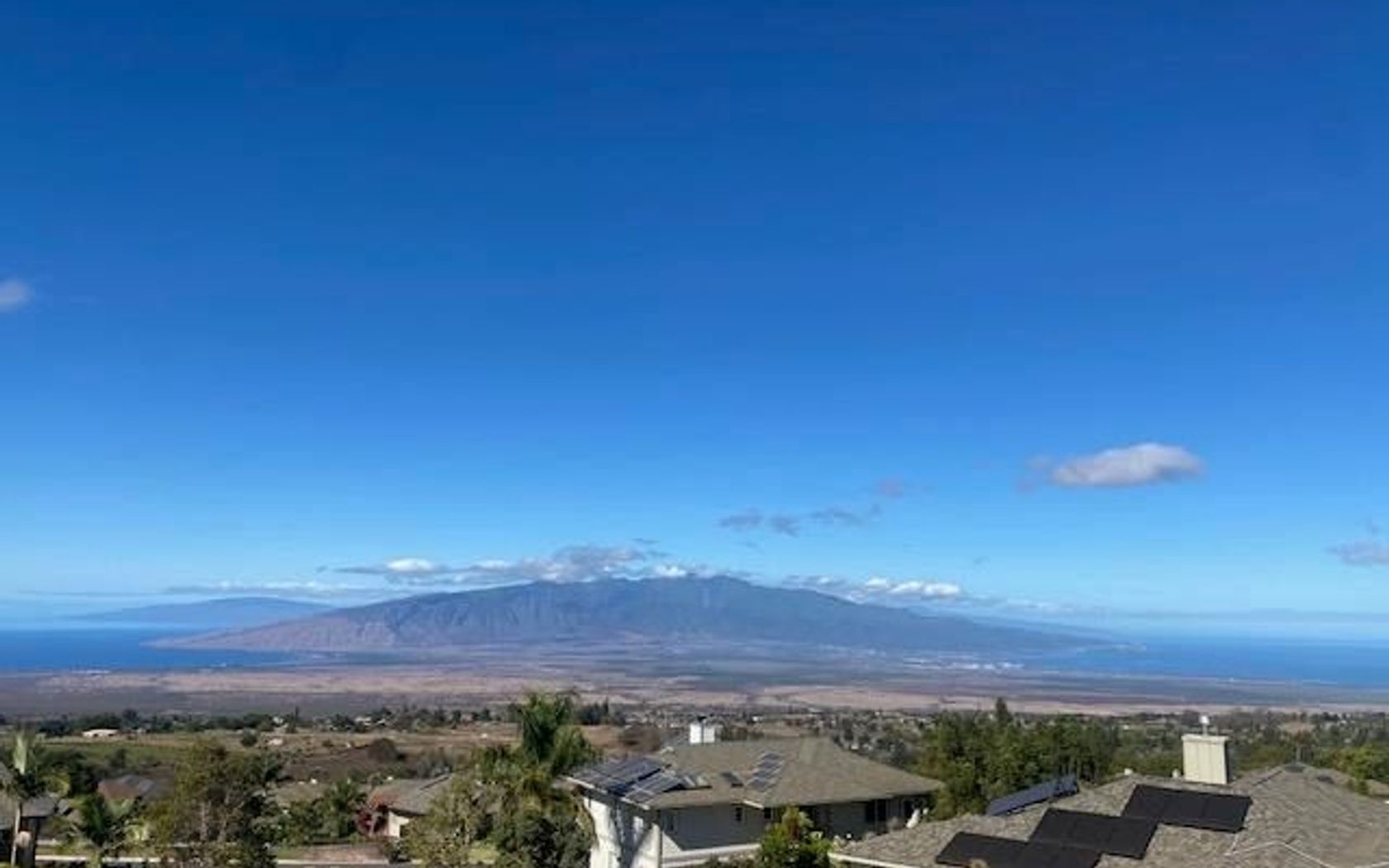
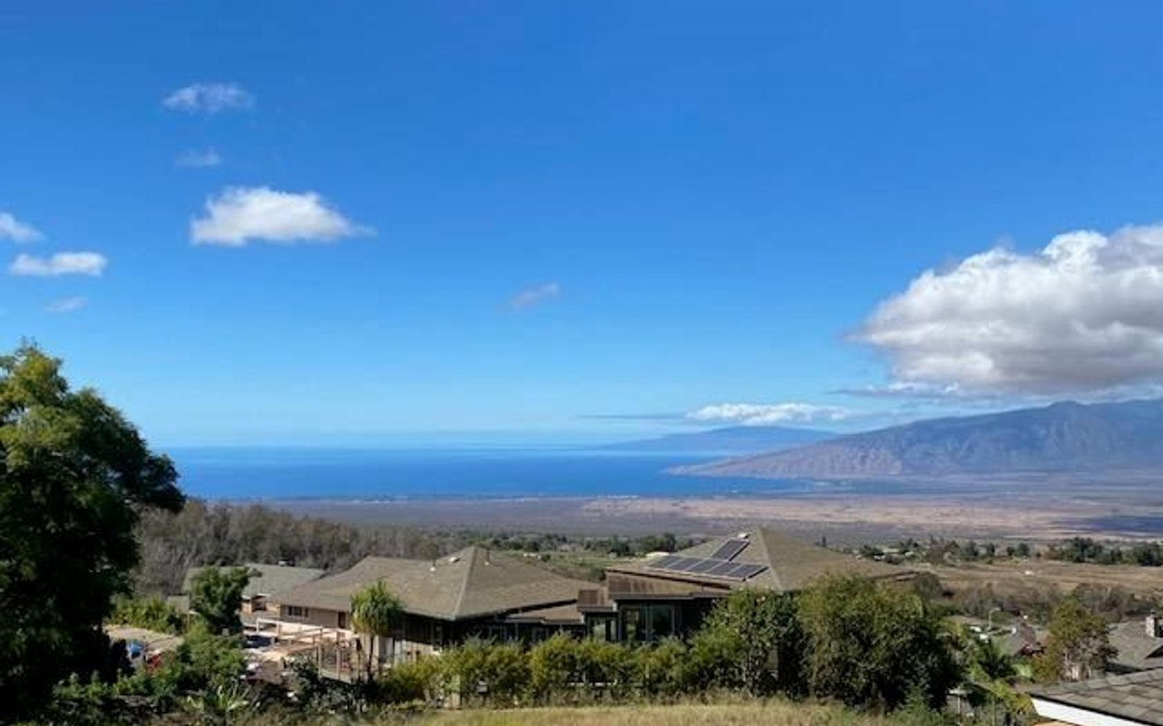
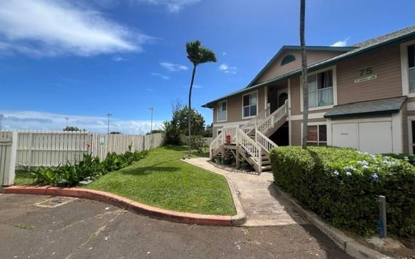
House in Waikapu in Wailuku Maui
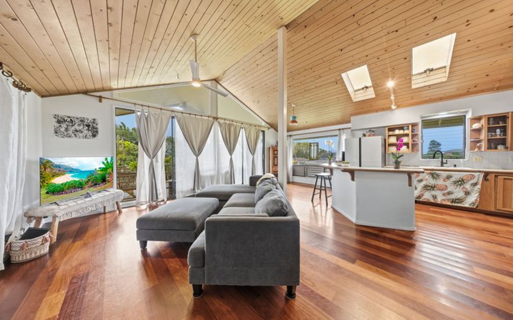
Fresh on Market
1 day ago
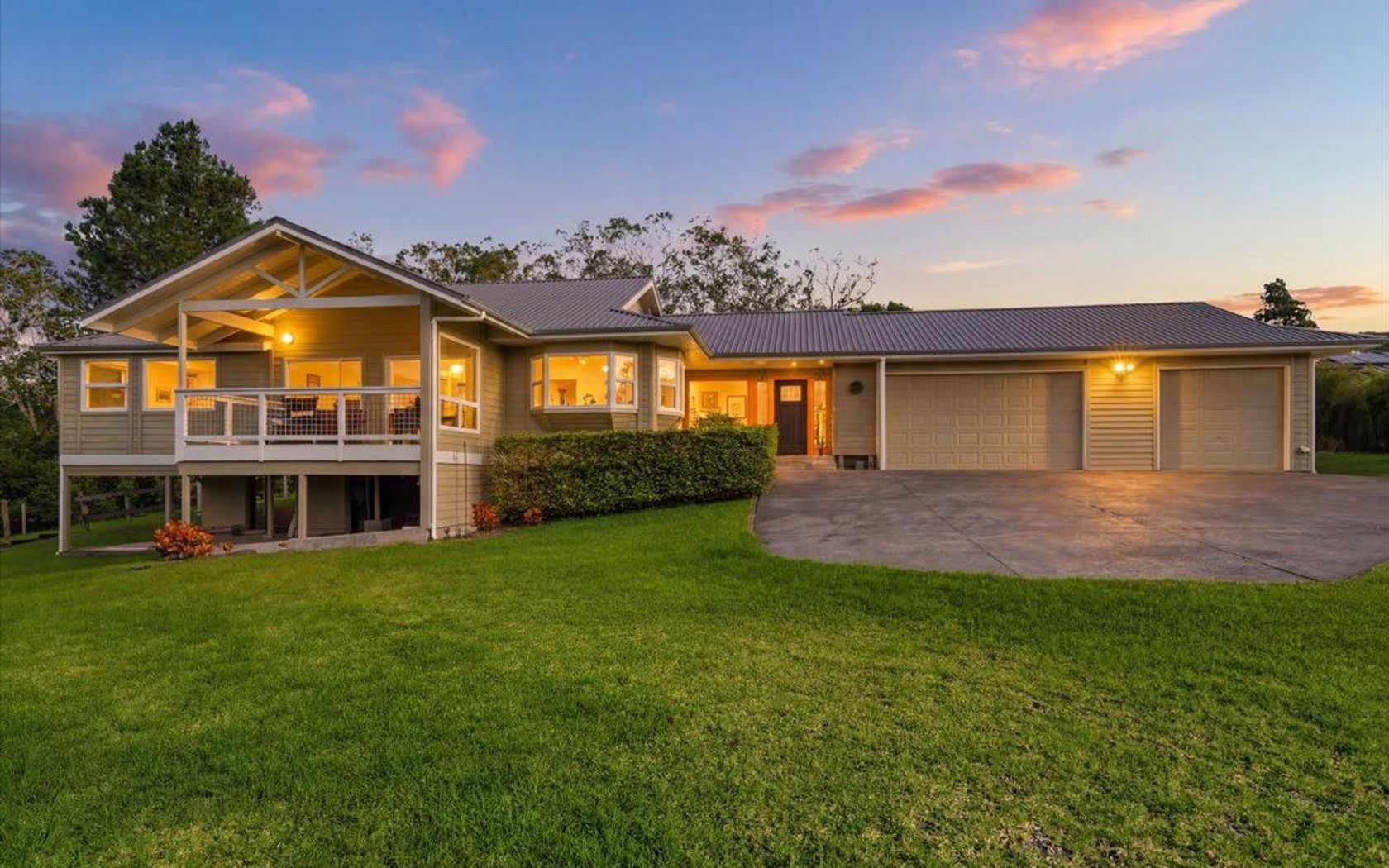
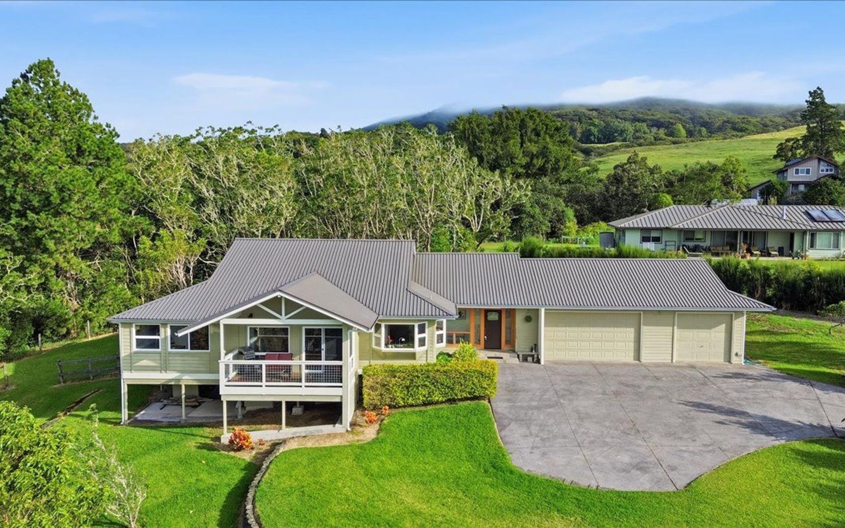
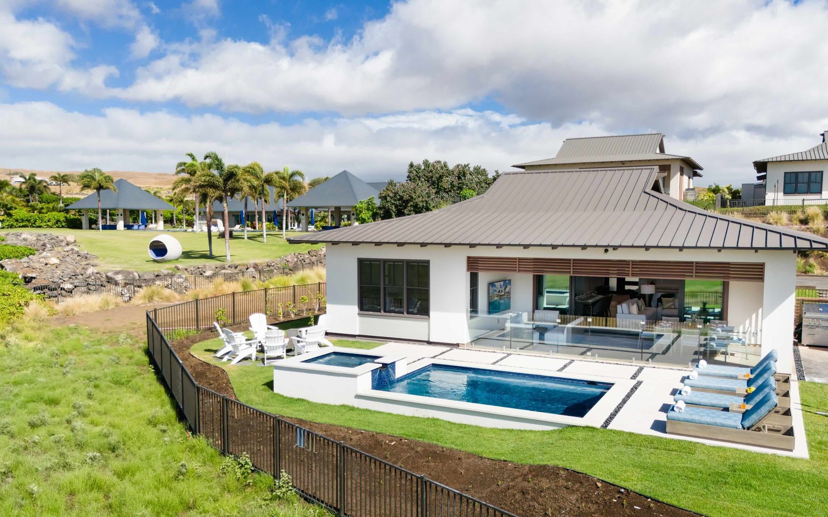
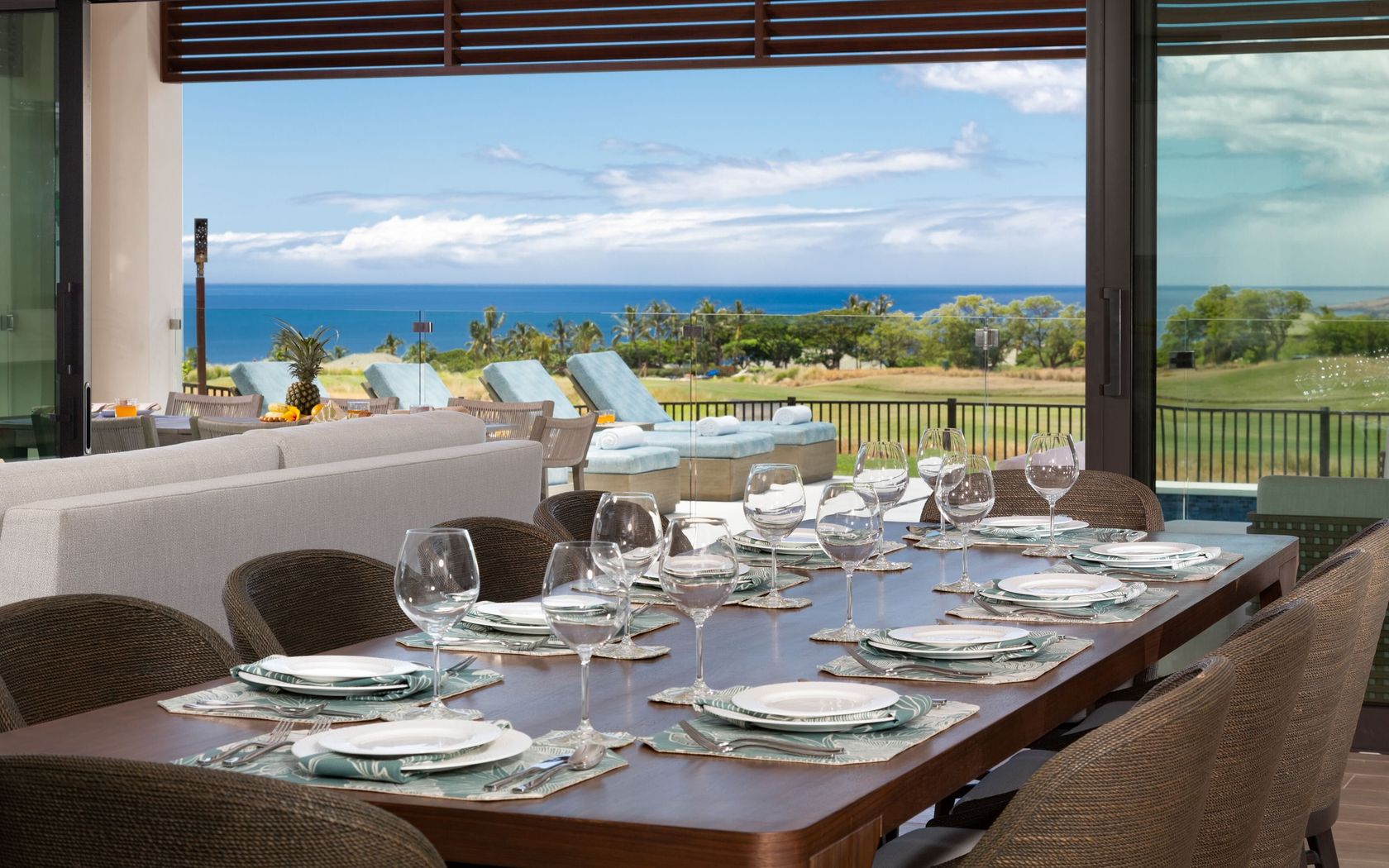
$45,000,000
Fee Simple
Active
8
bed
7.5
bath
7,510
sf
1.21
acres
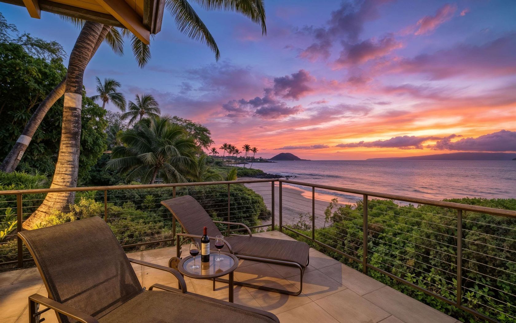
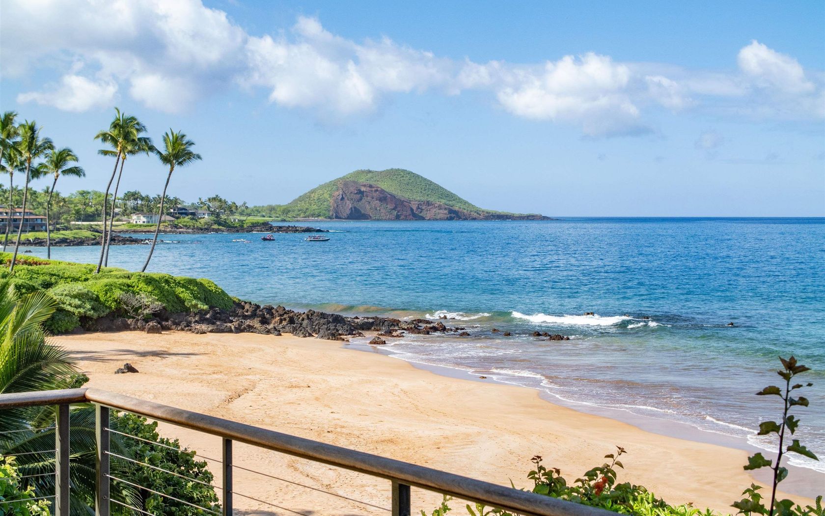
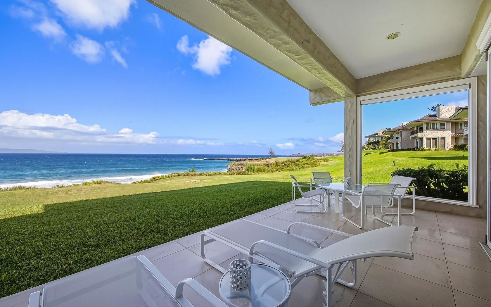
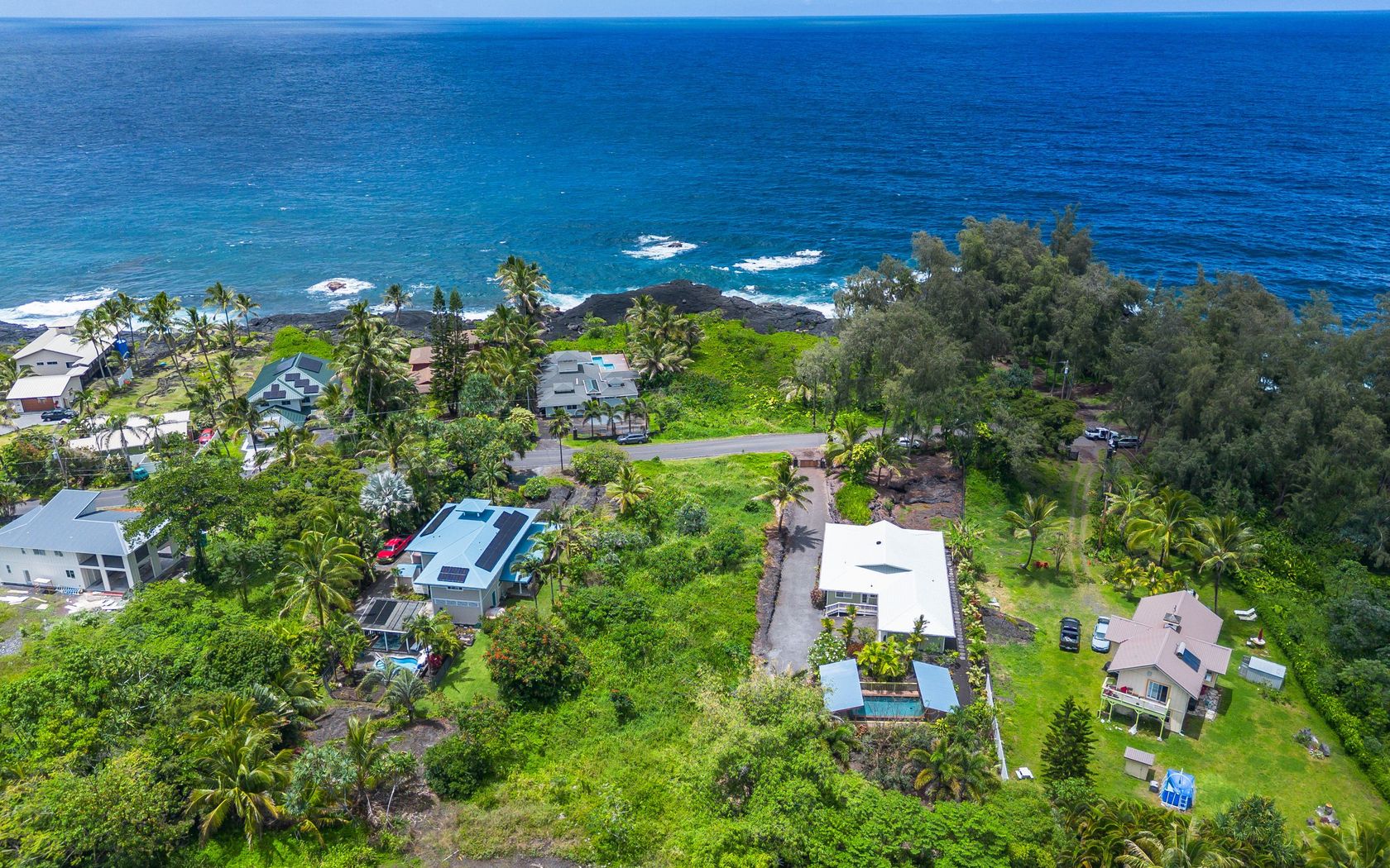
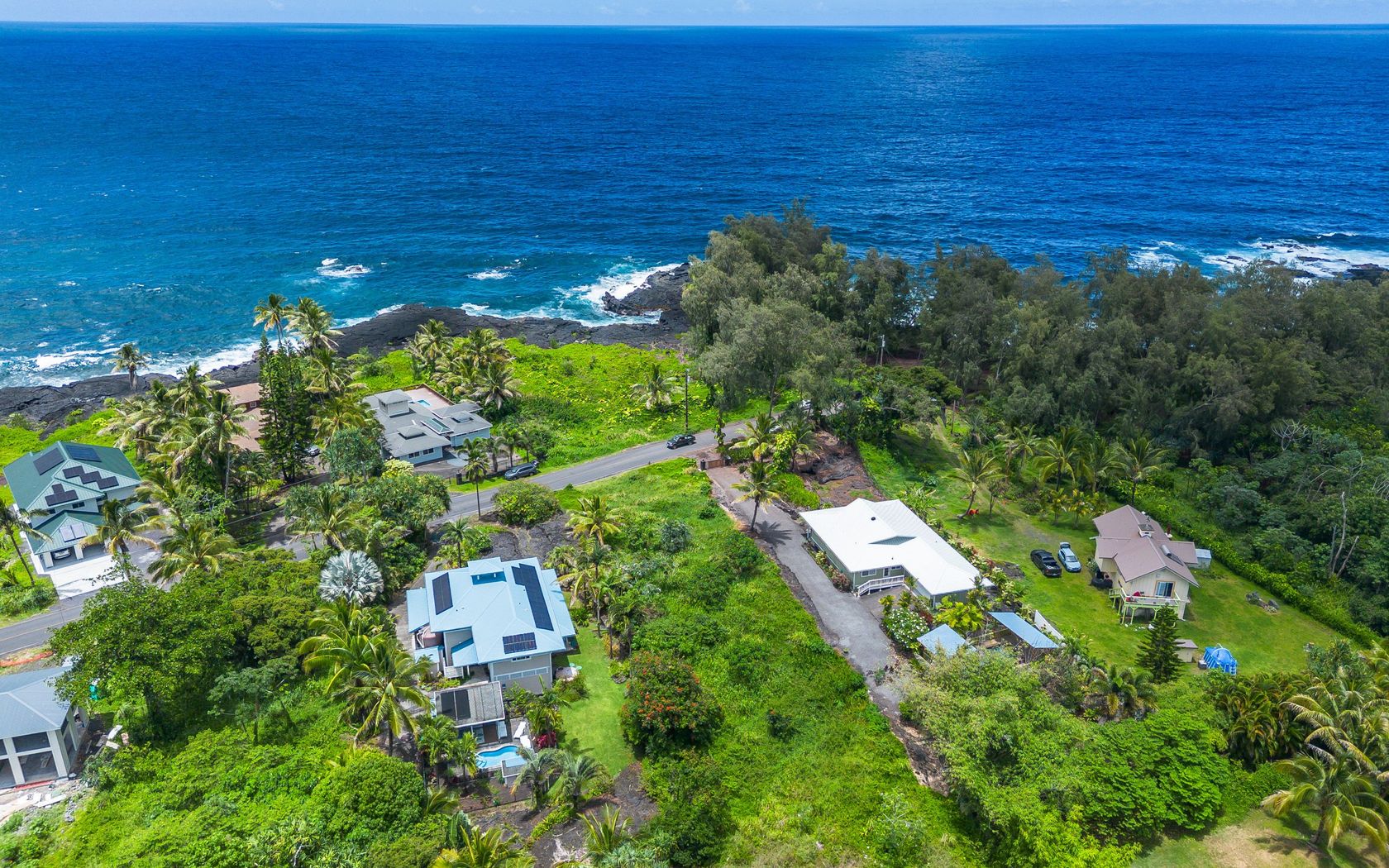
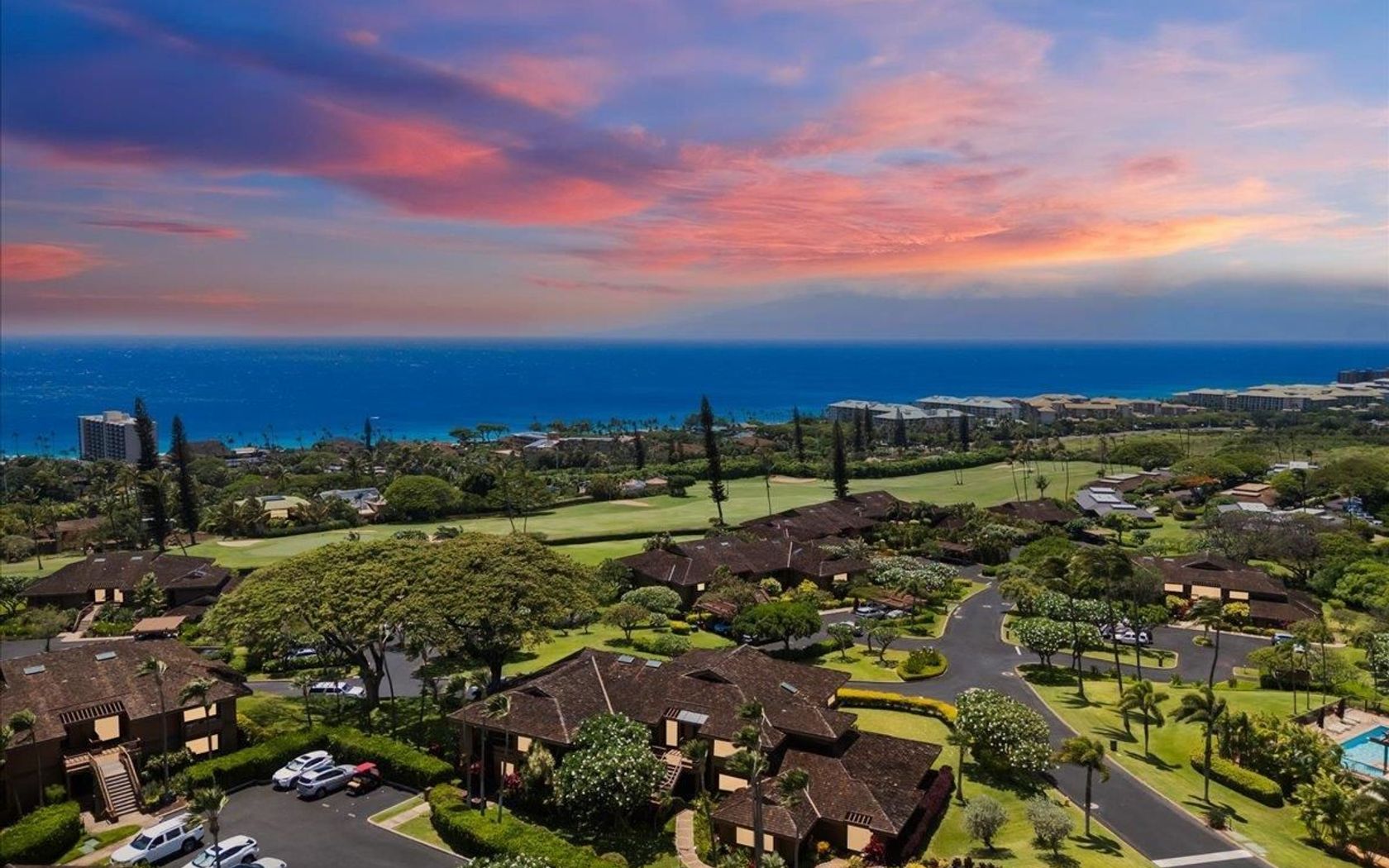
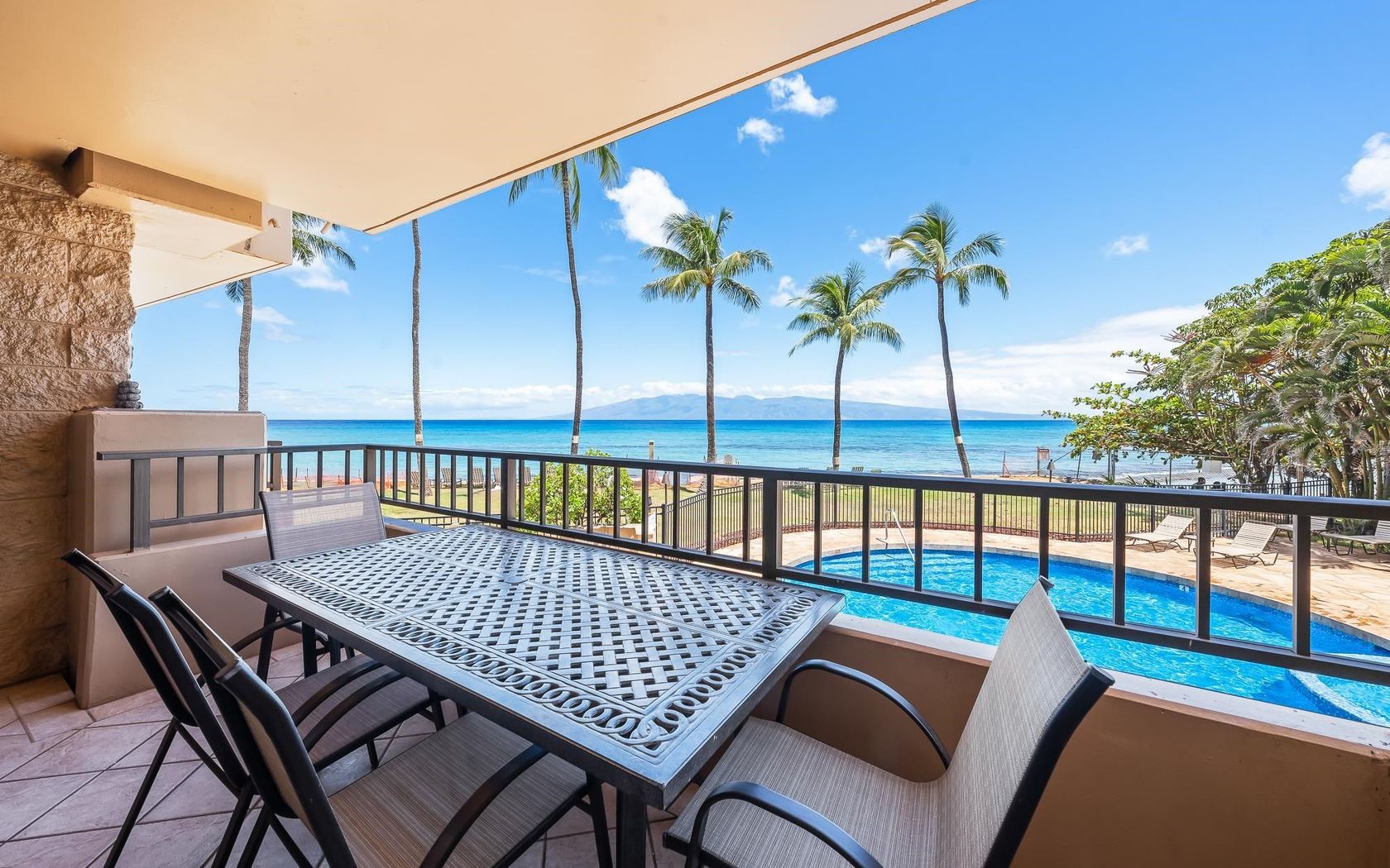
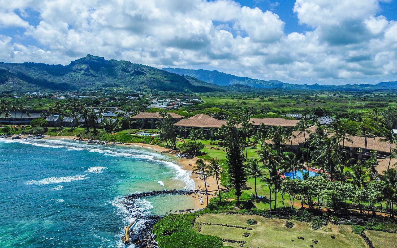
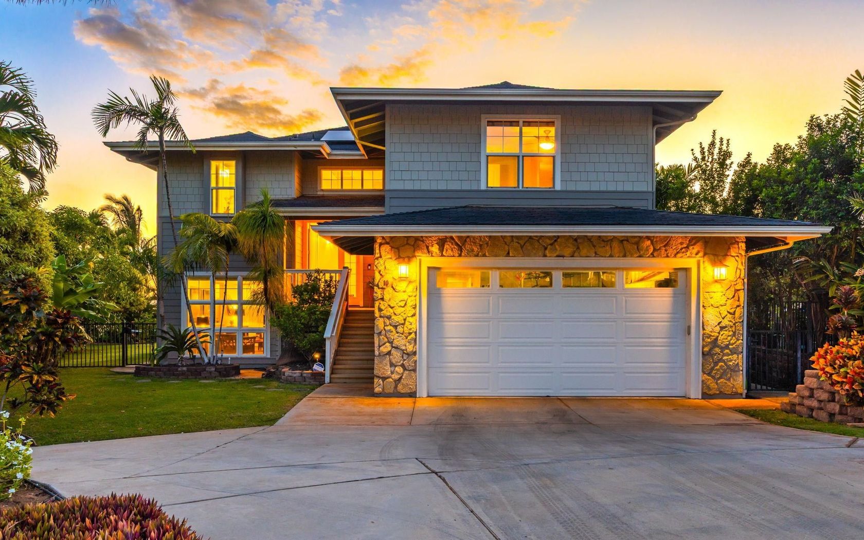
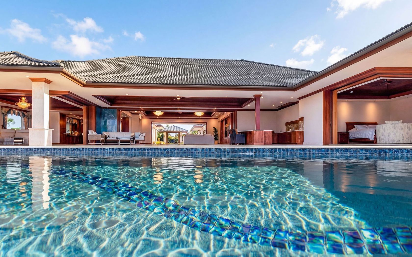
House in Makena Maui
Fresh on Market
2 days ago
$358,000
Fee Simple
Active
Studio
1
bath
417
sf
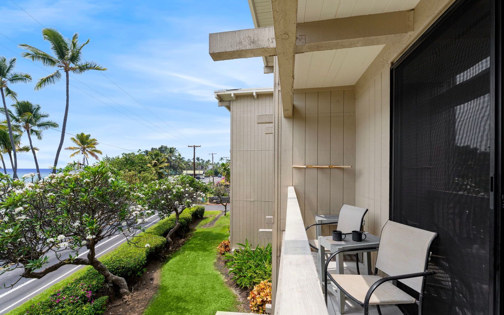
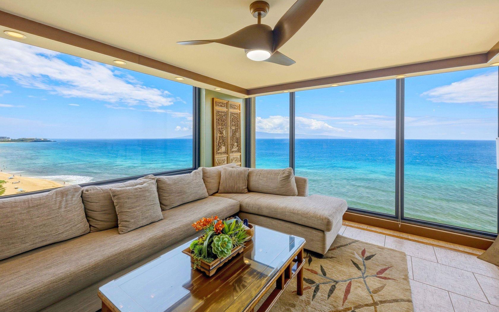
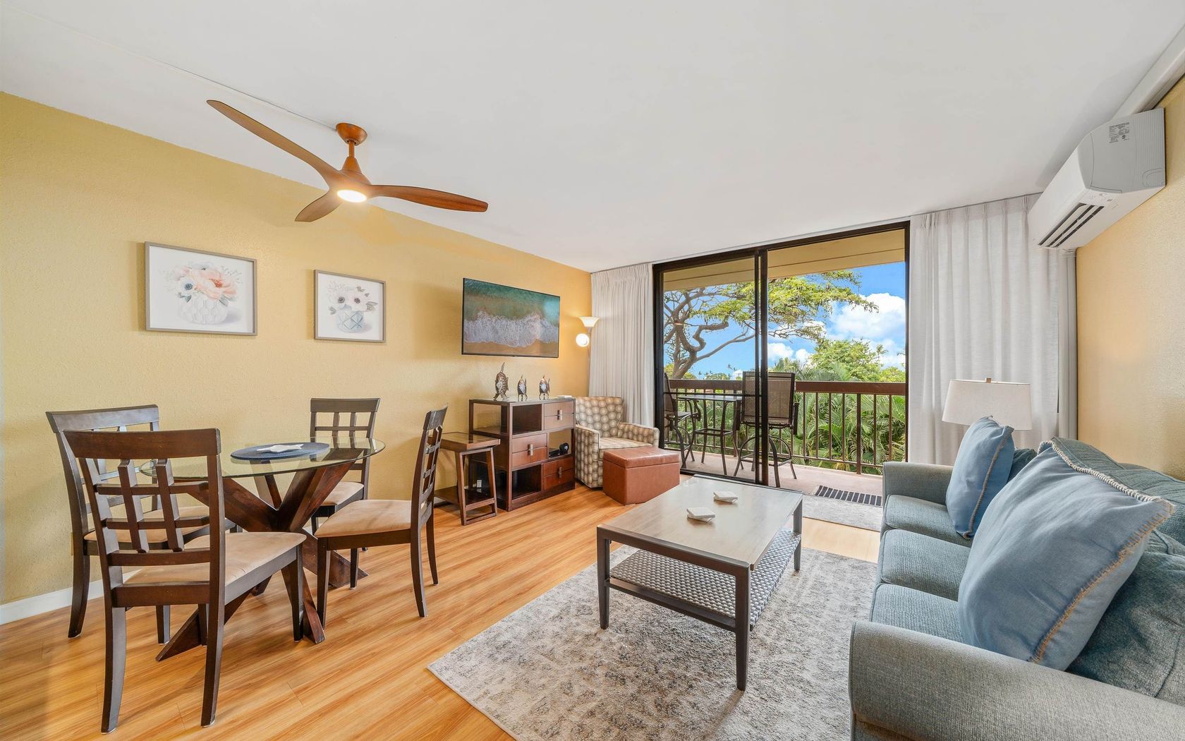
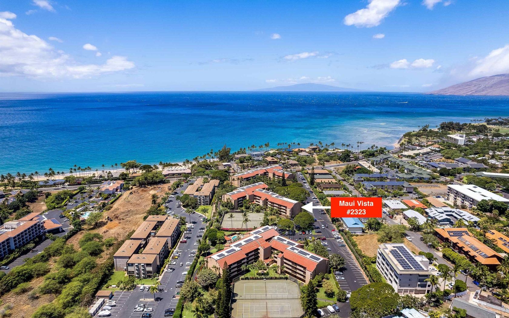
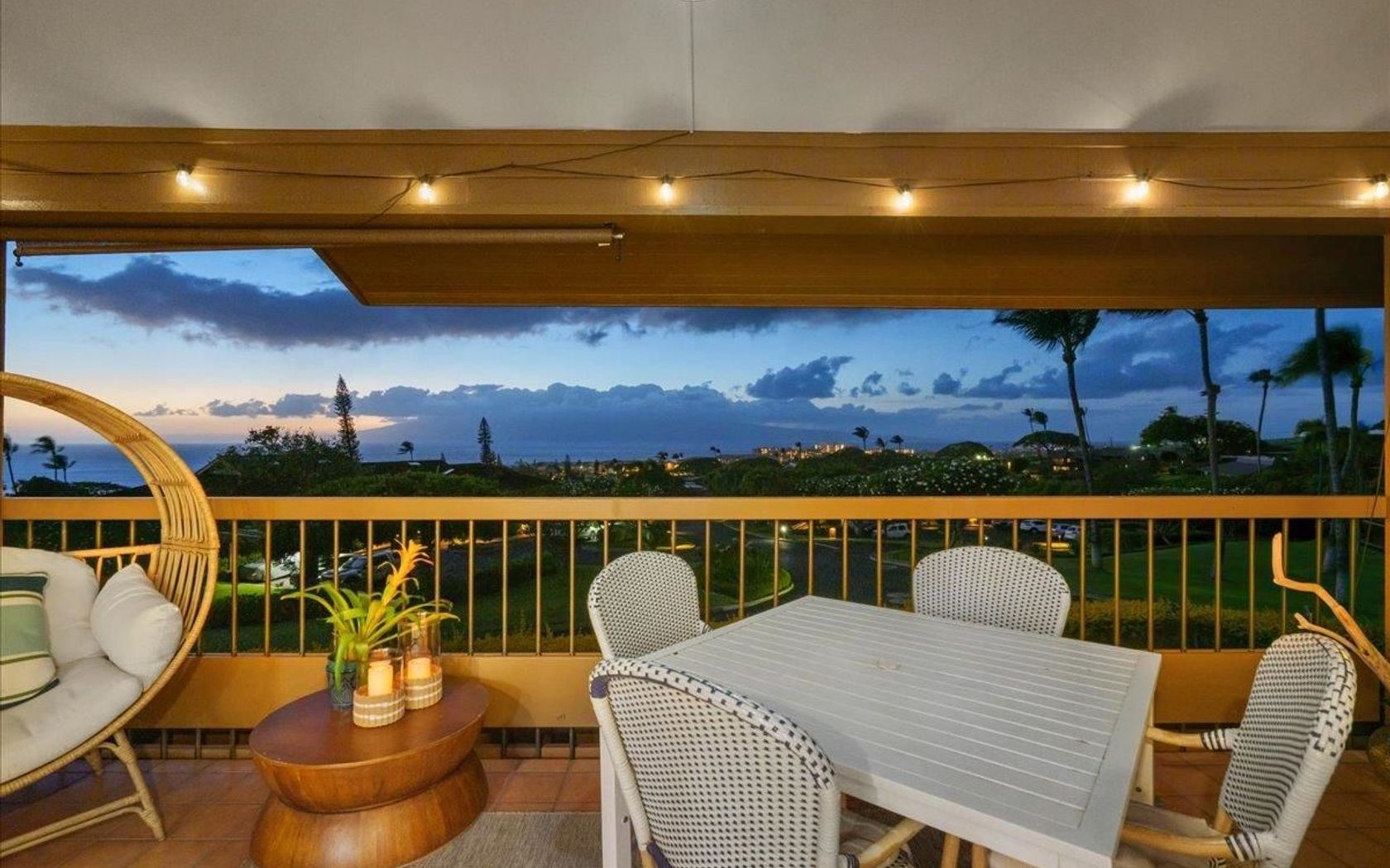
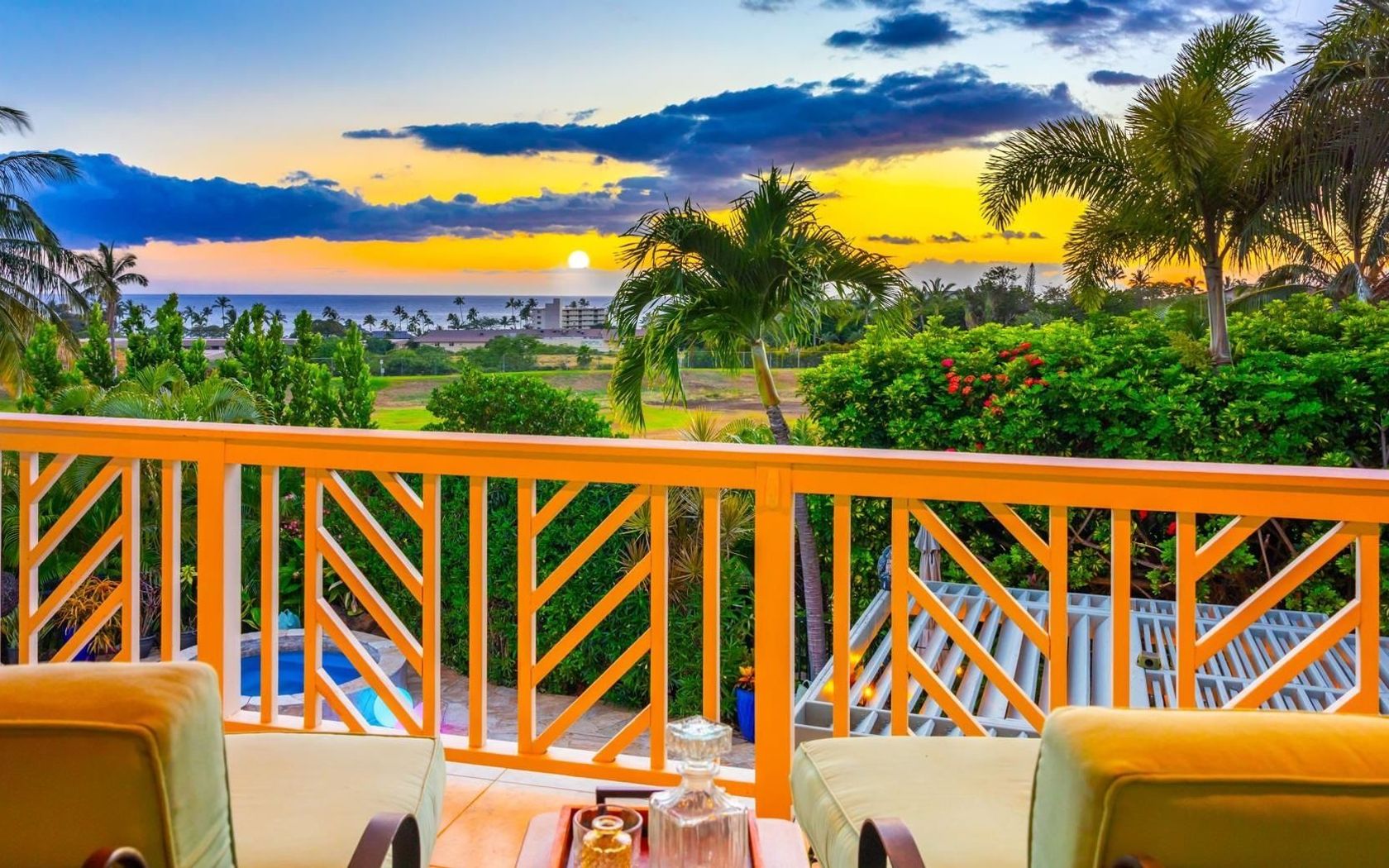
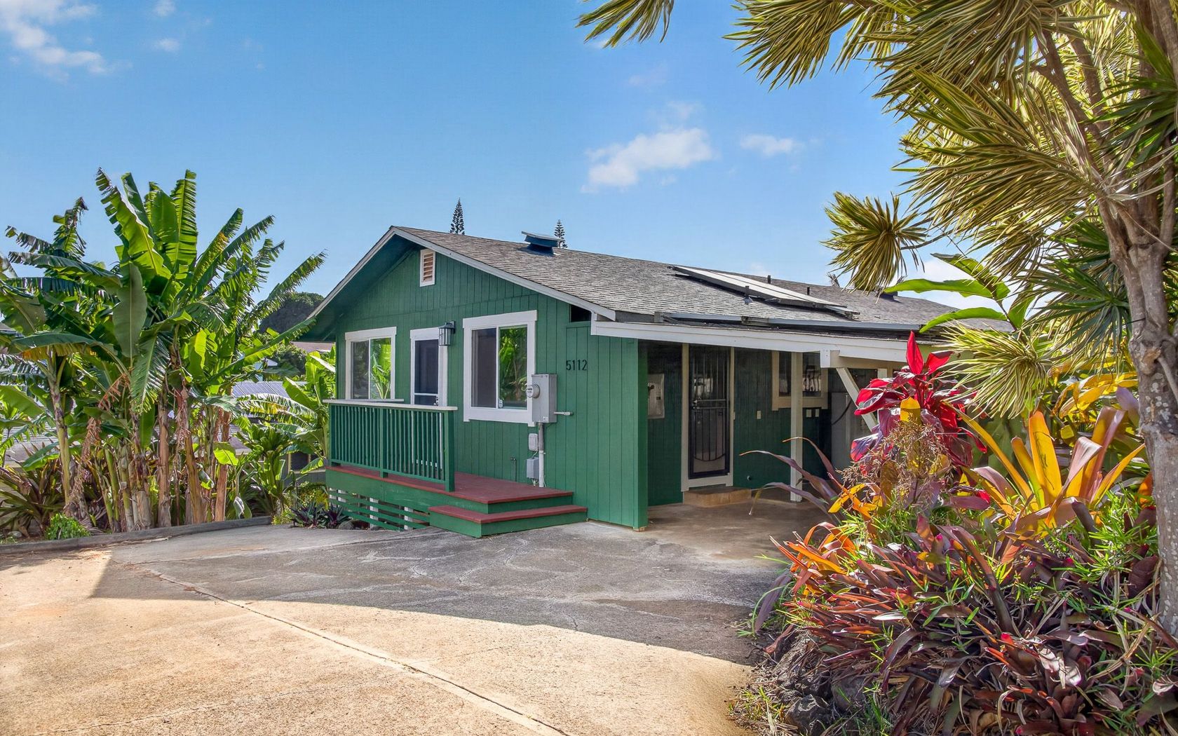
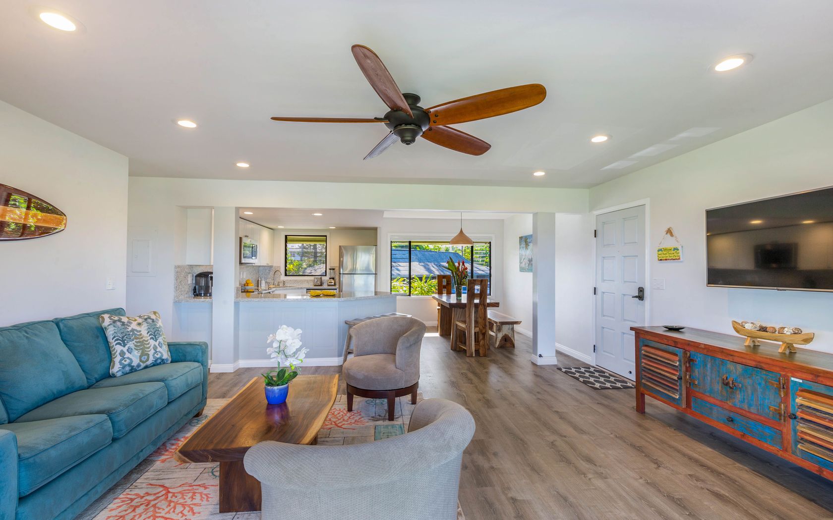
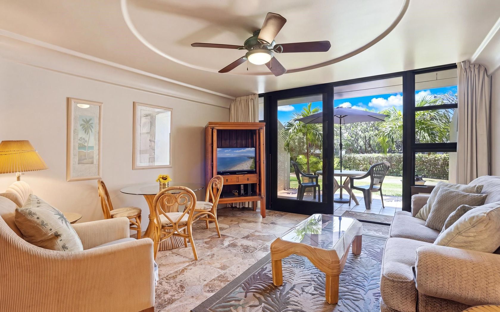
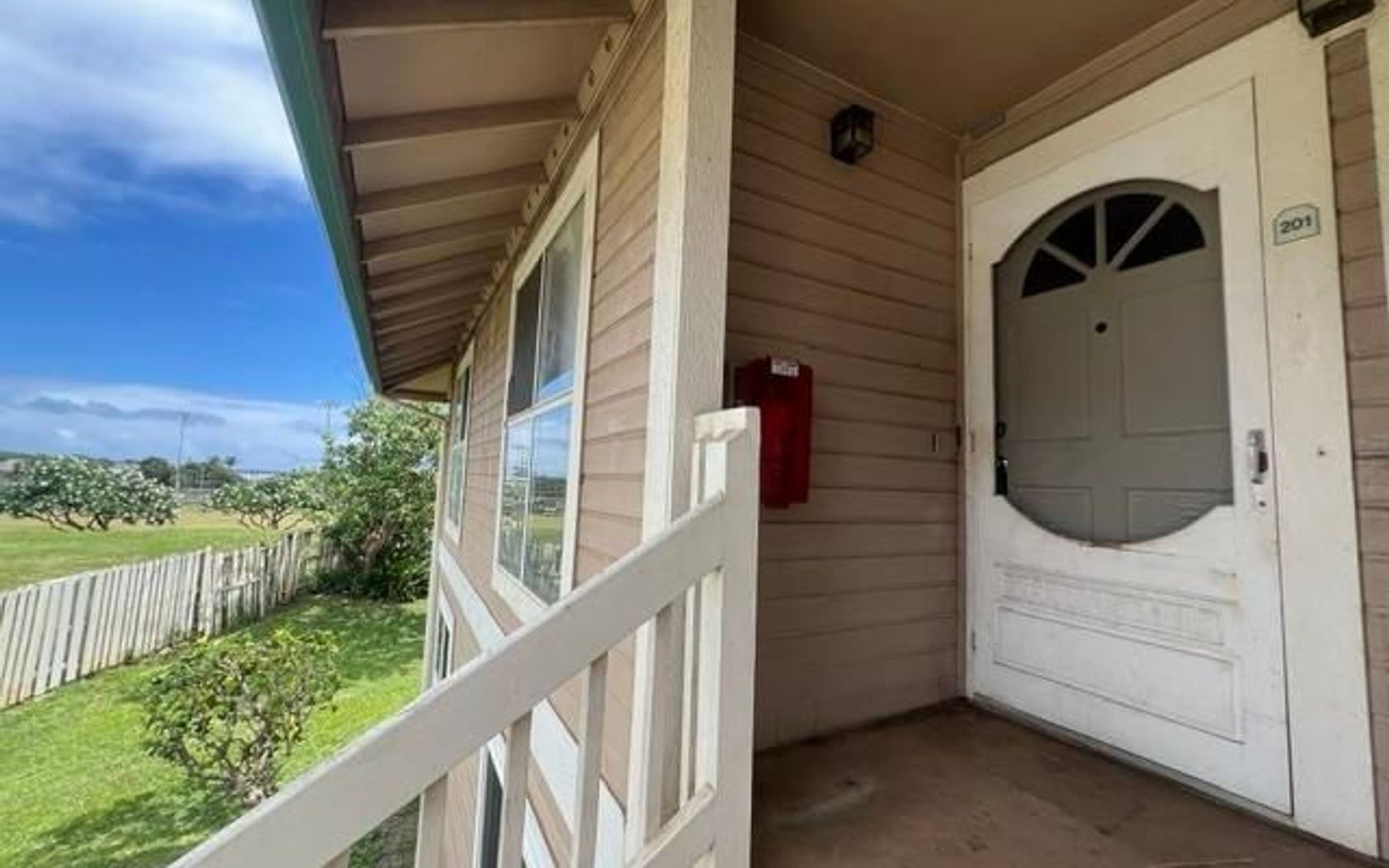
Condo in Holualoa 3rd - Kaumalumalu in Kailua-Kona Big Island
$525,000
Fee Simple
Active
1
bed
1
bath
588
sf
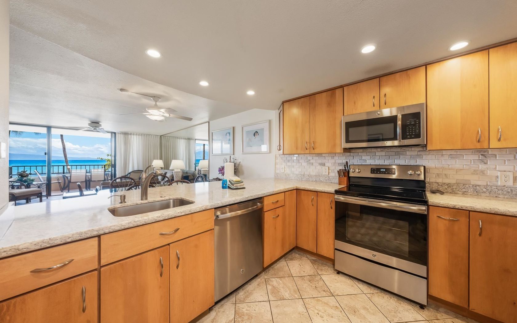
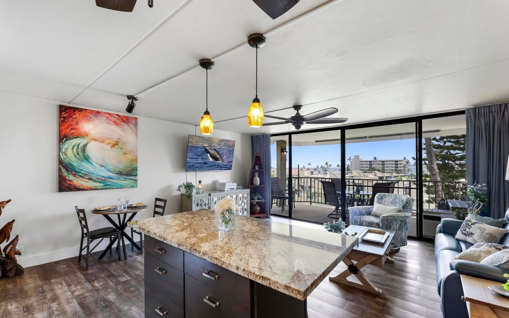
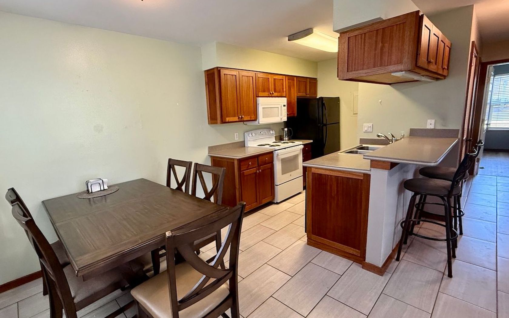
Condo in South Kihei in Kihei Maui
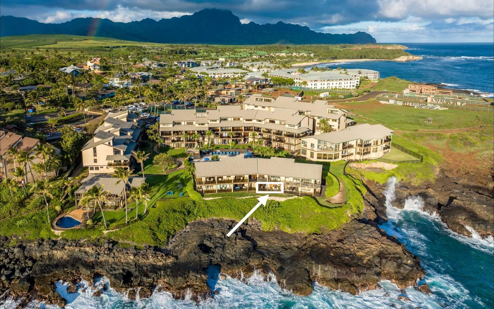
$1,400,000
Fee Simple
Active
0.35
acres
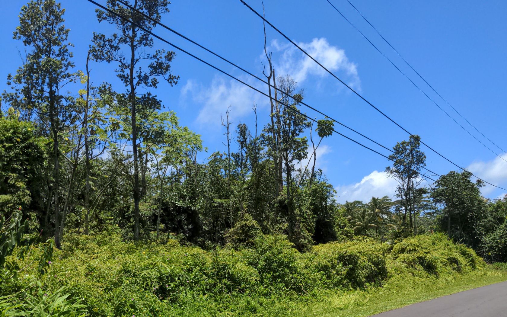
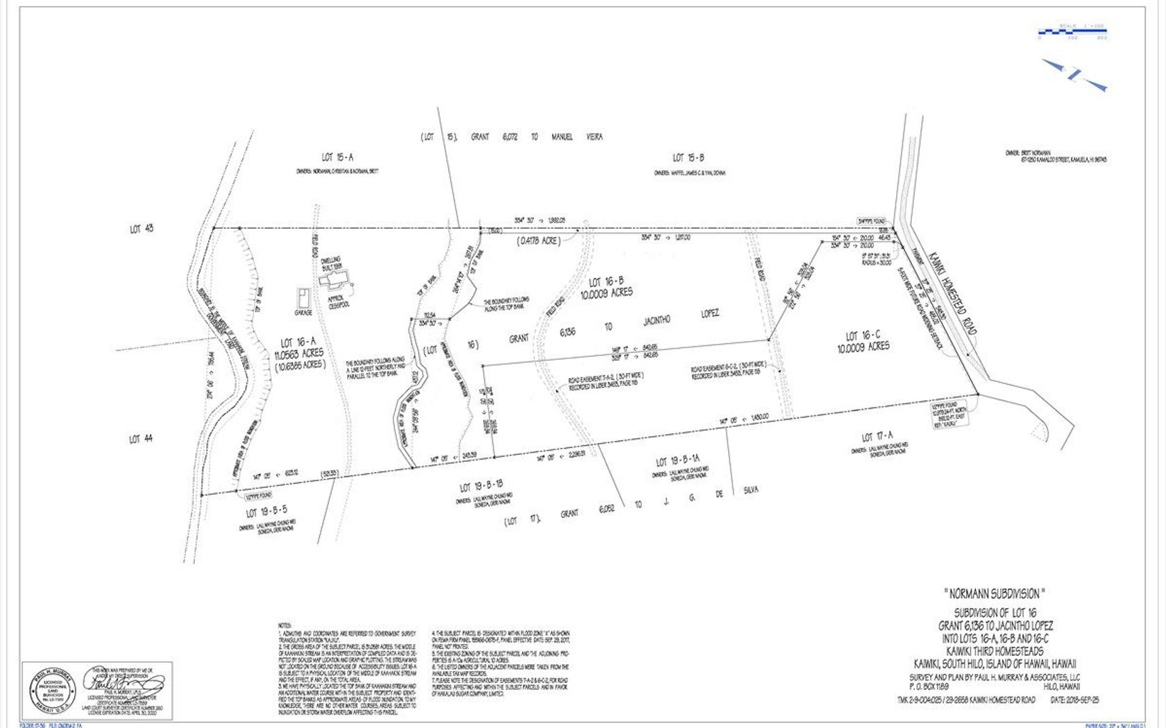
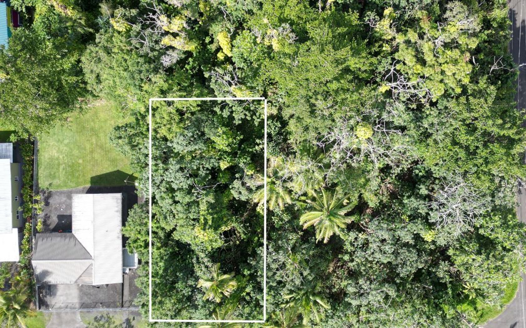
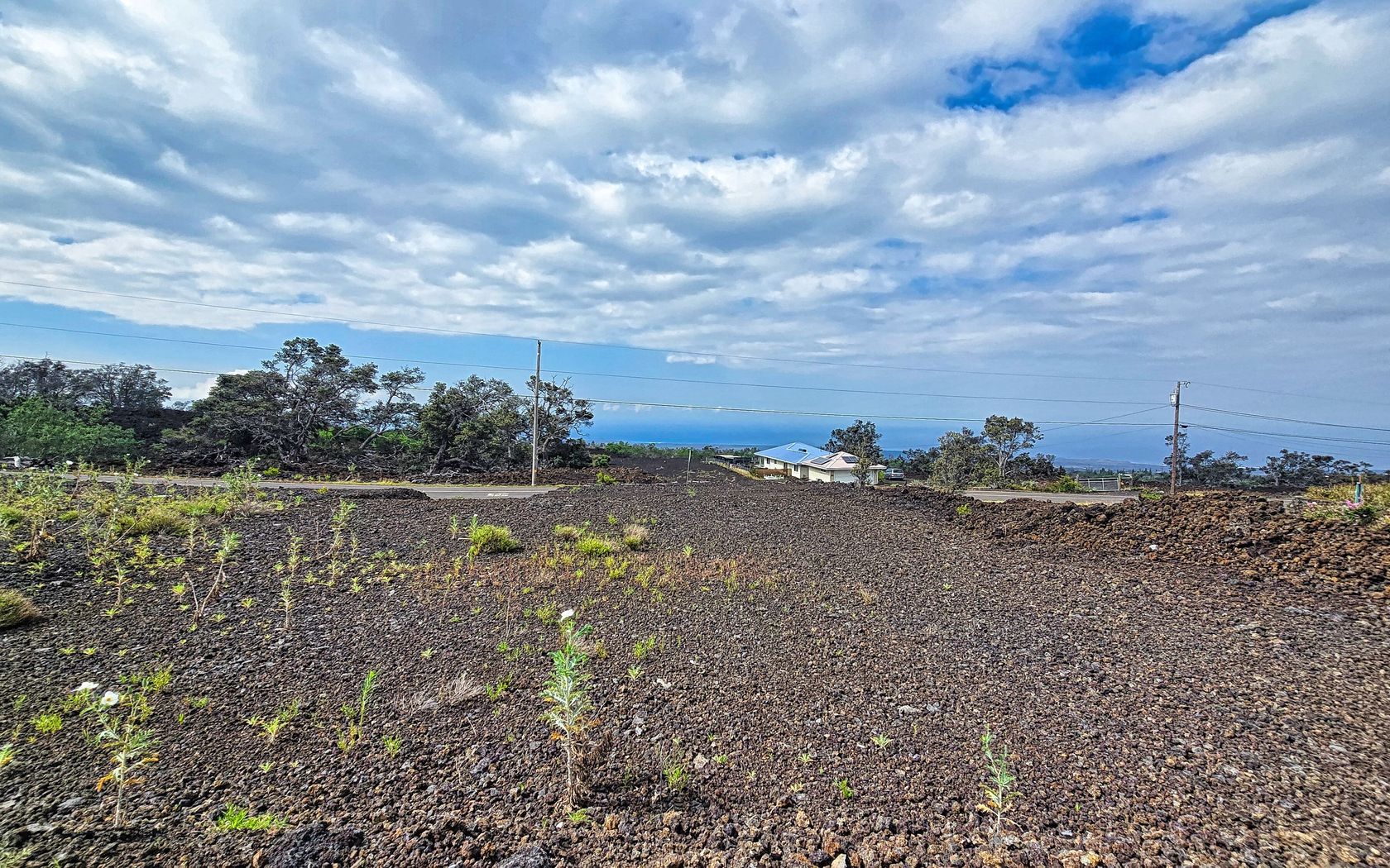
Land in Poipu Kauai
$1,799,000
Fee Simple
Active
3
bed
3
bath
2,022
sf
17
sq ft land
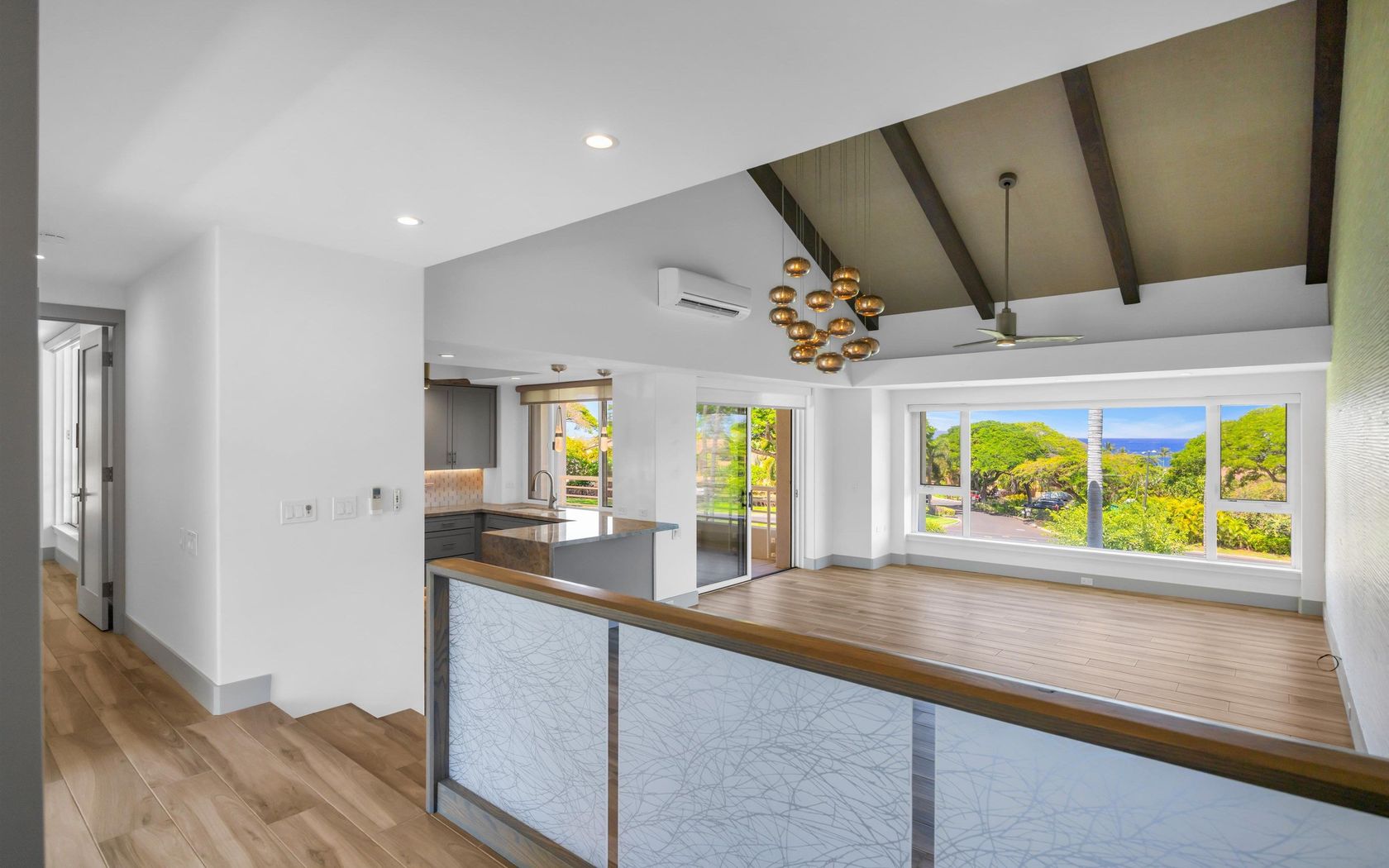
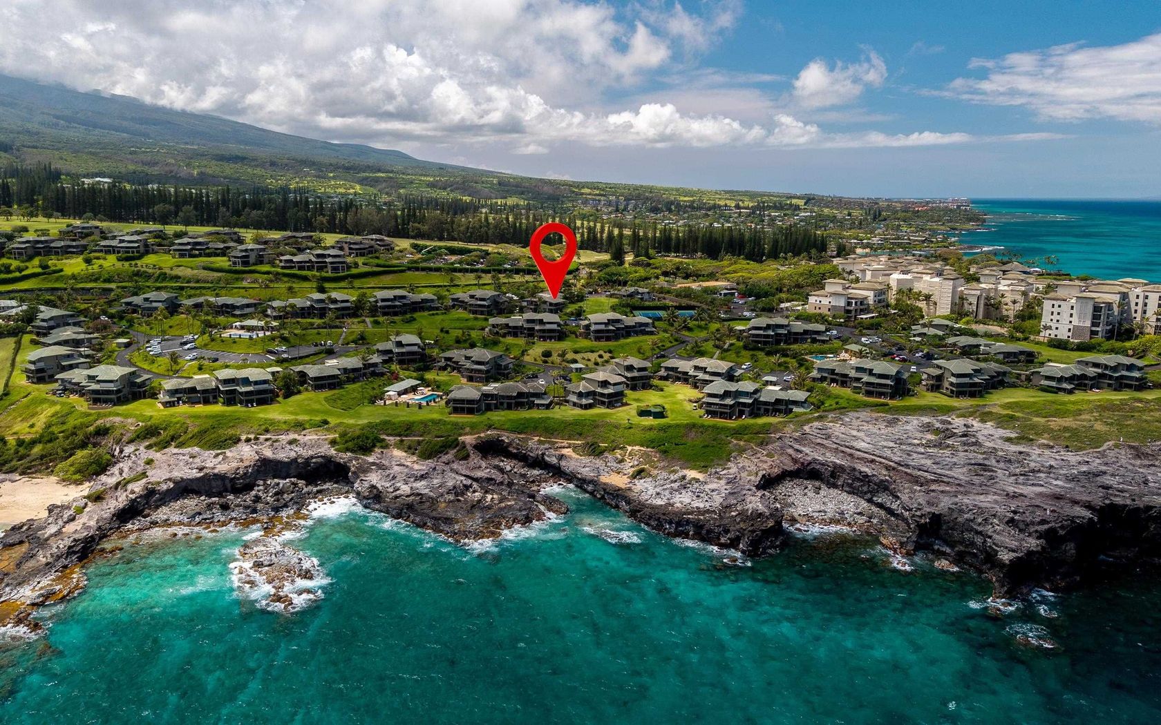
House in Vintage at Kaanapali in Kaanapali Maui
$350,000
Fee Simple
Active
0.51
acres
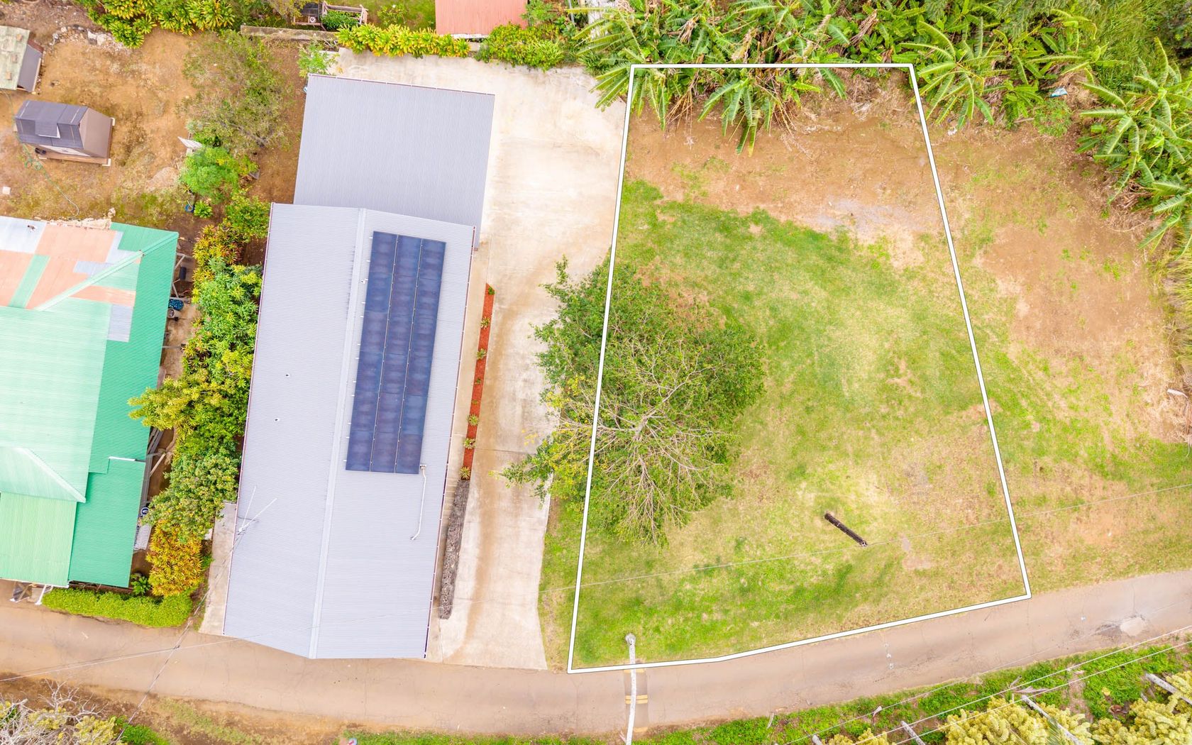
Land in Hawaiian Paradise Park in Keaau Big Island
$1,799,000
Fee Simple
Active
3
bed
3
bath
2,022
sf
Condo in Vintage at Kaanapali in Kaanapali Maui
Fresh on Market
$455,000
Fee Simple
Active
3
bed
2.5
bath
1,158
sf
1.00
acres
House in Hawaiian Paradise Park in Keaau Big Island
Fresh on Market
$2,298,000
Fee Simple
Active
3
bed
2
bath
1,730
sf
Condo in Sands of Kahana in Napili/kahana/honokowai Maui
Fresh on Market
$1,495,000
Fee Simple
Active
2
bed
2
bath
1,299
sf
Condo in Palms at Wailea in Wailea/makena Maui
Fresh on Market
$3,298,000
Fee Simple
Active
2
bed
3
bath
1,697
sf
Condo in Kapalua Bay Villas in Kapalua Maui
Fresh on Market
$2,398,000
Fee Simple
Active
2
bed
3
bath
1,503
sf
Condo in Kapalua Bay Villas in Kapalua Maui
Fresh on Market
$390,000
Fee Simple
Active
2
bed
1
bath
792
sf
Condo in Waimea Homesteads in Kamuela Big Island
Fresh on Market
$998,000
Fee Simple
Active
5
bed
3
bath
1,304
sf
3,319
sq ft land
House in Napilihau in Napili/kahana/honokowai Maui
Fresh on Market
$2,049,000
Fee Simple
Active
2
bed
3
bath
2,114
sf
Condo in Kapalua Ridge in Kapalua Maui
Fresh on Market
$6,398,000
Fee Simple
Active
2
bed
3
bath
1,935
sf
Condo in Kapalua Ironwoods in Kapalua Maui
Fresh on Market
$2,699,000
Fee Simple
Active
2
bed
2
bath
1,214
sf
Condo in Mahana in Kaanapali Maui
Fresh on Market
$749,000
Fee Simple
Active
3
bed
2
bath
1,072
sf
0.35
acres
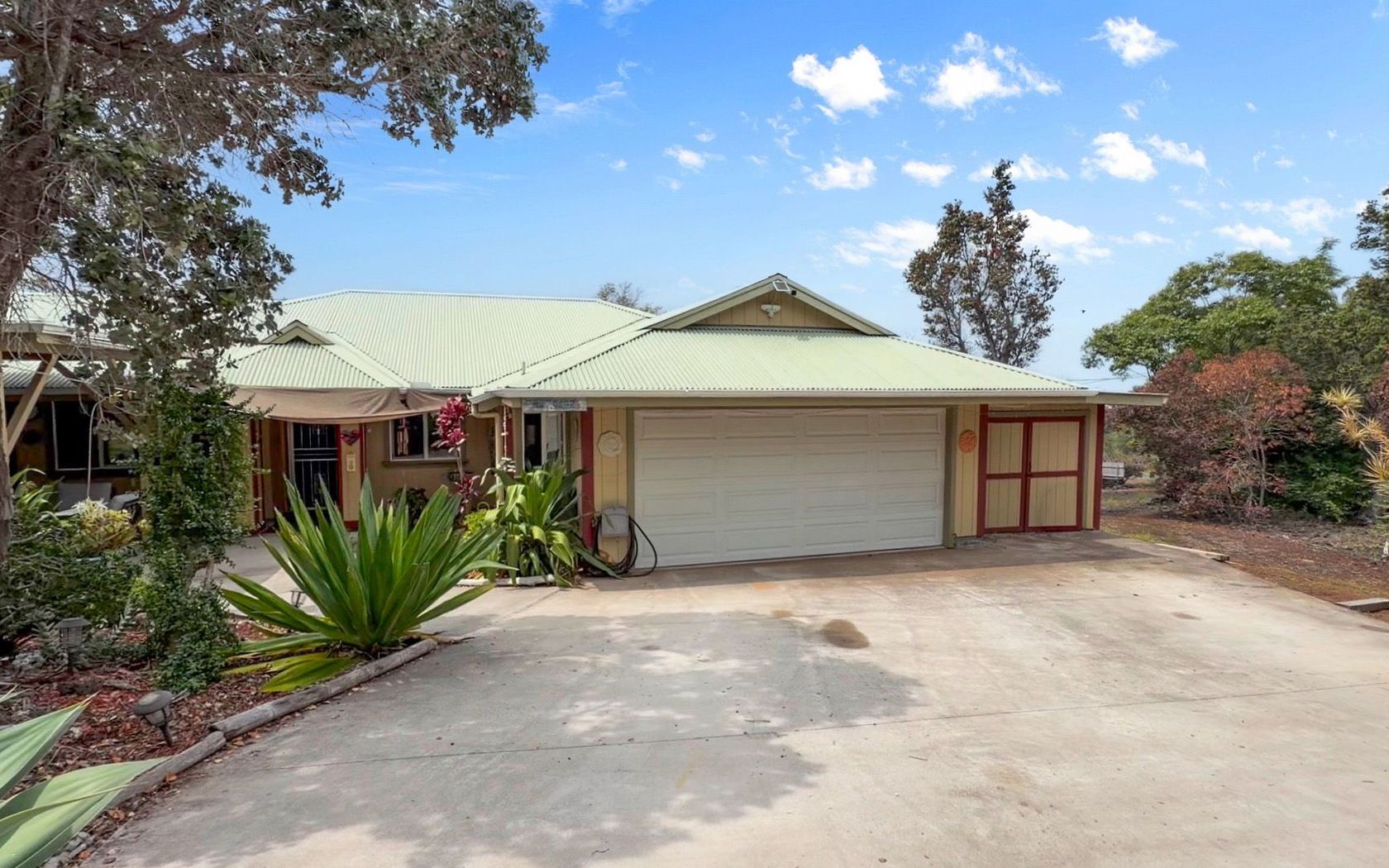
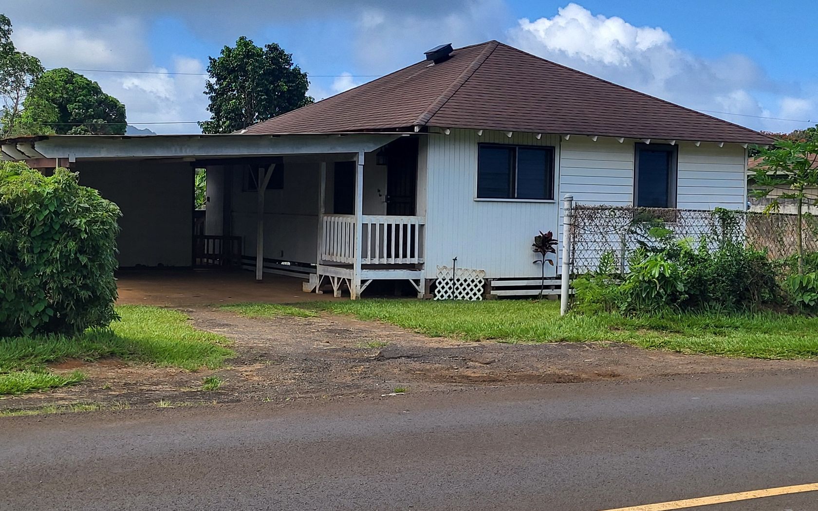
House in Hawi Big Island
Fresh on Market
$319,000
Fee Simple
Active
3
bed
2
bath
1,092
sf
1.00
acres
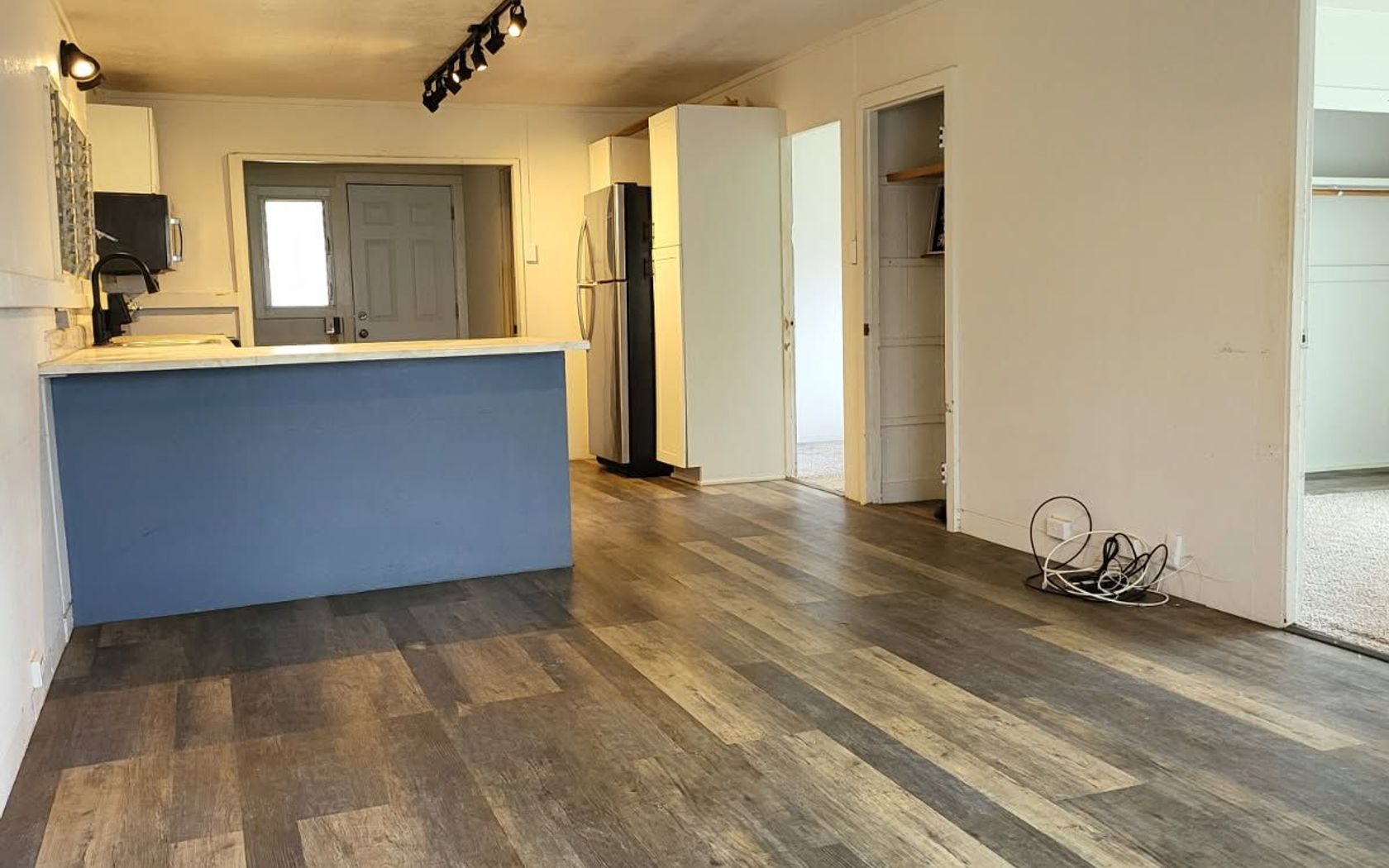
House in Hawaiian Ocean View Estates in Ocean View Big Island
Fresh on Market
$449,000
Fee Simple
Active
2
bed
1
bath
720
sf
Condo in Mauna Loa Shores in Hilo Big Island
Fresh on Market
$473,000
Fee Simple
Active
Studio
1
bath
380
sf
Condo in Napili Ridge in Napili/kahana/honokowai Maui
Fresh on Market
$82,000
Fee Simple
Active
0.50
acres
Land in Volcano Cymbidium Acres in Volcano Big Island
Fresh on Market
$479,000
Fee Simple
Active
Studio
1
bath
507
sf
Condo in Kaanapali Shores in Kaanapali Maui
Fresh on Market
$489,000
Fee Simple
Active
4
bed
2
bath
1,624
sf
1.00
acres
House in Hawaiian Ocean View Estates in Ocean View Big Island
Fresh on Market
$1,198,000
Fee Simple
Active
3
bed
2
bath
1,032
sf
0.23
acres
House in Kapaa Kauai
Fresh on Market
$1,350,000
Fee Simple
Active
1
bed
1.5
bath
901
sf
Condo in Masters at Kaanapali in Kaanapali Maui
Fresh on Market
$27,000
Fee Simple
Active
1.00
acres
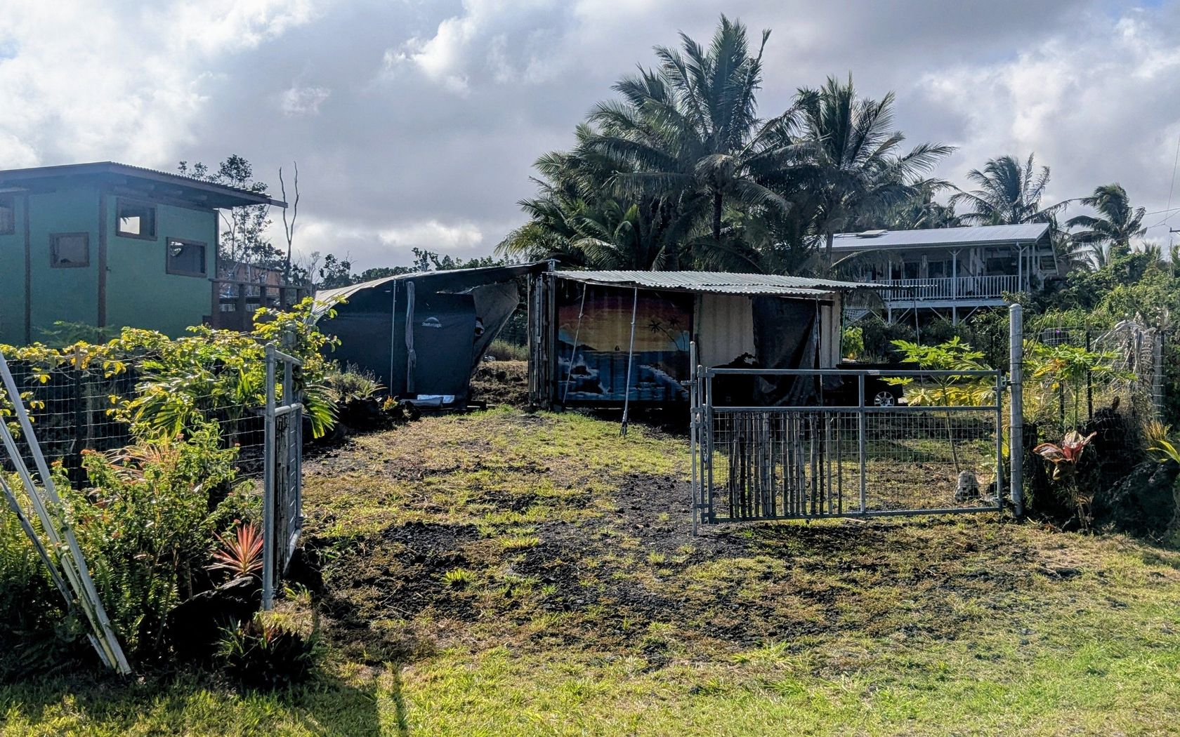
Land in Leilani Estates in Pahoa Big Island
Fresh on Market
$1,100,000
Fee Simple
Active
2
bed
2
bath
1,082
sf
Condo in Paki Maui in Napili-Honokowai Maui
Fresh on Market
$635,000
Fee Simple
Active
1
bed
1.5
bath
822
sf
Condo in Waikoloa Beach Resort - Shores in Kohala Coast Big Island
Fresh on Market
$849,000
Fee Simple
Active
3
bed
2.5
bath
1,921
sf
0.38
acres
House in Hawaiian Paradise Park in Keaau Big Island
Fresh on Market
$14,900
Fee Simple
Active
1.00
acres
Land in Hawaiian Ocean View Estates in Ocean View Big Island
Fresh on Market
$659,000
Fee Simple
Active
4
bed
3
bath
2,216
sf
0.31
acres
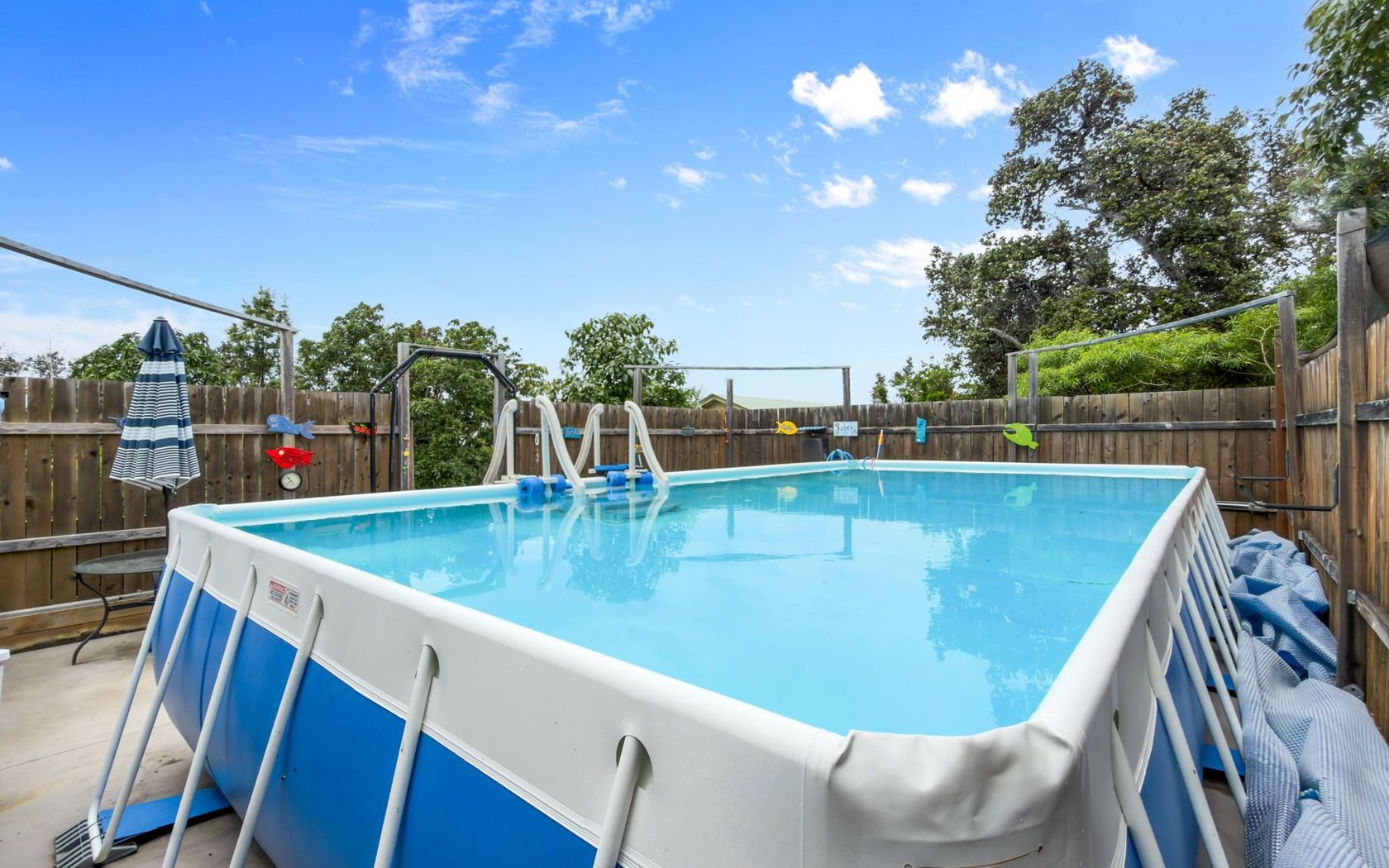
House in Discovery Harbor in Discovery Harbour Big Island
Fresh on Market
$250,000
Fee Simple
Active
0.15
acres
Land in Honokaa Big Island
Fresh on Market
$799,000
Fee Simple
Active
5
bed
3
bath
2,016
sf
0.14
acres
House in Honokaa Big Island
Fresh on Market
$924,000
Fee Simple
Active
6
bed
4
bath
2,112
sf
0.36
acres
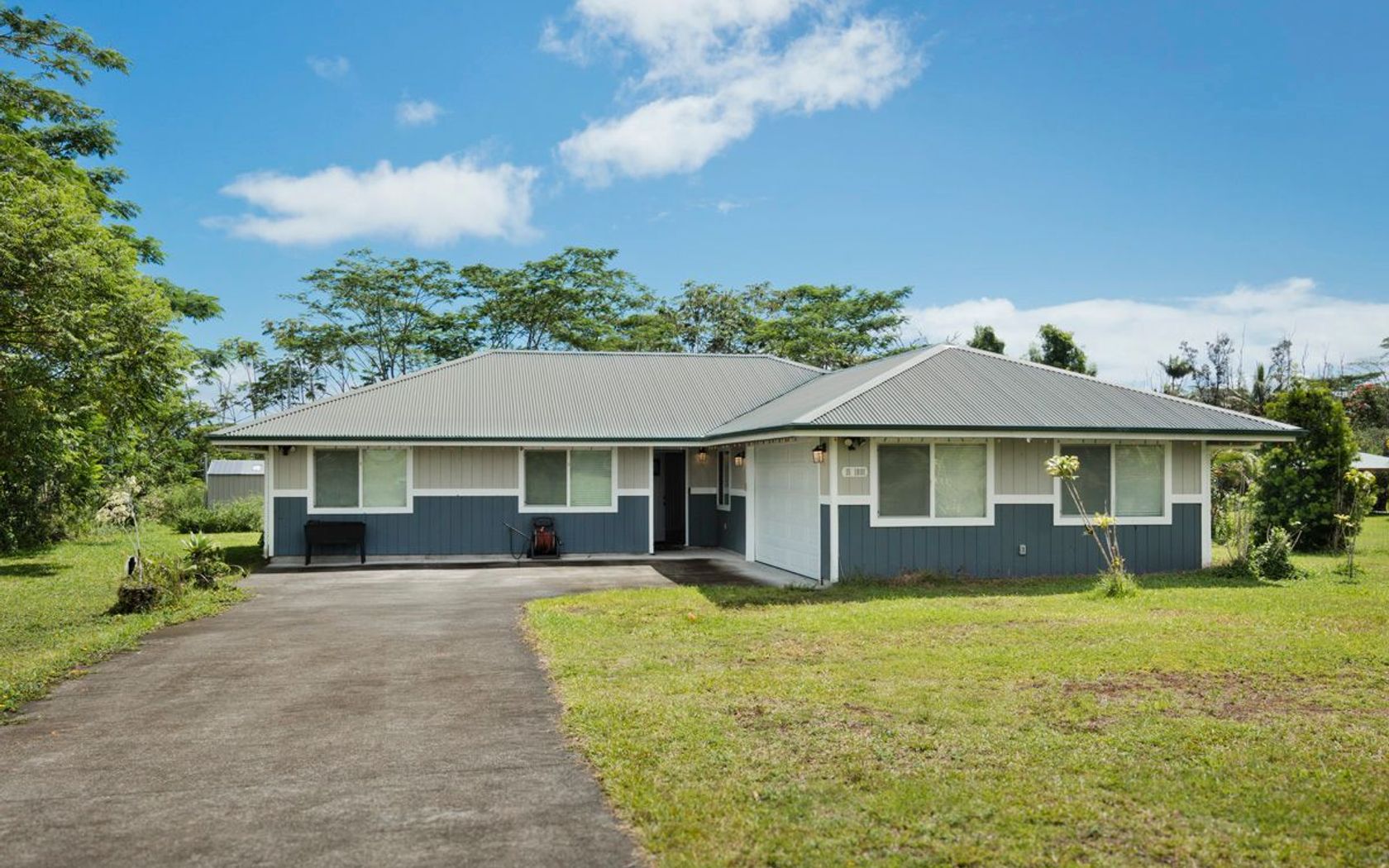
House in Kapaau Big Island
Fresh on Market
$390,000
Fee Simple
Active
3
bed
2.5
bath
1,208
sf
0.28
acres
House in Ainaloa in Pahoa Big Island
Fresh on Market
$575,000
Fee Simple
Active
4
bed
2
bath
1,632
sf
0.34
acres
House in Ainaola Houselots in Hilo Big Island
Fresh on Market
$425,000
Fee Simple
Active
1
bed
1
bath
616
sf
Condo in Puukapu Homesteads in Kamuela Big Island
Fresh on Market
$1,150,000
Fee Simple
Active
1
bed
1.5
bath
808
sf
Condo in Lae Nani in Kapaa Kauai
Fresh on Market
$699,000
Fee Simple
Active
3
bed
1
bath
826
sf
0.17
acres
House in Kapaa Kauai
Fresh on Market
$515,000
Fee Simple
Active
4
bed
2
bath
1,364
sf
1.00
acres
House in Hawaiian Paradise Park in Keaau Big Island
Fresh on Market
$1,250,000
Fee Simple
Active
3
bed
2
bath
1,950
sf
0.38
acres
House in Kona Orchard Subdivision in Kailua-Kona Big Island
Fresh on Market
$60,000
Fee Simple
Active Under Contract
0.34
acres
Land in Discovery Harbor in Discovery Harbour Big Island
Fresh on Market
$565,000
Fee Simple
Active
2
bed
2
bath
756
sf
Condo in South Kihei in Kihei Maui
Fresh on Market
$369,000
Fee Simple
Active
2
bed
1.5
bath
1,392
sf
1.00
acres
House in Hawaiian Ocean View Estates in Ocean View Big Island
Fresh on Market
$2,795,000
Fee Simple
Active
5
bed
3
bath
2,616
sf
0.20
acres
House in Moana Estates in Kihei Maui
Fresh on Market
$639,000
Fee Simple
Active
1
bed
1
bath
700
sf
Condo in South Kihei in Kihei Maui
Fresh on Market
$995,000
Fee Simple
Active
2
bed
2
bath
746
sf
Condo in Sealodge in Princeville Kauai
Fresh on Market
$330,000
Fee Simple
Active
2
bed
2
bath
1,055
sf
0.28
acres
House in Ainaloa in Pahoa Big Island
Fresh on Market
$398,000
Fee Simple
Active
1
bath
400
sf
0.11
acres
House in Kapaau Big Island
Fresh on Market
$249,900
Fee Simple
Active
3
bed
1.5
bath
960
sf
0.21
acres
House in Hawaiian Parks in Pahoa Big Island
Fresh on Market
$12,990,000
Fee Simple
Active
4
bed
5.5
bath
6,198
sf
1.14
acres
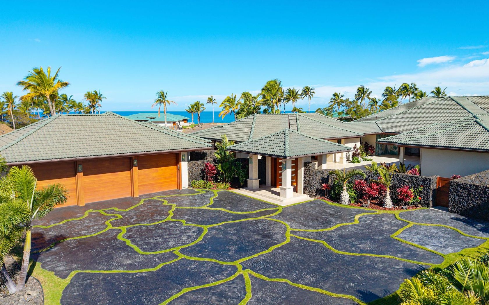
House in Ke Kailani in Kamuela Big Island
Fresh on Market
1 day ago
$615,000
Fee Simple
Active
2
bed
1
bath
654
sf
Condo in The Breakers in Napili/kahana/honokowai Maui
Fresh on Market
1 day ago
$143,000
Fee Simple
Active
0.18
acres
Land in Kalapana Sea View Estates in Pahoa Big Island
Fresh on Market
1 day ago
$575,000
Fee Simple
Active
10.00
acres
Land in Hakalau Big Island
Fresh on Market
1 day ago
$375,000
Fee Simple
Active
6
bed
3
bath
2,016
sf
1.00
acres
House in Hawaiian Paradise Park in Keaau Big Island
Fresh on Market
1 day ago
$12,000
Fee Simple
Active
0.18
acres
Land in Nanawale Estates in Pahoa Big Island
Fresh on Market
1 day ago
$620,000
Fee Simple
Active
2
bed
1
bath
646
sf
Condo in Napili Villas in Napili-Honokowai Maui
Fresh on Market
1 day ago
$407,000
Fee Simple
Active
2
bed
2
bath
793
sf
Condo in Fairway Terrace in Waikoloa Big Island
Fresh on Market
2 days ago
$749,000
Fee Simple
Active
2
bed
2
bath
890
sf
Condo in South Kihei in Kihei Maui
Fresh on Market
2 days ago
$389,000
Fee Simple
Active
7.14
acres
Land in Kona Sea Ranch in Captain Cook Big Island
Fresh on Market
2 days ago
$3,299,000
Fee Simple
Active
1
bed
1.5
bath
2,412
sf
43.13
acres
House in Makila Ridge in Lahaina Maui
Fresh on Market
2 days ago
$695,000
Fee Simple
Active
4
bed
2
bath
1,768
sf
0.21
acres
House in Hawaiian Shores Recreational Estates in Pahoa Big Island
Fresh on Market
2 days ago
$1,200,000
Fee Simple
Active
3
bed
2
bath
1,344
sf
0.24
acres
House in Lokahi Makai in Kailua-Kona Big Island
Fresh on Market
2 days ago
$18,000
Fee Simple
Active
0.18
acres
Land in Nanawale Estates in Pahoa Big Island
Fresh on Market
2 days ago
$365,000
Fee Simple
Active
1
bed
1
bath
645
sf
1.00
acres
House in Hawaiian Paradise Park in Keaau Big Island
Fresh on Market
2 days ago
$599,900
Fee Simple
Active
2
bed
1.5
bath
750
sf
Condo in Kihei Villages in Kihei Maui
Fresh on Market
2 days ago
$1,595,000
Fee Simple
Active
6
bed
2.5
bath
4,016
sf
5.00
acres
House in Honokaa Big Island
Fresh on Market
2 days ago
$1,300,900
Fee Simple
Active
3
bed
2.5
bath
1,699
sf
Condo in Waikoloa Beach Resort - Colony Villas in Kohala Coast Big Island
Fresh on Market
2 days ago
$375,000
Fee Simple
Active
0.44
acres
Land in Waiakea Nani Estates in Hilo Big Island
Fresh on Market
2 days ago
$1,099,999
Fee Simple
Active
3
bed
3
bath
1,420
sf
0.17
acres
House in Homesteads in Wailua Kauai
Fresh on Market
2 days ago
$1,490,000
Fee Simple
Active
3
bed
2
bath
1,812
sf
1.00
acres
House in Mokuloa in Kamuela Big Island
$1,499,000
Fee Simple
Active
2
bed
2
bath
1,215
sf
Condo in Makahuena in Poipu Kauai
$55,000
Fee Simple
Active
0.17
acres
Land in Kiloa in Captain Cook Big Island
$455,000
Fee Simple
Active
3
bed
2
bath
1,244
sf
0.28
acres
House in Ainaloa in Pahoa Big Island
$75,000
Fee Simple
Active
3.00
acres
Land in Fern Forest Vacation Estates in Volcano Big Island
$5,390,000
Fee Simple
Active
4
bed
4.5
bath
2,708
sf
House in Vista at Mauna Kea Resort in Kohala Coast Big Island
$1,095,000
Fee Simple
Active
3
bed
2
bath
1,416
sf
0.16
acres
House in Kapaa Kauai
$315,000
Fee Simple
Active
3
bed
2
bath
952
sf
2.36
acres
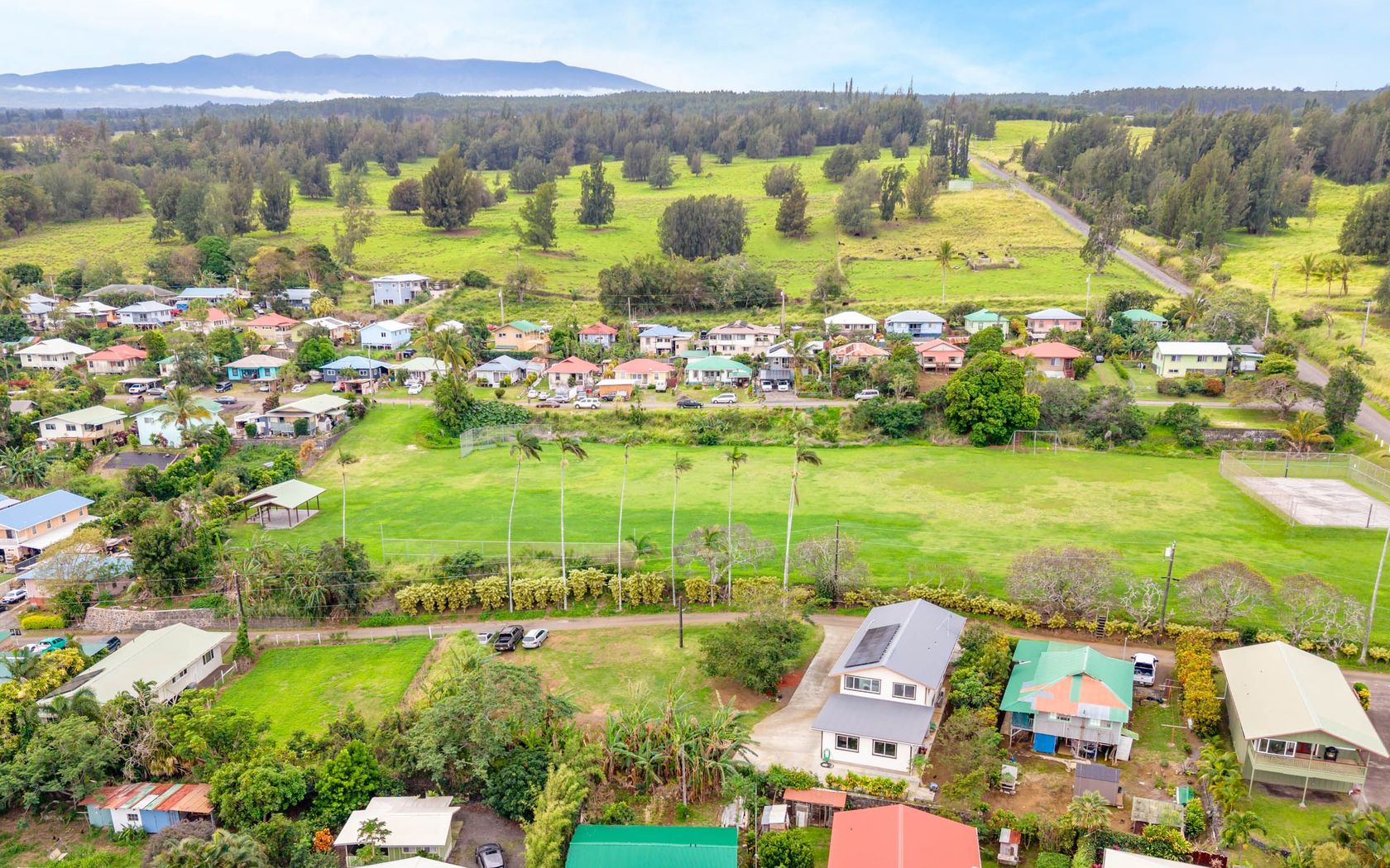
House in Kobayashi in Mountain View Big Island
$465,000
Fee Simple
Active
2
bed
1.5
bath
750
sf
Condo in Kihei Villages in Kihei Maui
$630,000
Fee Simple
Active
1
bed
2
bath
818
sf
Condo in South Kihei in Kihei Maui
$555,000
Fee Simple
Active
3
bed
2
bath
980
sf
Condo in Wailuku Maui
$995,000
Fee Simple
Active
2
bed
2
bath
1,037
sf
Condo in Alii Kai at Hanalei in Princeville Kauai
$35,000
Fee Simple
Active
0.21
acres
Land in Hawaiian Shores in Pahoa Big Island
$985,000
Fee Simple
Active
5
bed
3.5
bath
2,344
sf
0.38
acres
House in Hawaiian Paradise Park in Keaau Big Island
$85,000
Fee Simple
Active
3.00
acres
Land in Hawaiian Acres in Mountain View Big Island
$690,000
Fee Simple
Active
0.30
acres
Land in Kulamanu in Kula/ulupalakua/kanaio Maui
$189,000
Fee Simple
Active
2.17
acres
Land in Kawela Plantation Molokai
$1,395,000
Fee Simple
Active
4
bed
4
bath
2,411
sf
0.17
acres
House in Kona Sea View Lots in Kailua-Kona Big Island
$1,850,000
Fee Simple
Active
7
bed
4.5
bath
3,700
sf
0.22
acres
House in Hanapepe Kauai
$525,000
Fee Simple
Active
1
bed
1
bath
588
sf
Condo in South Kihei in Kihei Maui
$439,990
Fee Simple
Active
2
bed
1
bath
1,200
sf
2.13
acres
House in Orchid Land Estates in Keaau Big Island
$498,000
Fee Simple
Active
3
bed
2
bath
980
sf
Condo in Iao Parkside in Wailuku Maui
$105,000
Fee Simple
Active
1.00
acres
House in Hawaiian Ocean View Estates in Ocean View Big Island
$2,550,000
Fee Simple
Active
4
bed
3
bath
1,990
sf
0.15
acres
House in Kekaha Kauai
$2,550,000
Fee Simple
Active
4
bed
3
bath
2,136
sf
0.13
acres
House in Kekaha Kauai
$438,000
Fee Simple
Active
3
bed
1
bath
1,092
sf
0.33
acres
House in Waiakea Homesteads in Hilo Big Island
$450,000
Fee Simple
Active
3
bed
2
bath
1,056
sf
1.00
acres
House in Hawaiian Paradise Park in Keaau Big Island
$398,000
Fee Simple
Active
3
bed
2
bath
1,344
sf
0.28
acres
House in Ainaloa in Pahoa Big Island
Draw
Aerial
Update results on map move.
Hawaii Real Estate
Islands, districts & towns
Price
All Filters
9,947
Listings
Sort
9,947
Listings
Sort
Map
Fresh on Market
$1,299,000
Fee Simple
Active
4
bed
3
bath
1,774
sf
0.11
acres
House in Waikapu in Wailuku Maui
Fresh on Market
1 day ago
$45,000,000
Fee Simple
Active
8
bed
7.5
bath
7,510
sf
1.21
acres
House in Makena Maui
Fresh on Market
2 days ago
$358,000
Fee Simple
Active
Studio
1
bath
417
sf
Condo in Holualoa 3rd - Kaumalumalu in Kailua-Kona Big Island
$525,000
Fee Simple
Active
1
bed
1
bath
588
sf
Condo in South Kihei in Kihei Maui
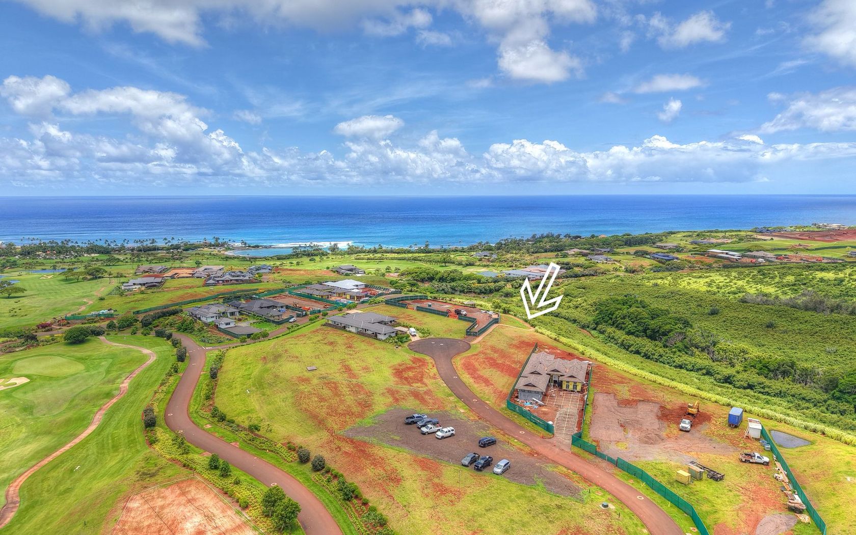
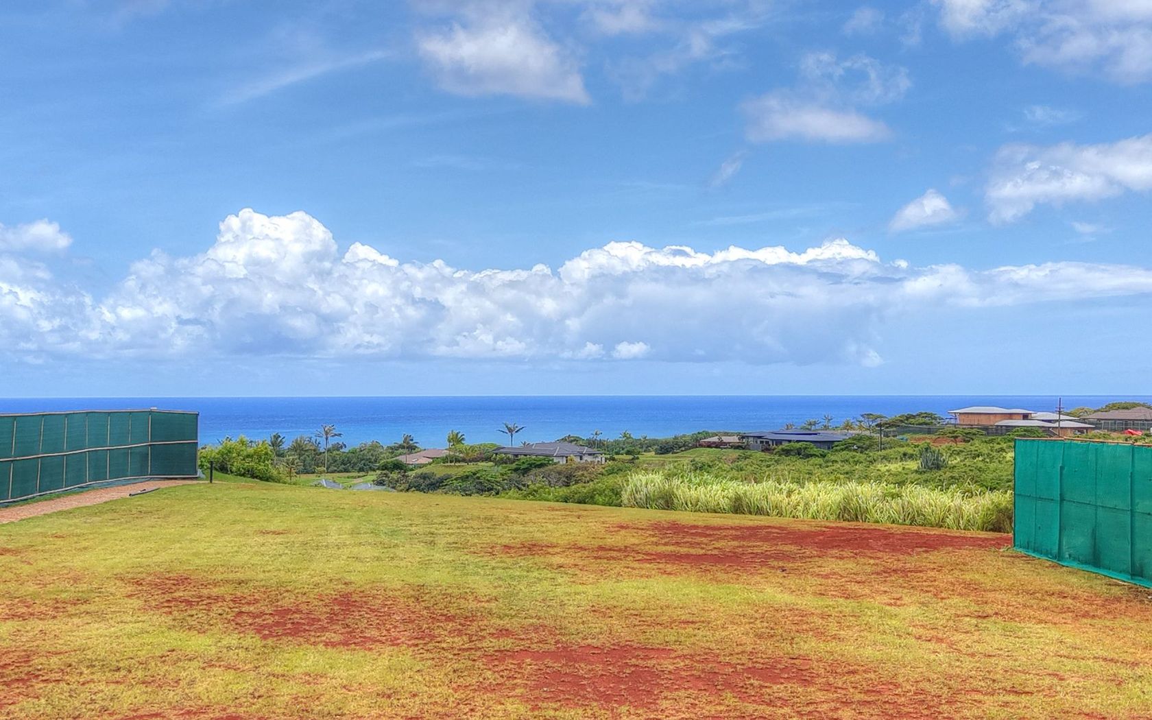
$1,400,000
Fee Simple
Active
0.35
acres
Land in Poipu Kauai
$1,799,000
Fee Simple
Active
3
bed
3
bath
2,022
sf
17
sq ft land
House in Vintage at Kaanapali in Kaanapali Maui
$350,000
Fee Simple
Active
0.51
acres
Land in Hawaiian Paradise Park in Keaau Big Island
$1,799,000
Fee Simple
Active
3
bed
3
bath
2,022
sf
Condo in Vintage at Kaanapali in Kaanapali Maui
Fresh on Market
$455,000
Fee Simple
Active
3
bed
2.5
bath
1,158
sf
1.00
acres
House in Hawaiian Paradise Park in Keaau Big Island
Fresh on Market
$2,298,000
Fee Simple
Active
3
bed
2
bath
1,730
sf
Condo in Sands of Kahana in Napili/kahana/honokowai Maui
Fresh on Market
$1,495,000
Fee Simple
Active
2
bed
2
bath
1,299
sf
Condo in Palms at Wailea in Wailea/makena Maui
Fresh on Market
$3,298,000
Fee Simple
Active
2
bed
3
bath
1,697
sf
Condo in Kapalua Bay Villas in Kapalua Maui
Fresh on Market
$2,398,000
Fee Simple
Active
2
bed
3
bath
1,503
sf
Condo in Kapalua Bay Villas in Kapalua Maui
Fresh on Market
$390,000
Fee Simple
Active
2
bed
1
bath
792
sf
Condo in Waimea Homesteads in Kamuela Big Island
Fresh on Market
$998,000
Fee Simple
Active
5
bed
3
bath
1,304
sf
3,319
sq ft land
House in Napilihau in Napili/kahana/honokowai Maui
Fresh on Market
$2,049,000
Fee Simple
Active
2
bed
3
bath
2,114
sf
Condo in Kapalua Ridge in Kapalua Maui
Fresh on Market
$6,398,000
Fee Simple
Active
2
bed
3
bath
1,935
sf
Condo in Kapalua Ironwoods in Kapalua Maui
Fresh on Market
$2,699,000
Fee Simple
Active
2
bed
2
bath
1,214
sf
Condo in Mahana in Kaanapali Maui
Fresh on Market
$749,000
Fee Simple
Active
3
bed
2
bath
1,072
sf
0.35
acres
House in Hawi Big Island
Fresh on Market
$319,000
Fee Simple
Active
3
bed
2
bath
1,092
sf
1.00
acres
House in Hawaiian Ocean View Estates in Ocean View Big Island
Fresh on Market
$449,000
Fee Simple
Active
2
bed
1
bath
720
sf
Condo in Mauna Loa Shores in Hilo Big Island
Fresh on Market
$473,000
Fee Simple
Active
Studio
1
bath
380
sf
Condo in Napili Ridge in Napili/kahana/honokowai Maui
Fresh on Market
$82,000
Fee Simple
Active
0.50
acres
Land in Volcano Cymbidium Acres in Volcano Big Island
Fresh on Market
$479,000
Fee Simple
Active
Studio
1
bath
507
sf
Condo in Kaanapali Shores in Kaanapali Maui
Fresh on Market
$489,000
Fee Simple
Active
4
bed
2
bath
1,624
sf
1.00
acres
House in Hawaiian Ocean View Estates in Ocean View Big Island
Show All
1
2
3
4
5
...
99